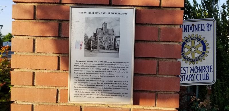
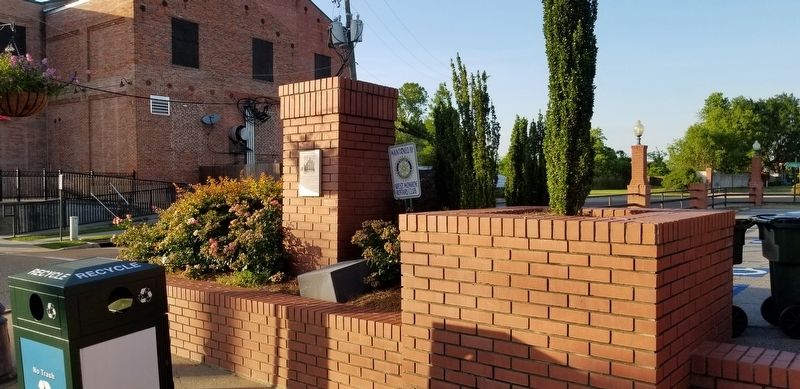
Site of First City Hall of West Monroe
The two-story building, built in 1907-1908 during the administration of Mayor R. L. Rinehart, was designed by William Drago and based upon Old World Dutch architecture. This was evidenced by the interesting and unusual proportions of the building, which had two floors of exactly the same height and a roof the same height as each floor. A stairway in the front center of the building connected the two floors.
The city officials' offices were in the front of the lower floor, and the jail
and fire department were in the rear.
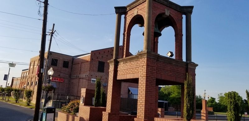
In the belfry, atop the front roof, hung a bell which was rung in case of
fires and on special occasions. This bell, removed from the belfry before
the building was demolished, was donated to West Monroe High School.
The bell was mounted on the east end of the football field and is still rung
today whenever the home team scores a touchdown.
The building was the center of city government until a new city hall was
built on Natchitoches Street in 1948. The building was charred by fire on
December 14, 1964, and was razed shortly thereafter.
Topics. This historical marker is listed in these topic lists: Architecture • Government & Politics.
Location. 32° 30.15′ N, 92° 7.487′ W. Marker is in West Monroe
Other nearby markers. At least 8 other markers are within walking distance of this marker. Webb Pierce (approx. 0.2 miles away); Don Juan Filhiol Historic Preservation District (approx. 0.3 miles away); Art Alley (approx. half a mile away); Prairie des Canots Seat of Justice (approx. half a mile away); Operation Iraqi Freedom Memorial (approx. half a mile away); St. Matthew Catholic Church (approx. 0.6 miles away); Ouachita Parish High School (approx. 0.6 miles away); Mr. Jack Hayes / Mrs. Ann Stapp Hayes (approx. 0.6 miles away). Touch for a list and map of all markers in West Monroe.
Credits. This page was last revised on May 17, 2020. It was originally submitted on May 16, 2020, by Cajun Scrambler of Assumption, Louisiana. This page has been viewed 292 times since then and 50 times this year. Photos: 1, 2, 3. submitted on May 16, 2020, by Cajun Scrambler of Assumption, Louisiana.


