Utica in Venango County, Pennsylvania — The American Northeast (Mid-Atlantic)
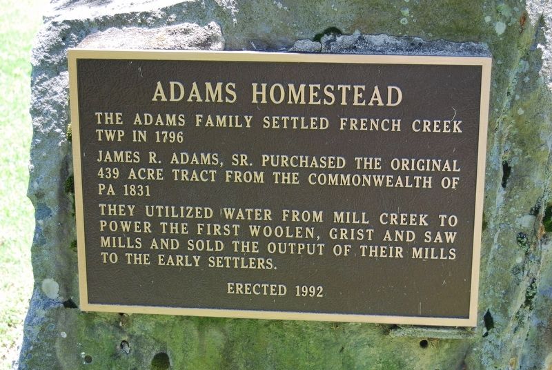
Adams Homestead
Photographed by Mike Wintermantel, June 20, 2014
1. Adams Homestead Marker
James R. Adams, Sr. Purchased the original 439 acre tract from the Commonwealth of PA 1831
They utilized water from Mill Creek to power the first woolen, grist and saw mills and sold the output of their mill to the early settlers.
Erected 1992.
Topics. This historical marker is listed in this topic list: Notable Places. A significant historical year for this entry is 1796.
Location. 41° 25.938′ N, 79° 57.269′ W. Marker is in Utica, Pennsylvania, in Venango County. It can be reached from Grant Street 0.2 miles 2nd Street. Touch for map. Marker is in this post office area: Utica PA 16362, United States of America. Touch for directions.

Regionally, this marker is in Northwestern Pennsylvania. It is also in the American Northeast, in the Mid-Atlantic, in Appalachia, and specifically in Northern Appalachia. Globally, it is in North America, the Western Hemisphere, the Western World, and the Anglosphere. Historically, it finds itself in what was once the Viceroyalty of New France, the Haudenosaunee (Iroquois) Confederacy, and one of the original Thirteen
this page online
Other nearby markers. At least 8 other markers are within 7 miles of this marker, measured as the crow flies: Utica Bridge (approx. 0.4 miles away); Carlton Bridge (approx. 4.3 miles away); Veterans Memorial (approx. 4.7 miles away); Civil War Memorial (approx. 6.7 miles away); a different marker also named Veterans Memorial (approx. 6.7 miles away); Fort Franklin (approx. 6.8 miles away); Johnny Appleseed (approx. 6.8 miles away); Major General Jesse L. Reno (approx. 6.8 miles away).
Photographed by Mike Wintermantel, June 20, 2014
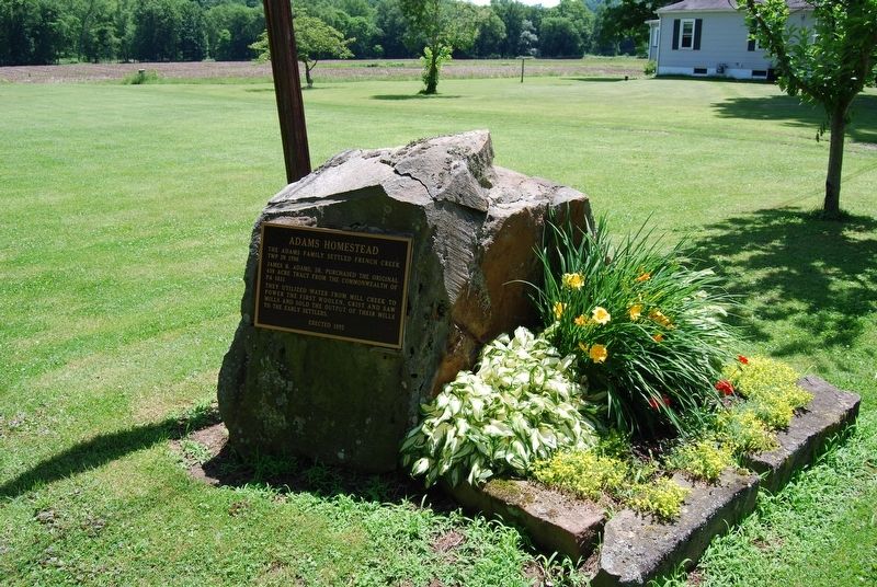
2. Adams Homestead Marker
Photographed by Mike Wintermantel, June 9, 2019
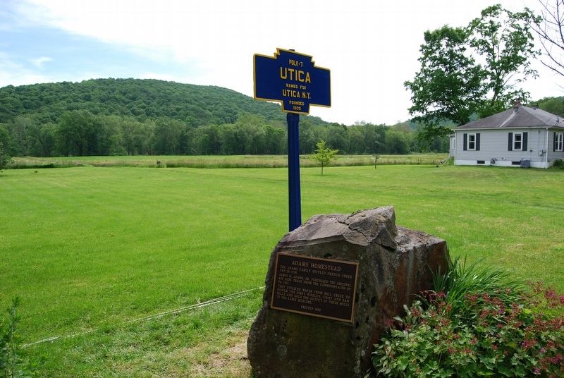
3. Adams Homestead Marker
Credits. This page was last revised on May 17, 2020. It was originally submitted on May 17, 2020, by Mike Wintermantel of Pittsburgh, Pennsylvania. This page has been viewed 480 times since then and 21 times this year. Photos: 1, 2, 3. submitted on May 17, 2020, by Mike Wintermantel of Pittsburgh, Pennsylvania.
