Stony Creek in Warren County, New York — The American Northeast (Mid-Atlantic)
Warren County
1813 - 1913
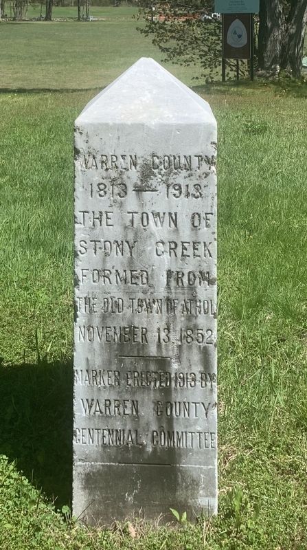
Photographed by Steve Stoessel, May 16, 2020
1. Warren County Marker
Erected 1913 by Warren County Centennial Commission.
Topics. This historical marker is listed in this topic list: Political Subdivisions. A significant historical date for this entry is November 13, 1852.
Location. 43° 25.707′ N, 73° 55.83′ W. Marker is in Stony Creek, New York, in Warren County. It is at the intersection of Harrisburg Road and Lanfear Road on Harrisburg Road. Touch for map. Marker is in this post office area: Stony Creek NY 12878, United States of America. Touch for directions.

Regionally, this marker is in Upstate New York and in the Capital District. It is also in the American Northeast and in the Mid-Atlantic. Globally, it is in North America, the Great North Woods, the Western Hemisphere, the Western World, and the Anglosphere. Historically, it finds itself in what was once the Viceroyalty of New France, New Netherland, and one of the original Thirteen Colonies.
Other nearby markers. At least 8 other markers are within 5 miles of this marker, measured as the crow flies: Stony Creek War Memorials (a few steps from this marker); Stony Creek (a few steps from this marker); History of Stony Creek (approx. 0.3 miles away); John P. Bowman (approx. 0.3 miles away); a different marker also named John P. Bowman (approx. 0.3 miles away); Town Line (approx. 3.7 miles away); (Hadley Mountain) Fire Tower (approx. 4 miles away); James Cameron (approx. 4.4 miles away). Touch for a list and map of all markers in Stony Creek.
this page online
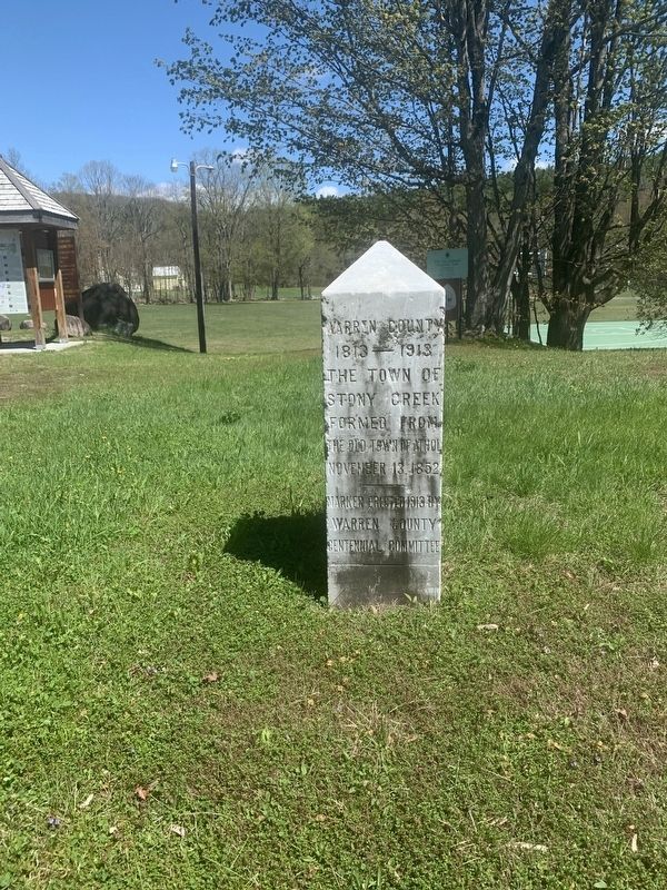
Photographed by Steve Stoessel, May 16, 2020
2. Warren County Marker
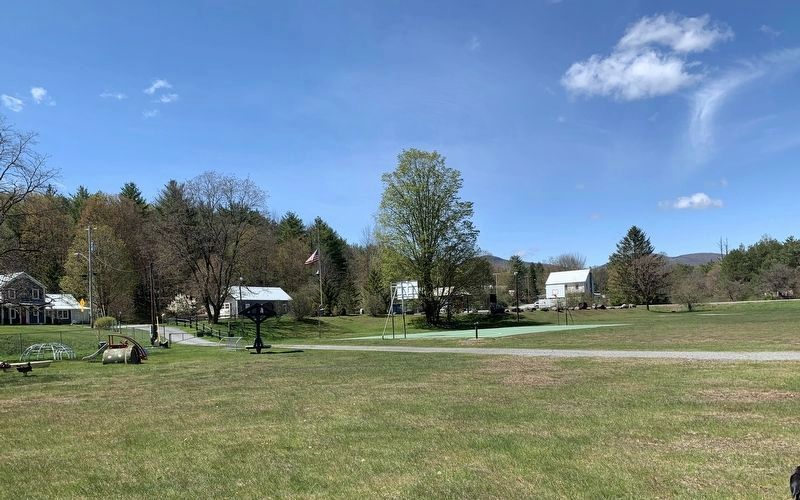
Photographed by Steve Stoessel, May 16, 2020
3. View of the Memorial Section of Park
Several markers are grouped together into the landscaped section near the flagpole next to the entrance to the park. The Warren County marker is midway between flagpole and basketball hoop.
Credits. This page was last revised on May 20, 2020. It was originally submitted on May 17, 2020, by Steve Stoessel of Niskayuna, New York. This page has been viewed 221 times since then and 13 times this year. Photos: 1. submitted on May 17, 2020, by Steve Stoessel of Niskayuna, New York. 2, 3. submitted on May 18, 2020, by Steve Stoessel of Niskayuna, New York. • Bill Pfingsten was the editor who published this page.
