Baltimore Hundred in South Bethany in Sussex County, Delaware — The American Northeast (Mid-Atlantic)
South Bethany's Historic Roots
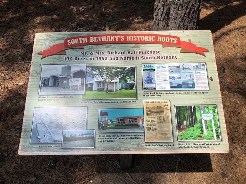
Mr. & Mrs. Richard Hall Purchase 130 Acres in 1952 and Name it South Bethany
[Captions:]
Richard Hall stands proudly at his South Bethany office.
N. 4th Street field office remains a residence in 2017.
1950's South Bethany brochure – its descriptive words still apply to our Town today.
Lot for sale! – 1962
In the early 1970's, Shore-Lea Real Estate office was located between Indian Street and S. 9th Street.
1959 – South Bethany lot ad
Richard Hall Memorial Park is named after South Bethany founder.
Erected by The Town of South Bethany, Delaware.
Topics. This historical marker is listed in these topic lists: Industry & Commerce • Notable Places. A significant historical year for this entry is 1952.
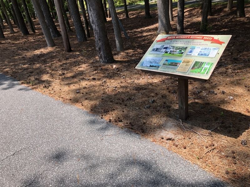
Location. 38° 31.275′ N, 75° 3.722′ W. Marker is in South Bethany, Delaware, in Sussex County. It is in Baltimore Hundred. It is on Russell Road just west of Evergreen Road, on the right when traveling west. Touch for map. Marker is at or near this postal address: 133 Evergreen Rd, Bethany Beach DE 19930, United States of America. Touch for directions.

Regionally, this marker is on Delaware’s
this page online
Other nearby markers. At least 8 other markers are within 2 miles of this marker, measured as the crow flies: Key Dates and Events in the Town's History (within shouting distance of this marker); Life in South Bethany Through the Years (within shouting distance of this marker); South Bethany's Local Government Evolves Over the Years (within shouting distance of this marker); South Bethany in the 21st Century (about 300 feet away, measured in a direct line); From Farmland and Forest to Fabulous Resort Area (approx. 0.9 miles away); The Evolution of Paradise Shores & York Beach (approx. 0.9 miles away); Townsend House (approx. 1.1 miles away); Scott House (approx. 1.1 miles away). Touch for a list and map of all markers in South Bethany.
Credits. This page was last revised on June 25, 2026. It was originally submitted on May 17, 2020, by Devry Becker Jones of Washington, District of Columbia. This page has been viewed 263 times since then and 16 times this year. Photos: 1, 2. submitted on May 17, 2020, by Devry Becker Jones of Washington, District of Columbia.
