Quincy in Adams County, Illinois — The American Midwest (Great Lakes)
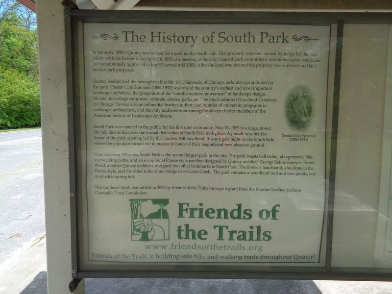
The History of South Park
In the early 1890's Quincy saw a need for a park on the South side. This property was then owned by Judge B.F. Berrian jointly with his brothers. On April 16, 1895 at a meeting of the City Council park committee a recommendation was made and unanimously approved to buy 52 acres for $19,500. After the land was secured the property was surveyed and laid out for park purposes.
Quincy leaders had the foresight to hire Mr. O.C. Simonds, of Chicago, as landscape architect for the park. Ossian Cole Simonds (1855-1931) was one of the country's earliest and most important landscape architects, the progenitor of the "middle-western movement" of landscape design. He laid out college campuses, arboreta, estates, parks, and the much admired Graceland Cemetery in Chicago. He was also an influential teacher, author, and founder of university programs in landscape architecture, and the only midwesterner among the eleven charter members of the American Society of Landscape Architects.
South Park was opened to the public for the first time on Sunday, May 18, 1895 to a large crowd. On July 2nd of that year the formal dedication of South Park took place. A parade was held in honor of the park opening led by the Gardner Military Band. It was a gala night on the South Side where the populace turned out in masses in honor of their magnificent new pleasure ground.
Now covering 135 acres, South Park is the second largest park in the city. The park boosts ball fields, playgrounds, bike and walking paths, and an exceptional Prairie style pavilion designed by Quincy architect George Behrensmeyer. Ernest Wood, another Quincy architect, designed two other landmarks in South Park. The first is a bandstand, also done in Prairie style, and the other is the stone bridge over Curtis Creek. The park contains a woodland trail and two ponds, one of which is spring fed.
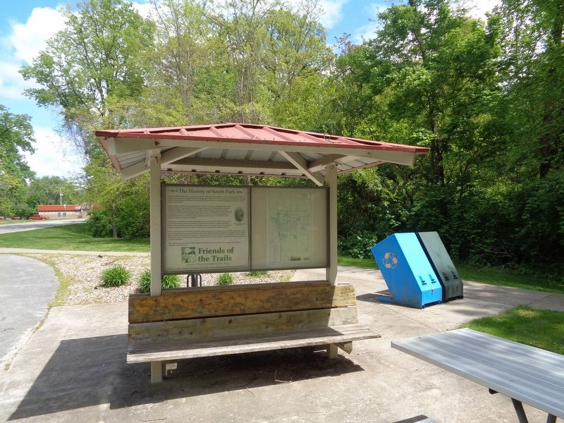
This trailhead kiosk was added in 2002 by Friends of the Trails through a grant from the Marion Gardner Jackson Charitable Trust Foundation.
Erected 2002 by Friends of the Trails.
Topics. This historical marker is listed in this topic list: Parks & Recreational Areas. A significant historical date for this entry is April 16, 1895.
Location. 39° 54.806′ N, 91° 23.888′ W. Marker is in Quincy, Illinois, in Adams County. Marker is on RJ Peters Drive west of 12th Street, on the right when traveling east. Touch for map. Marker is at or near this postal address: South 12th Street, Quincy IL 62301, United States of America. Touch for directions.
Other nearby markers. At least 8 other markers are within walking distance of this marker. Indian Mounds Park (approx. 0.6 miles away); Quincy (approx. 0.6 miles away); Paleoindian (approx. 0.6 miles away); Archaic
(approx. 0.6 miles away); Marquette & Jolliet (approx. 0.6 miles away); Mississippian (approx. 0.6 miles away); Woodland (approx. 0.7 miles away); A Victorian Cemetery (approx. ¾ mile away). Touch for a list and map of all markers in Quincy.
Also see . . .
1. South Park. From Quincy Park District's website, this is the official page for the park. (Submitted on May 19, 2020, by Jason Voigt of Glen Carbon, Illinois.)
2. Friends of the Trails. Also from Quincy Park District's website, this is about the series of recreational trails that are accessible in Quincy. Link is on the marker. (Submitted on May 19, 2020, by Jason Voigt of Glen Carbon, Illinois.)
Credits. This page was last revised on May 19, 2020. It was originally submitted on May 19, 2020, by Jason Voigt of Glen Carbon, Illinois. This page has been viewed 280 times since then and 32 times this year. Photos: 1, 2. submitted on May 19, 2020, by Jason Voigt of Glen Carbon, Illinois. • Devry Becker Jones was the editor who published this page.

