Columbia Heights in Northwest Washington in Washington, District of Columbia — The American Northeast (Mid-Atlantic)
Holmead Legacy
Cultural Convergence
— Columbia Heights Heritage Trail —
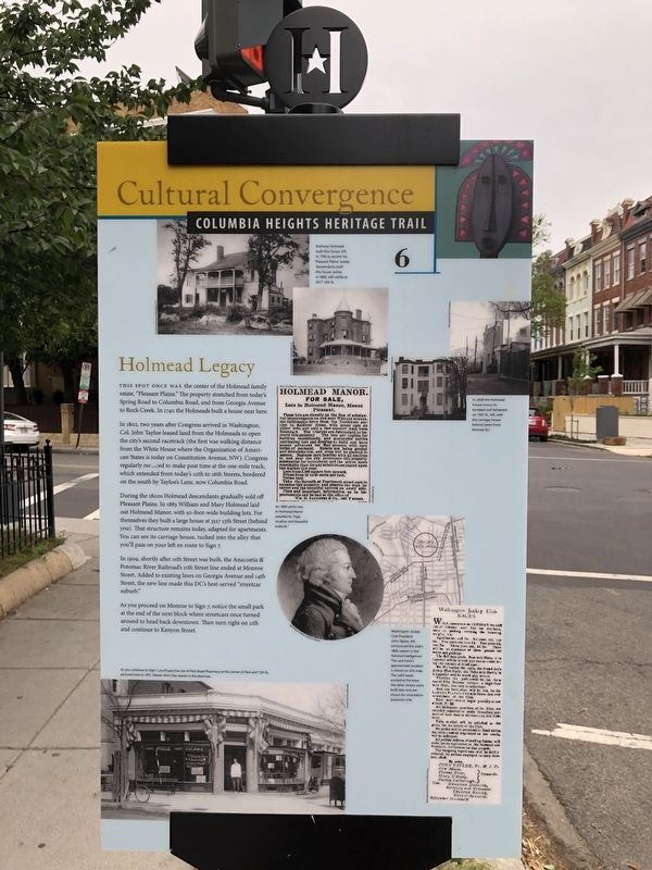
This spot once was the center of the Holmead family estate, "Pleasant Plains." The property stretched from today's Spring Road to Columbia Road, and from Georgia Avenue to Rock Creek. In 1740 the Holmeads built a house near here.
In 1802, two years after Congress arrived in Washington, Col. John Tayloe leased land from the Holmeads to open the city's second racetrack (the first was walking distance from the White House where the Organization of American States is today on Constitution Avenue, NW). Congress regularly recessed to make post time at the one-mile track, which extended from today's 10th to 16th Streets, bordered on the south by Tayloe's Lane, now Columbia Road.
During the 1800s Holmead descendents gradually sold off Pleasant Plains. In 1883 William and Mary Holmead laid out Holmead Manor, with 50-foot wide building lots. For themselves they built a large house at 3517 13th Street (behind you). That structure remains today, adapted for apartments. You can see its carriage house, tucked into the alley that you'll pass on your left en route to Sign 7.
In 1909, shortly after 11th Street was built, the Anacostia & Pacific River Railroad's 11th Street line ended at Monroe Street. Added to existing lines on Georgia Avenue and 14th Street, the new line made this DC's best-served "streetcar suburb."
As you proceed on Monroe to Sign 7, notice the small park at the end of the block where streetcars once turned around to head back downtown. Then turn right on 11th and continue to Kenyon Street.
Erected 2009 by Cultural Tourism DC. (Marker Number 6.)
Topics and series. This historical marker is listed in these topic lists: Animals • Colonial Era • Railroads & Streetcars • Settlements & Settlers • Sports. In addition, it is included in the Columbia Heights Heritage Trail series list. A significant historical year for this entry is 1740.
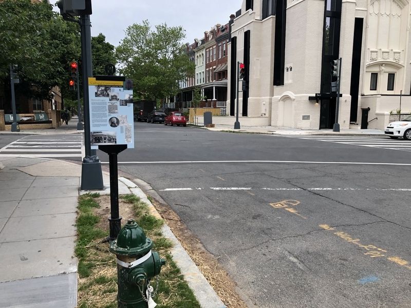
Location. 38° 55.945′ N, 77° 1.791′ W. Marker is in Northwest Washington in Washington, District of Columbia. It is in Columbia Heights. Marker is at the intersection of Monroe Street Northwest and 13th Street Northwest, on the right when traveling west on Monroe Street Northwest. Touch for map. Marker is at or near this postal address: 3500 13th St NW, Washington DC 20010, United States of America. Touch for directions.
Other nearby markers. At least 8 other markers are within walking distance of this marker. A Changing Landscape (about 400 feet away, measured in a direct line); Park Road Community Church (about 600 feet away); After the Hard Times (about 800 feet away); Charles R. Drew and Lenore Robbins Drew (approx. 0.2 miles away); Nob Hill (approx. 0.2 miles away);
Credits. This page was last revised on January 30, 2023. It was originally submitted on May 19, 2020, by Devry Becker Jones of Washington, District of Columbia. This page has been viewed 249 times since then and 56 times this year. Photos: 1, 2, 3. submitted on May 19, 2020, by Devry Becker Jones of Washington, District of Columbia.

![Holmead Legacy Marker [Reverse]. Click for full size. Holmead Legacy Marker [Reverse] image. Click for full size.](Photos5/522/Photo522551.jpg?5192020101900PM)
