Near Crossville in Cumberland County, Tennessee — The American South (East South Central)
Cumberland Homesteads Historic District
1934-1941
Inscription.
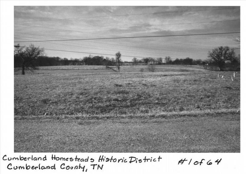
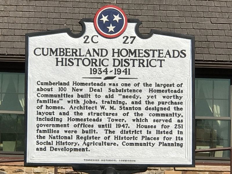
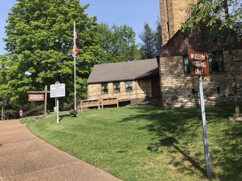
Cumberland Homesteads was one of the largest of about 100 New Deal Subsistence Homesteads Communities built to aid “needy, yet worthy families” with jobs, training, and the purchase of homes. Architect W. M. Stanton designed the layout and the structures of the community, including Homesteads Tower, which served as government offices until 1947. Houses for 251 families were built. The district is listed in the National Register of Historic Places for its Social History, Agriculture, Community Planning and Development.
Erected by Tennessee Historical Commission. (Marker Number 2C 27.)
Topics and series. This historical marker is listed in these topic lists: Architecture • Charity & Public Work • Settlements & Settlers. In addition, it is included in the Tennessee Historical Commission series list. A significant historical year for this entry is 1934.
Location. 35° 54.273′ N, 84° 59.107′ W. Marker is near Crossville, Tennessee, in Cumberland County. Marker is at the intersection of Homestead Access Road and U.S. 127, on the left when traveling west on Homestead Access Road. Touch for map. Marker is at or near this postal address: 96 Highway 68, Crossville TN 38555, United States of America. Touch for directions.
Other nearby markers. At least 8 other markers are within 4 miles of this marker, measured as the crow flies. Cumberland County Families (approx. ¾ mile away); Cumberland Mountain State Park Bridge (approx. 0.8 miles away); Veterans Memorial (approx. 2.4 miles away); In Honor Of George Washington (approx. 2.4 miles away); Built in 1935 by Wm. Garrison (approx. 3.7 miles away); "Tinker Dave" Beaty (approx. 3.7 miles away); Built in 1938 (approx. 3.7 miles away); Mandy Barnett (approx. 3.8 miles away). Touch for a list and map of all markers in Crossville.
Also see . . . Cumberland Homesteads. Tennessee Encyclopedia website entry (Submitted on May 21, 2020, by Duane and Tracy Marsteller of Murfreesboro, Tennessee.)

via NPS, unknown
3. Cumberland Homesteads Historic District
National Register of Historic Places Digital Archive on NPGallery website entry
Click for more information.
Click for more information.
Credits. This page was last revised on December 29, 2021. It was originally submitted on May 21, 2020, by Duane and Tracy Marsteller of Murfreesboro, Tennessee. This page has been viewed 260 times since then and 19 times this year. Photos: 1, 2. submitted on May 21, 2020, by Duane and Tracy Marsteller of Murfreesboro, Tennessee. 3. submitted on December 29, 2021, by Larry Gertner of New York, New York. 4. submitted on May 21, 2020, by Duane and Tracy Marsteller of Murfreesboro, Tennessee. • Devry Becker Jones was the editor who published this page.


