Straban Township near Gettysburg in Adams County, Pennsylvania — The American Northeast (Mid-Atlantic)
Gettysburg Campaign
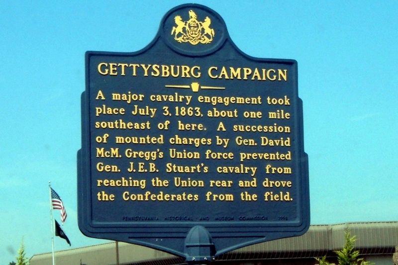
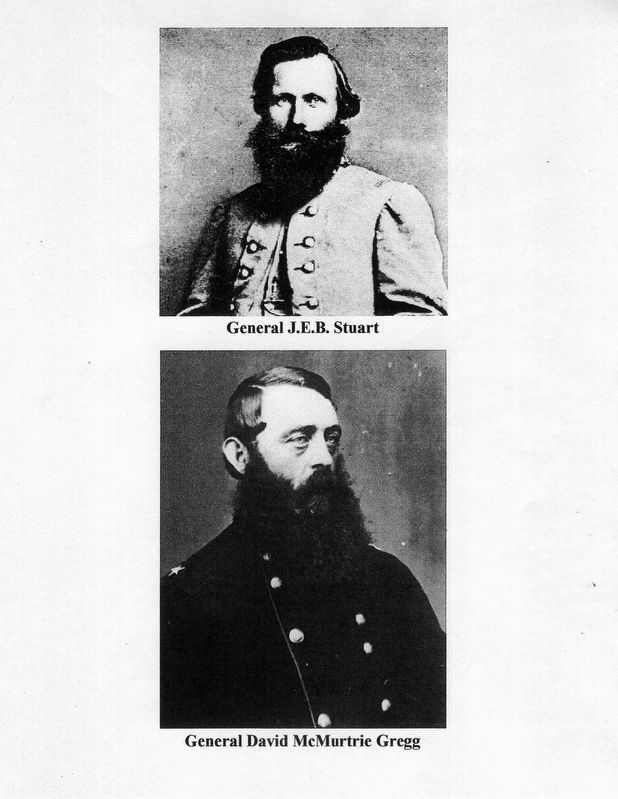
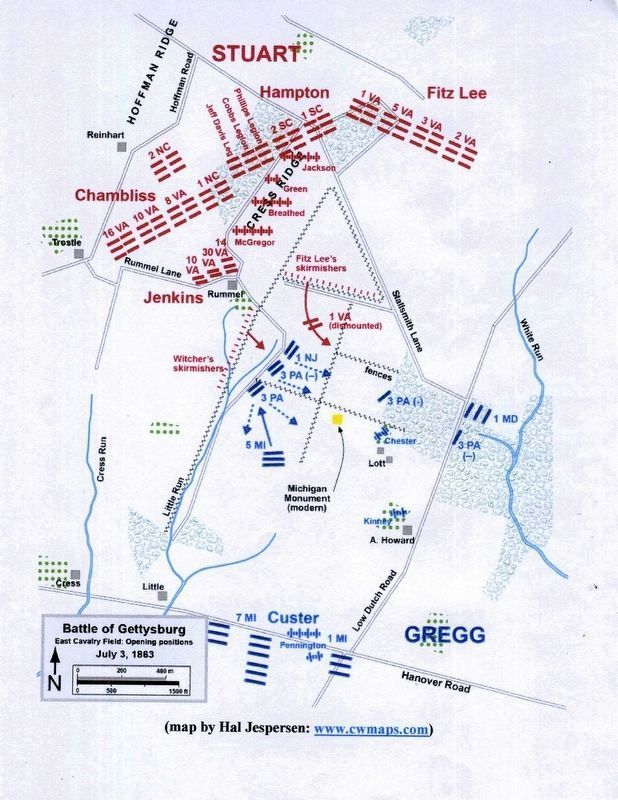
A major cavalry engagement took place July 3, 1863, about one mile southeast of here. A succession of mounted charges by Gen. David McM. Gregg’s Union force prevented Gen J.E.B. Stuart’s cavalry from reaching the Union rear and drove the Confederates from the field.
Erected 1992 by Pennsylvania Historical and Museum Commission.
Topics. This historical marker is listed in this topic list: War, US Civil. A significant historical date for this entry is July 3, 1863.
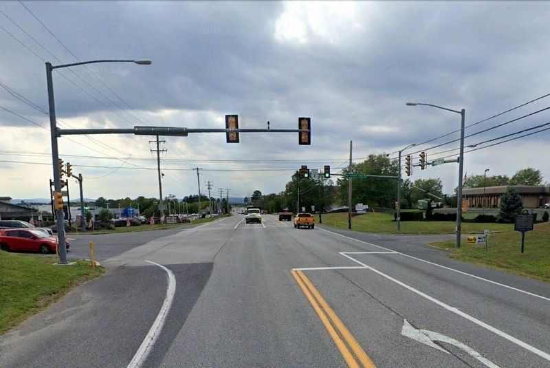
Location. 39° 50.904′ N, 77° 10.937′ W. Marker is near Gettysburg, Pennsylvania, in Adams County. It is in Straban Township. Marker is at the intersection of Lincoln Highway (Pennsylvania Route 30) and Cavalry Field Road, on the right when traveling west on Lincoln Highway. Touch for map. Marker is in this post office area: Gettysburg PA 17325, United States of America. Touch for directions.
Other nearby markers. At least 8 other markers are within one mile of this marker, measured as the crow flies. Lincoln's Gettysburg Speech (approx. 0.7 miles away); Civil War Hospital (approx. 0.9 miles away); Camp Letterman (approx. 0.9 miles away); A Thunderous Charge (approx. 1.1 miles away); Fitzhugh Lee's Brigade (approx. 1.1 miles away); Green's Battery - Jones's Battalion (approx. 1.1 miles away); Horse Artillery (approx. 1.1 miles away); Breathed's Battery - Beckham's Battalion (approx. 1.1 miles away). Touch for a list and map of all markers in Gettysburg.
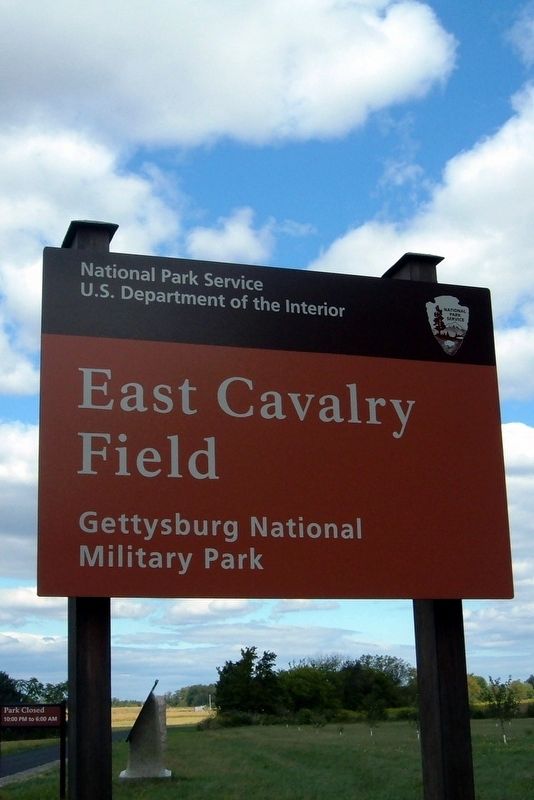
Also see . . . Tour the East Cavalry Field battlefield. "Stone Sentinels" entry (Submitted on May 23, 2020, by Larry Gertner of New York, New York.)
Credits. This page was last revised on February 7, 2023. It was originally submitted on May 23, 2020, by Larry Gertner of New York, New York. This page has been viewed 223 times since then and 16 times this year. Photos: 1, 2, 3, 4, 5, 6. submitted on May 23, 2020, by Larry Gertner of New York, New York.
