Rainbow Bridge
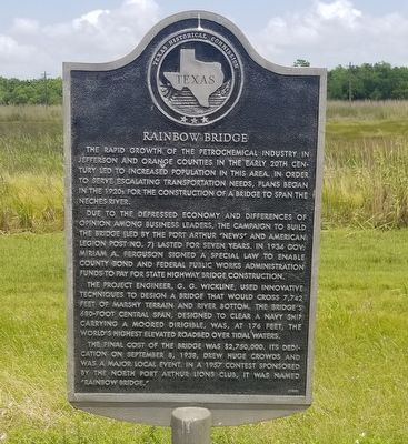
The rapid growth of the petrochemical industry in Jefferson and Orange counties in the early 20th century led to increased population in this area. In order to serve escalating transportation needs, plans began in the 1920s for the construction of a bridge to span the Neches River.
Due to the depressed economy and differences of opinion among business leaders, the campaign to build the bridge (led by the Port Arthur "News" and American Legion Post No. 7) lasted for seven years. In 1934 Gov. Miriam A. Ferguson signed a special law to enable county bond and Federal Public Works Administration funds to pay for state highway bridge construction.
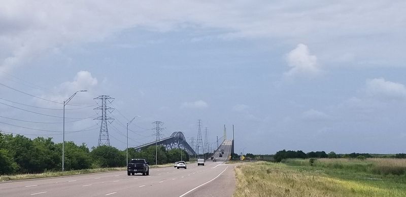
The project engineer, G. G. Wickline, used innovative techniques to design a bridge that would cross 7,742 feet of marshy terrain and river bottom. The bridge's 680-foot central span, designed to clear a Navy ship carrying a moored dirigible, was, at 176 feet, the world's highest elevated roadbed over tidal waters. The final cost of the bridge was $2,750,000. Its dedication on September 8, 1938, drew huge crowds and was a major local event. In a 1957 contest sponsored by the North Port Arthur Lions Club, it was named "Rainbow Bridge."
Erected 1990 by Texas Historical Commission. (Marker Number 10555.)
Topics. This historical marker is listed
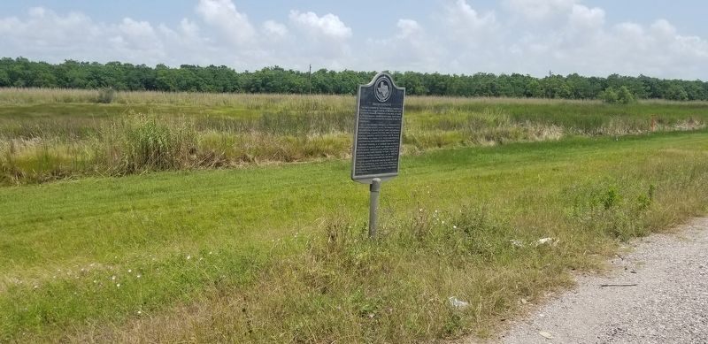
Location. 29° 57.741′ N, 93° 52.416′ W. Marker is in Port Arthur, Texas, in Jefferson County. Marker is on Gulfway Drive (State Highway 73/87) 0.3 miles 87, on the right when traveling east. Located about ¼ mile from where highway 87 merges with Highway 73. Touch for map. Marker is in this post office area: Port Arthur TX 77642, United States of America. Touch for directions.
Other nearby markers. At least 8 other markers are within walking distance of this marker. Merchant Marine Memorial (approx. 0.7 miles away); Women's Peacetime and Wartime Service (approx. 0.7 miles away); Spanish-American War (approx. 0.7 miles away); The Four Chaplains (approx. 0.7 miles away); 143rd Infantry Regiment (approx. 0.7 miles away); Thirty Sixth Infantry Division (approx. 0.7 miles away); World War II 36th Division Support Troops (approx. 0.7 miles away); 111th Combat Engineers (approx. 0.7 miles away). Touch for a list and map of all markers in Port Arthur.
Credits. This page was last revised on May 23, 2020. It was originally submitted on May 23, 2020, by Cajun Scrambler of Assumption, Louisiana. This page has been viewed 200 times since then and 32 times this year. Photos: 1, 2, 3. submitted on May 23, 2020, by Cajun Scrambler of Assumption, Louisiana.


