Marker Logo HMdb.org THE HISTORICAL
MARKER DATABASE
“Bite-Size Bits of Local, National, and Global History”
Mercer in Somerset County, Maine — The American Northeast (New England)
 

Mercer Grist Mill


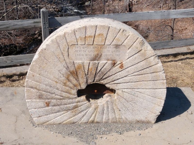
Mercer Grist Mill Marker image. Click for full size.
Photographed By David Jackson, April 25, 2020
1. Mercer Grist Mill Marker
Inscription. This wheel was used in the Mercer Grist Mill to grind grain into flour during the 1800's
 
Topics. This historical marker is listed in this topic list: Industry & Commerce.
 
Location. 44° 40.663′ N, 69° 56.238′ W. Marker is in Mercer, Maine, in Somerset County. Marker is on Main Street, 0.4 miles west of U.S. 2, on the right when traveling west. Touch for map. Marker is in this post office area: Norridgewock ME 04957, United States of America. Touch for directions.
 
Paid Advertisement
Click on the ad for more information.
Please report objectionable advertising to the Editor.
Click or scan to see
this page online
Mercer Grist Mill Marker image. Click for full size.
Photographed By David Jackson, April 25, 2020
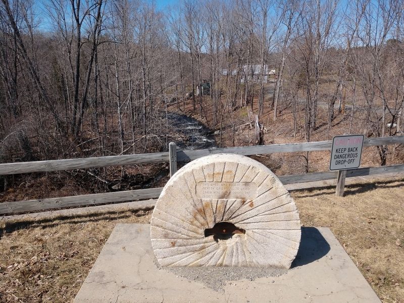
2. Mercer Grist Mill Marker
Marker with view of Bog Stream Behind it.
Mercer Grist Mill Marker image. Click for full size.
Photographed By David Jackson, April 25, 2020
3. Mercer Grist Mill Marker
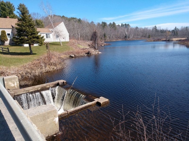
View of Mercer Bog and the water drop into Bog Stream.
 
 
Credits. This page was last revised on May 27, 2020. It was originally submitted on May 23, 2020, by David Jackson of Smithfield, Maine. This page has been viewed 162 times since then and 10 times this year. Photos:   1, 2, 3. submitted on May 23, 2020, by David Jackson of Smithfield, Maine. • Michael Herrick was the editor who published this page.
Share this page.  
Share on Tumblr
m=150346

CeraNet Cloud Computing sponsors the Historical Marker Database.
This website earns income from purchases you make after using our links to Amazon.com. We appreciate your support.
Paid Advertisement
Apr. 23, 2024