Near Bertram in Burnet County, Texas — The American South (West South Central)
Joppa Iron Truss Bridge
Photographed by Keith Peterson, May 23, 2020
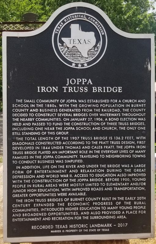
1. Joppa Iron Truss Bridge Marker
The small community of Joppa was established for a church and school in the 1880s. With the growing population in Burnet County and business generated from railroad. The county decided to construct several bridges over waterways throughout the nearby communities. On January 17, 1906, a bond election was held and passed to fund the construction of three truss bridges, including one near the Joppa school and church, the only one still standing of the group.
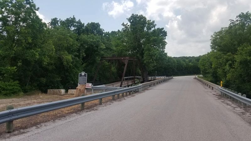
The total length of the 1907 truss bridge is 136.2 feet, with diagonals constructed according to the Pratt truss design, first developed in 1844 under Thomas and Caleb Pratt. The Joppa iron truss bridge played an important role in the everyday lives of many families in the Joppa Community. Traveling to neighboring towns to conduct business was simplified.
In addition, life on the river and under the bridge was a large form of entertainment and relaxation during the Great Depression and World War II. Access to education also improved with the construction of the Joppa bridge. Before 1900, young people in rural areas were mostly limited to elementary and/or junior high education. With improved roads and transportation, greater opportunities were available.
The iron truss bridge of Burnet County built in the early 20th century expanded the economic progress of the rural communities, introduced higher education to many young people and broadened opportunities, and also provided a place for entertainment and recreation for the surrounding area.
Recorded Texas Historic Landmark - 2017
Marker is property of the State of Texas
Erected 2017 by Texas Historical Commission. (Marker Number 18764.)
Topics. This historical marker is listed in this topic list: Bridges & Viaducts. A significant historical year for this entry is 1907.
Location. 30° 49.487′ N, 98° 1.927′ W.
this page online

Regionally, this marker is in the Hill Country. It is also in the American South. Globally, it is in North America, a Gulf of Mexico state, the Western Hemisphere, the Western World, and the Anglosphere. Historically, it finds itself in what was once New Spain, the Republic of Texas, and one of the Confederate States of America.
Other nearby markers. At least 8 other markers are within 6 miles of this marker, measured as the crow flies: Joppa Community (within shouting distance of this marker); Russell Fork Iron Truss Bridge (approx. 1.1 miles away); Shady Grove Community (approx. 3.1 miles away); Black's Fort (approx. 3.2 miles away); Site of Town of Strickling (approx. 4.2 miles away); Bertram School (approx. 5½ miles away); Bertram (approx. 5.7 miles away); Mount Horeb Lodge (approx. 5.7 miles away). Touch for a list and map of all markers in Bertram.
Related marker.
Photographed by Keith Peterson, May 23, 2020
2. Joppa Iron Truss Bridge and Marker
Photographed by Keith Peterson, May 23, 2020
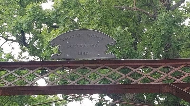
3. Joppa Iron Truss Bridge's Manufacturer Plaque
William Dayson Contractor 1907
Credits. This page was last revised on November 17, 2025. It was originally submitted on May 24, 2020, by Keith Peterson of Cedar Park, Texas. This page has been viewed 1,336 times since then and 82 times this year. Photos: 1, 2, 3. submitted on May 24, 2020, by Keith Peterson of Cedar Park, Texas. • J. Makali Bruton was the editor who published this page.
