Monteagle in Grundy County, Tennessee — The American South (East South Central)
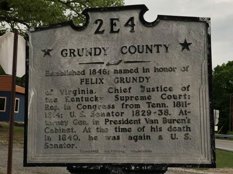
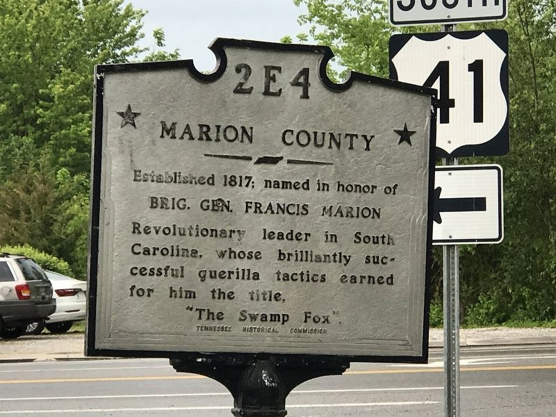
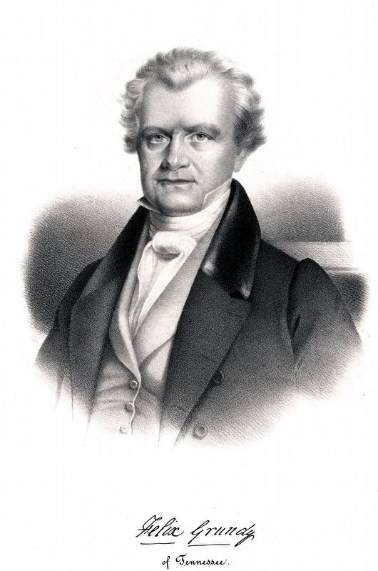
Grundy County / Marion County
Erected by Tennessee Historical Commission. (Marker Number 2 E 4.)
Topics and series. This historical marker is listed in these topic lists: Government & Politics • Political Subdivisions • War, US Revolutionary. In addition, it is included in the Former U.S. Presidents: #08 Martin Van Buren, and the Tennessee Historical Commission series lists. A significant historical year for this entry is 1817.
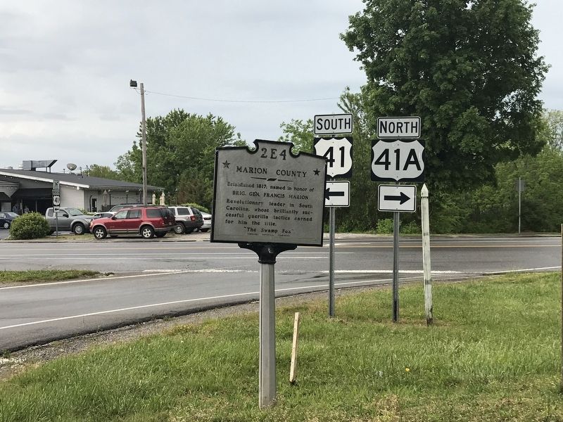
Location. 35° 14.478′ N, 85° 50.514′ W. Marker is in Monteagle, Tennessee, in Grundy County. Marker is at the intersection of West College Street (U.S. 41) and West Main Street (U.S. 41A), on the right when traveling south on West College Street. Touch for map. Marker is at or near this postal address: 50 W College St, Monteagle TN 37356, United States of America. Touch for directions.
Other nearby markers. At least 8 other markers are within one mile of this marker, measured as the crow flies. Monteagle Sunday School Assembly (approx. ¼ mile away); The Amphitheater (approx. 0.3 miles away); The Dawn Redwood of Monteagle (approx. half a mile away); Tullahoma Campaign (approx. 0.7 miles away); Trail of Tears (approx. ¾ mile away); RyeMabee 1930 (approx. ¾ mile away); Crossroads of War (approx. 0.9 miles away); Struggling Through the Mountains (approx. 1.1 miles away). Touch for a list and map of all markers in Monteagle.
Credits. This page was last revised on January 24, 2024. It was originally submitted on May 25, 2020, by Duane and Tracy Marsteller of Murfreesboro, Tennessee. This page has been viewed 175 times since then and 27 times this year. Photos: 1, 2, 3. submitted on May 25, 2020, by Duane and Tracy Marsteller of Murfreesboro, Tennessee. 4, 5. submitted on January 24, 2024, by Allen C. Browne of Silver Spring, Maryland. • Devry Becker Jones was the editor who published this page.
