Islamorada in Monroe County, Florida — The American South (South Atlantic)
Islamorada Baptist Church
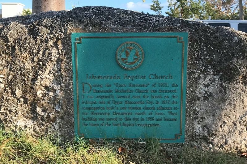
Photographed by Tim Fillmon, December 31, 1903
1. Islamorada Baptist Church Marker
Erected by Matecumbe Historical Trust.
Topics. This historical marker is listed in this topic list: Religion & Religious Structures. A significant historical year for this entry is 1937.
Location. 24° 54.702′ N, 80° 38.539′ W. Marker is in Islamorada, Florida, in Monroe County. It is on Overseas Highway (U.S. 1) north of Parker Drive, on the right when traveling north. Touch for map. Marker is at or near this postal address: 81201 Overseas Highway, Islamorada FL 33036, United States of America. Touch for directions.

Regionally, this marker is on the Florida Keys. It is also in the American South and on the Gulf Coast. Globally, it is in the North Atlantic Region, North America, a Gulf of Mexico state, the Western Hemisphere, the Western World,
this page online
Other nearby markers. At least 8 other markers are within walking distance of this marker: Green Turtle Inn (about 400 feet away, measured in a direct line); 1935 Labor Day Hurricane (approx. 0.2 miles away); Early Life In The Florida Keys (approx. 0.2 miles away); The History of the Russell Cottage (approx. 0.2 miles away); Hurricane Houses (approx. half a mile away); The Sweeting House (approx. half a mile away); Helen Wadley Branch Library (approx. half a mile away); The Florida Keys Memorial (approx. half a mile away). Touch for a list and map of all markers in Islamorada.
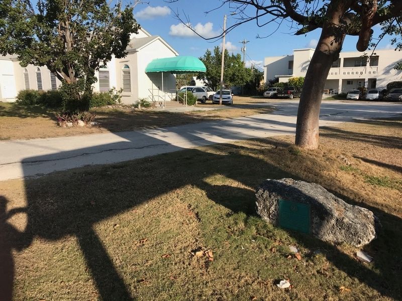
Photographed by Tim Fillmon
2. Islamorada Baptist Church Marker
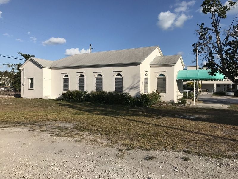
Photographed by Tim Fillmon, March 6, 2018
3. Islamorada Baptist Church
Credits. This page was last revised on May 27, 2020. It was originally submitted on May 25, 2020, by Tim Fillmon of Webster, Florida. This page has been viewed 293 times since then and 26 times this year. Photos: 1, 2, 3. submitted on May 25, 2020, by Tim Fillmon of Webster, Florida. • Bernard Fisher was the editor who published this page.
