Tybee Island in Chatham County, Georgia — The American South (South Atlantic)
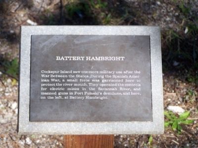
Battery Hambright
Erected by National Park Service.
Topics. This historical marker is listed in these topic lists: Military • Notable Places • War, Spanish-American.
Location. 32° 1.803′ N, 80° 53.555′ W. Marker is on Tybee Island, Georgia, in Chatham County. Islands Expressway (U.S. 80), left when traveling east. Located at Fort Pulaski park. Touch for map. Marker is in this post office area: Tybee Island GA 31328, United States of America. Touch for directions.
Other nearby markers. At least 8 other markers are within walking distance of this marker. John Wesley Landing Site (about 300 feet away, measured in a direct line); North Pier Trail (about 600 feet away); John Wesley (approx. 0.2 miles away); Cockspur Island Lighthouse (approx. 0.2 miles away); A Bustling Village (approx. 0.2 miles away); The Waving Girl (approx. 0.2 miles away); Cisterns of the Construction Village (approx. 0.2 miles away); Burial Sites of Immortal 600 (approx. 0.2 miles away). Touch for a list and map of all markers in Tybee Island.
More about this marker. North Pier Trail:
This trail guides visitors through a scenic wooded environment and passes through remnants of Fort Pulaski's original construction village. Battery Hambright, built in the late 19th Century, and the historic north pier highlight this 1/4 mile trail.
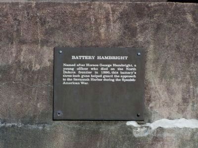
Regarding Battery Hambright. Horace George Hambright was the West Point "Goat" of 1893. Graduating last in his class.
Photographed By Mike Stroud, January 27, 2008
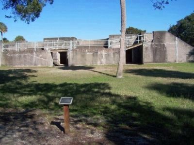
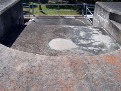
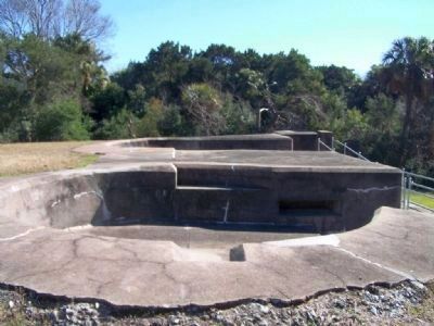
4. Battery Hambright -The battery held two emplacements for three-inch rapid-fire guns.
Battery Hambright, was part of the Fort Screven coastal fortification system intended to protect Savannah shipping lanes in anticipation of hostilities from Spain, which had a stronghold in its colony of Cuba. The battery, located inside a large protective mound of dirt, is one of six built for Fort Screven, and the only one on Cockspur Island. Construction started in June of 1899 after the Spanish-American War had ended, and the battery consisted of two 3-inch rapid-fire gun placements.
Stretching across the Savannah River from the battery was a submarine minefield. It was electronically controlled by a mining casemate built in 1895 and located under a mound of earth near Fort Pulaski. The mines were anchored to the bottom of the river, but floating above them was a buoy. When passing ships struck the buoy, an electronic signal was sent to the casemate. The two or three men working in the casemate would determine if the ship was friend or foe. If the ship was an enemy, more than 500 pounds of explosives could be detonated.
Credits. This page was last revised on December 14, 2020. It was originally submitted on January 5, 2009, by Mike Stroud of Bluffton, South Carolina. This page has been viewed 1,559 times since then and 42 times this year. Photos: 1, 2, 3, 4, 5. submitted on January 5, 2009, by Mike Stroud of Bluffton, South Carolina. • Craig Swain was the editor who published this page.
