White Sands Proving Grounds in Socorro County, New Mexico — The American Mountains (Southwest)
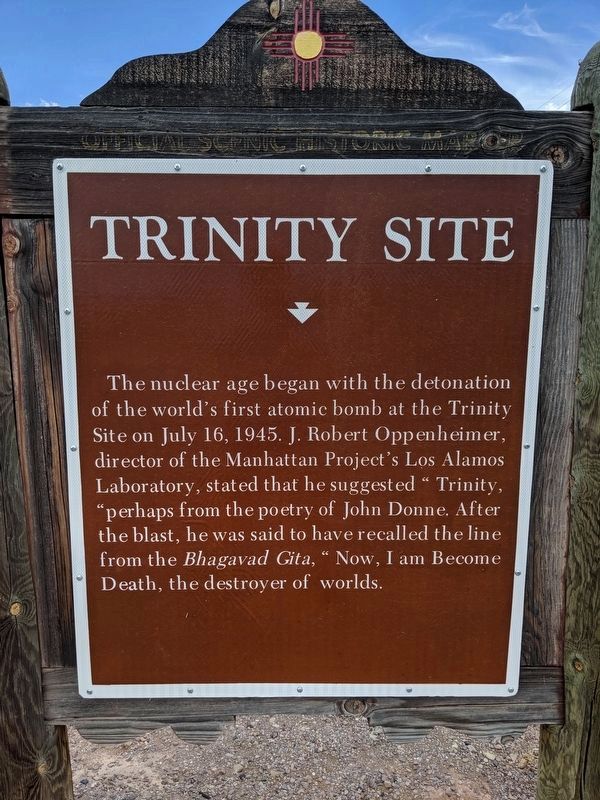
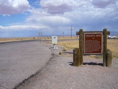
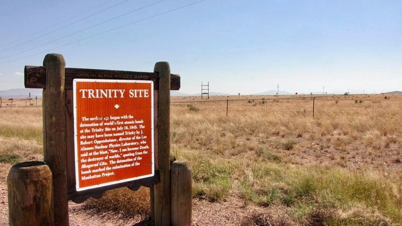
Trinity Site
Topics. This historical marker is listed in these topic lists: Science & Medicine • War, World II. A significant historical month for this entry is July 1945.
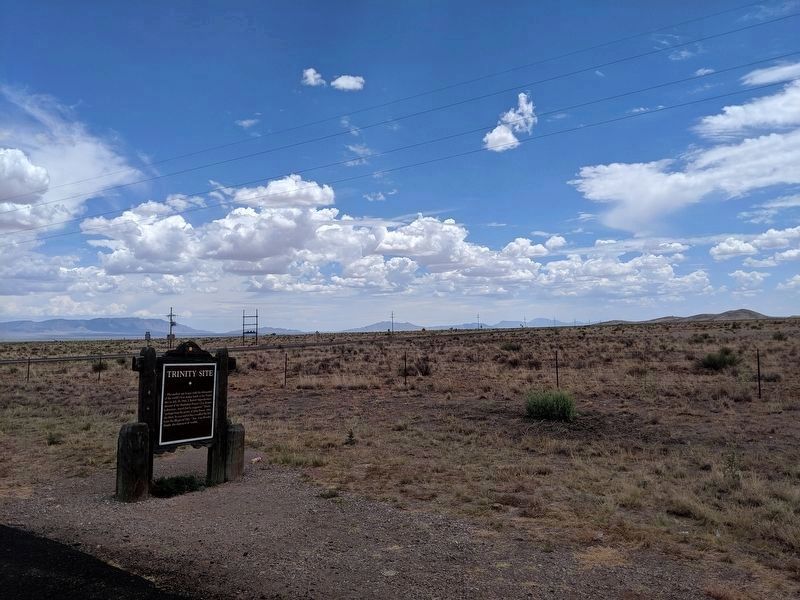
Location. 33° 53.067′ N, 106° 40.3′ W. Marker is in White Sands Proving Grounds, New Mexico, in Socorro County. Marker is on U.S. 380 near WSMR P Route 7 (State Road 525). Touch for map. Marker is in this post office area: San Antonio NM 87832, United States of America. Touch for directions.
Other nearby markers. At least 3 other markers are within 12 miles of this marker, measured as the crow flies. Carthage-Tokay-Farley (approx. 3.1 miles away); San Pedro (approx. 10.2 miles away); San Antonio (approx. 11.8 miles away).
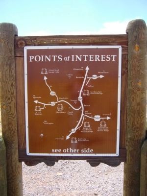
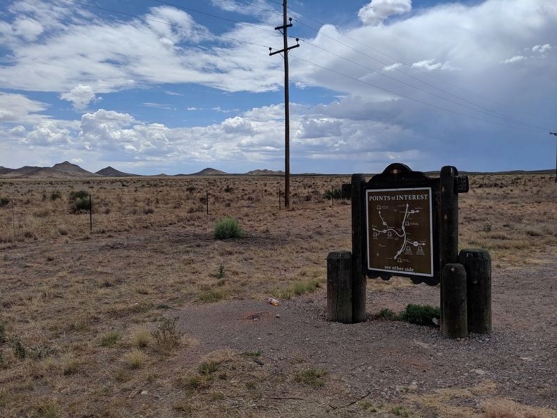
More about this marker. A newer marker has been placed with updated wording. Back side with map has not changed.
Additional commentary.
1. Trinity Site
The first atomic bomb was tested at 5:29:45 A.M. Mountain War Time on July 16, 1945. It was a 19 kiloton explosion that ended the war in the Pacific but also brought the world into the atomic age. The explosion took up a 51,500 acre area. The site is now a Historical and National Landmark, and is on what is now White Sand Missile Range. It is open to the public twice a year.
— Submitted October 24, 2012.
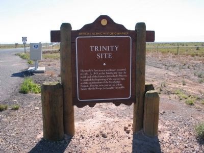
2004
2. Previous Trinity Site Marker
The world's first atomic explosion occurred on July 16, 1945, at the Trinity Site near the north end of the historic Jornada del Muerto. It marked the beginning of the nuclear age, and the culmination of the Manhattan Project. The site, now part of the White Sands Missile Range, is closed to the public.
Credits. This page was last revised on December 18, 2020. It was originally submitted on January 5, 2009, by Kevin W. of Stafford, Virginia. This page has been viewed 5,129 times since then and 235 times this year. Photos: 1. submitted on December 18, 2020, by Mike Wintermantel of Pittsburgh, Pennsylvania. 2. submitted on January 5, 2009, by Kevin W. of Stafford, Virginia. 3. submitted on July 28, 2011, by Bill Kirchner of Tucson, Arizona. 4, 5. submitted on December 18, 2020, by Mike Wintermantel of Pittsburgh, Pennsylvania. 6. submitted on July 28, 2011, by Bill Kirchner of Tucson, Arizona. 7. submitted on November 18, 2020, by Mark Hilton of Montgomery, Alabama.
