Near Cookeville in Jackson County, Tennessee — The American South (East South Central)
Spring Creek Baptist Church
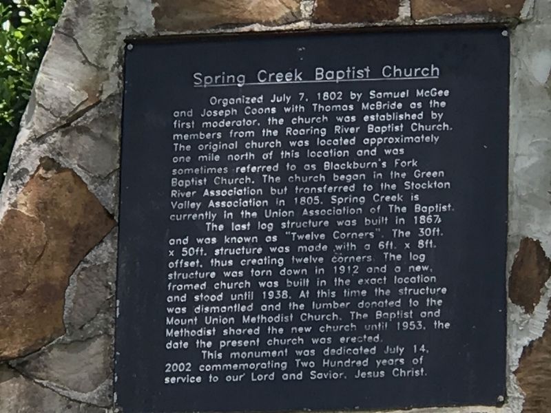
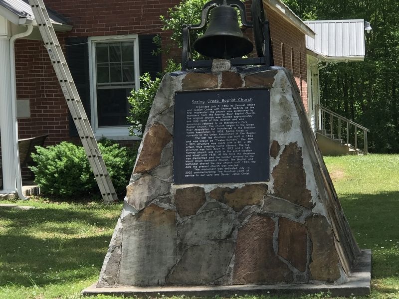
Organized July 7, 1802 by Samuel McGee and Joseph Coons with Thomas McBride as the first moderator, the church was established by members of the Roaring River Baptist Church. The original church was located approximately one mile north of this location and was sometimes referred to as Blackburn's Fork Baptist Church. The church began in the Green River Association but transferred to the Stockton Valley Association in 1805. Spring Creek is currently in the Union Association of The Baptist.
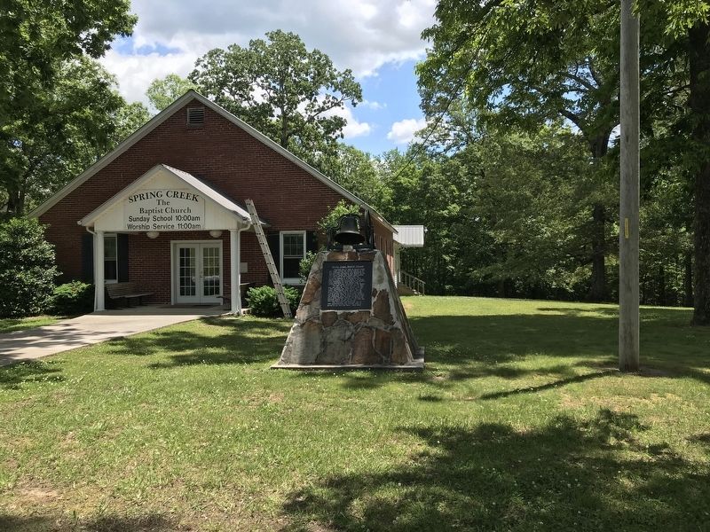
The last log structure was built in 1867, and was known as “Twelve Corners”. The 30ft. x 50ft. structure was made with a 6ft. x 8ft. offset, thus creating twelve corners. The log structure was torn down in 1912 and a new, framed church was built in the exact location and stood until 1938. At this time the structure was dismantled and the lumber donated to the Mount Union Methodist Church. The Baptist and Methodist shared the new church until 1953, the date the present church was erected.
This monument was dedicated July 14, 2002 commemorating Two Hundred years of service to our Lord and Savior, Jesus Christ.
Erected 2002 by Spring Creek Baptist Church.
Topics. This historical marker is listed in this topic list: Churches & Religion. A significant historical date for this entry is July 7, 1802.
Location. 36° 16.011′ N, 85° 31.413′ W. Marker is near Cookeville, Tennessee, in Jackson County. Marker is at the intersection of Dodson Branch Highway (State Highway 135) and South Smith Chapel Road, on the right when traveling north on Dodson Branch Highway. Touch for map. Marker is at or near this postal address: 17781 Dodson Branch Highway, Cookeville TN 38501, United States of America. Touch for directions.
Other nearby markers. At least 8 other markers are within 8 miles of this marker, measured as the crow flies. Twelve Corner Church (approx. one mile away); Cummins Falls (approx. 2.6 miles away); Old Shipley Barn (approx. 5.1 miles away); Walton Road - Old Burnt Stand (approx. 6.2 miles away); Dixie College (approx. 6˝ miles away); Civil War In Putnam County (approx. 7.1 miles away); Tennessee Central Depot (approx. 7.1 miles away); Town Spring (approx. 7.2 miles away). Touch for a list and map of all markers in Cookeville.
Related markers. Click here for a list of markers that are related to this marker.
Credits. This page was last revised on May 31, 2020. It was originally submitted on May 31, 2020, by Duane and Tracy Marsteller of Murfreesboro, Tennessee. This page has been viewed 401 times since then and 47 times this year. Photos: 1, 2, 3. submitted on May 31, 2020, by Duane and Tracy Marsteller of Murfreesboro, Tennessee. • Devry Becker Jones was the editor who published this page.


