Coconut Grove in Miami-Dade County, Florida — The American South (South Atlantic)
E.W.F. Stirrup House
Photographed by Tim Fillmon, January 24, 2018
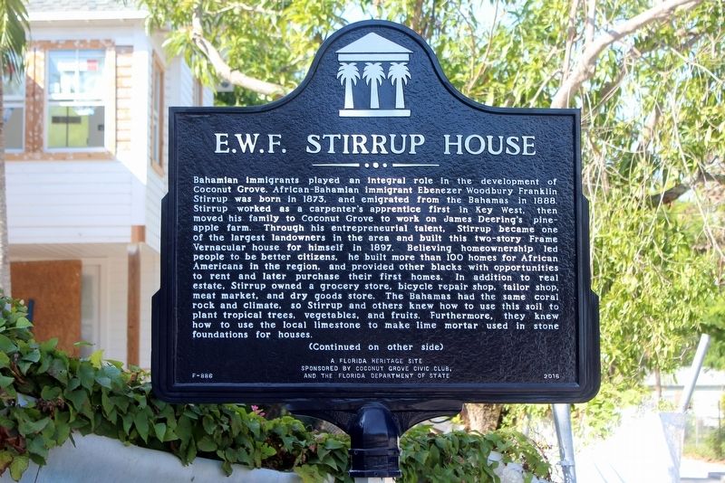
1. E.W.F. Stirrup House Marker Side 1
Bahamian immigrants played an integral role in the development of Coconut Grove. African-Bahamian immigrant Ebenezer Woodbury Franklin Stirrup was born in 1873, and emigrated from the Bahamas in 1888. Stirrup worked as a carpenter’s apprentice first in Key West, then moved his family to Coconut Grove to work on James Deering’s pineapple farm. Through his entrepreneurial talent, Stirrup became one of the largest landowners in the area and built this two-story Frame Vernacular house for himself in 1897. Believing homeownership led people to be better citizens, he built more than 100 homes for African Americans in the region, and provided other blacks with opportunities to rent and later purchase their first homes. In addition to real estate, Stirrup owned a grocery store, bicycle repair shop, tailor shop, meat market, and dry goods store. The Bahamas had the same coral rock and climate, so Stirrup and others knew how to use this soil to plant tropical trees, vegetables, and fruits. Furthermore, they knew how to use the local limestone to make lime mortar used in stone foundations for houses.
this page online
Erected 2016 by Coconut Grove Civic Club and the Florida Department of State. (Marker Number F-886.)
Topics. This historical marker is listed in these topic lists: Architecture • Settlements & Settlers. A significant historical year for this entry is 1897.
Location. 25° 43.537′ N, 80° 14.715′ W. Marker is
Photographed by Tim Fillmon, January 24, 2018
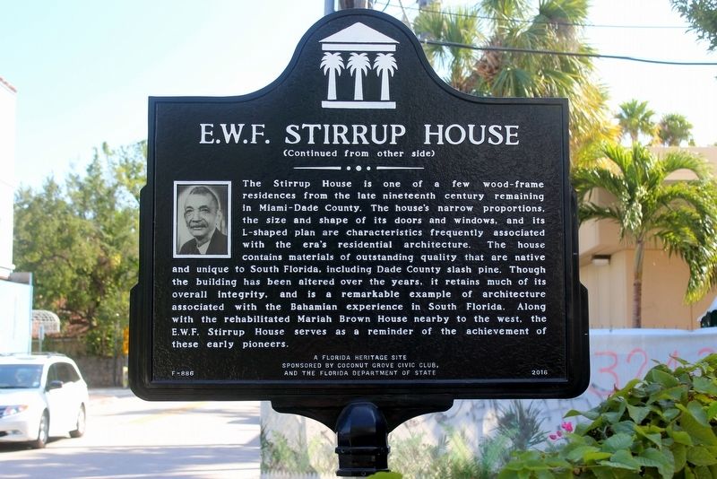
2. E.W.F. Stirrup House Marker Side 2

Regionally, this marker is in South Florida, on the Gold Coast, and in Greater Miami. It is also in the American South and on the Eastern Seaboard. Globally, it is in the North Atlantic Region, North America, a Gulf of Mexico state, the Western Hemisphere, the Western World, and the Anglosphere. Historically, it finds itself in what was once New Spain, the territory of the Mississippian Culture, one of the Confederate States of America, and the Antebellum South.
Other nearby markers. At least 8 other markers are within walking distance of this marker: Charles Avenue (a few steps from this marker); Tea Chest / Ralph Munroe (within shouting distance of this marker); Coconut Grove Playhouse (within shouting distance of this marker); Mariah Brown House (about 300 feet away, measured in a direct line); Ransom School (about 500 feet away); The Barnacle (approx.
Photographed by Tim Fillmon, January 24, 2018
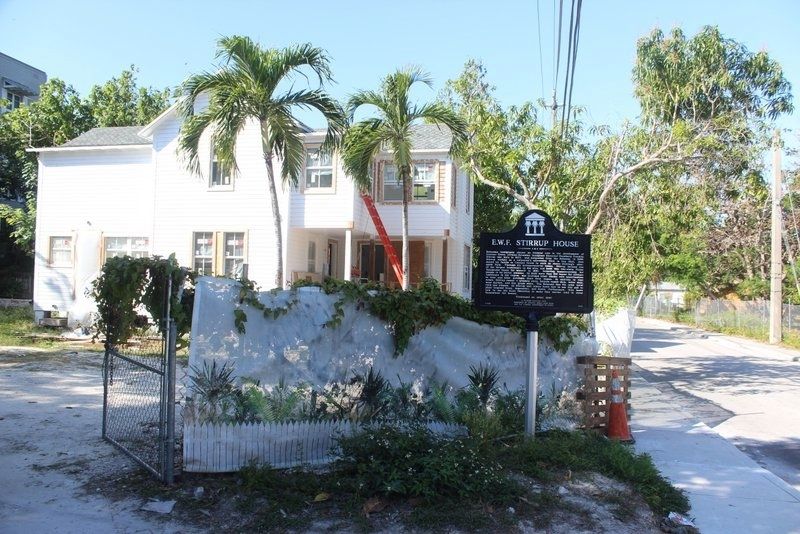
3. E.W.F. Stirrup House and Marker
Photographed by Tim Fillmon, January 24, 2018
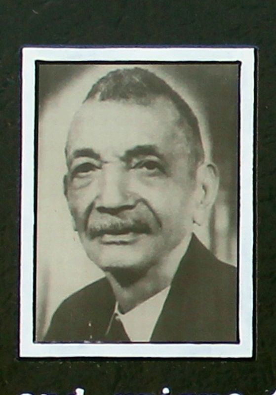
4. E.W.F. Stirrup
Credits. This page was last revised on March 21, 2023. It was originally submitted on May 31, 2020, by Tim Fillmon of Webster, Florida. This page has been viewed 1,523 times since then and 118 times this year. Photos: 1, 2, 3, 4. submitted on May 31, 2020, by Tim Fillmon of Webster, Florida. • Bernard Fisher was the editor who published this page.
