Original Town Mesquite in Dallas County, Texas — The American South (West South Central)
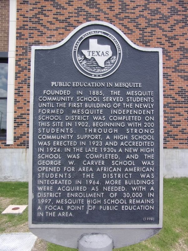
Public Education in Mesquite
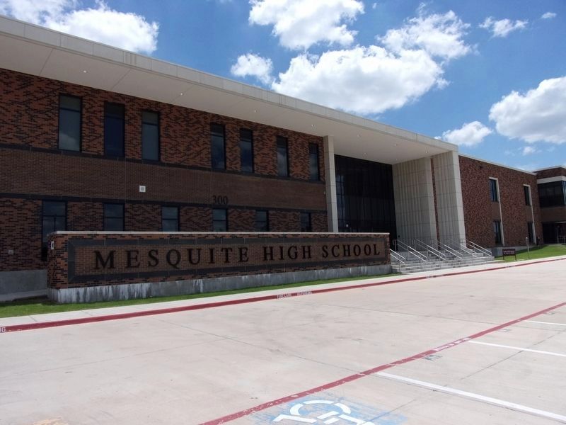
Founded in 1885, the Mesquite community school served students until the first building of the newly formed Mesquite Independent School District was completed on this site in 1902, beginning with 200 students. Through strong community support, a high school was erected in 1923 and accredited in 1924. In the late 1930s a new high school was completed, and the George W. Carver School was opened for area African American students. The district was integrated in 1964. More buildings were acquired as needed. With a district enrollment of 30,000 in 1997, Mesquite High School remains a focal point of public education in the area.
Erected 1998 by Texas Historical Commission. (Marker Number 11836.)
Topics. This historical marker is listed in this topic list: Education.
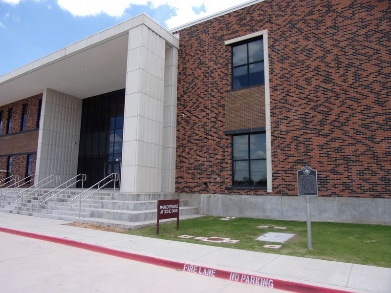
Location. 32° 45.897′ N, 96° 35.807′ W. Marker is in Mesquite, Texas, in Dallas County. It is in Original Town Mesquite. Marker is on South Bryan Belt Line Road, on the right when traveling north. The marker is facing South Bryan Belt Line Road. Touch for map. Marker is at or near this postal address: 300 E Davis Street, Mesquite TX 75149, United States of America. Touch for directions.
Other nearby markers. At least 8 other markers are within walking distance of this marker. City Lake Park (approx. ¼ mile away); City of Mesquite (approx. ¼ mile away); Sam Bass Train Robbery (approx. 0.3 miles away); Holley-McWhorter-Greenhaw Families (approx. 0.3 miles away); CCC Company 850 (approx. 0.3 miles away); First Methodist Church of Mesquite (approx. 0.3 miles away); Mesquite Cemetery (approx. 0.4 miles away); Lawrence Farmstead (approx. half a mile away). Touch for a list and map of all markers in Mesquite.
Credits. This page was last revised on February 2, 2023. It was originally submitted on June 1, 2020, by Kayla Harper of Dallas, Texas. This page has been viewed 221 times since then and 41 times this year. Photos: 1, 2, 3. submitted on June 1, 2020, by Kayla Harper of Dallas, Texas. • J. Makali Bruton was the editor who published this page.


