Gatineau in Communauté-Urbaine-de-l'Outaouais, Québec — Central Canada (French-Canadian)
Le Boulevard de la Confédération / Confederation Boulevard
Inscription.
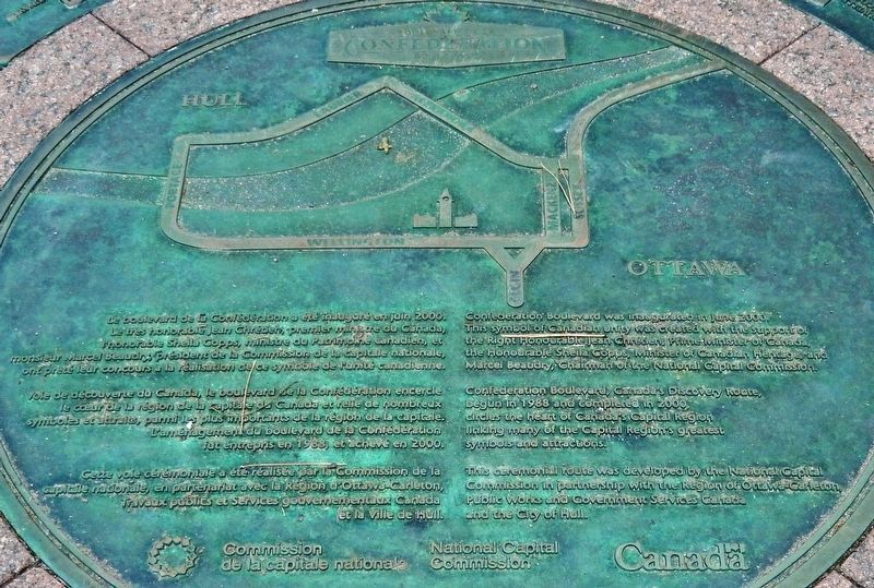
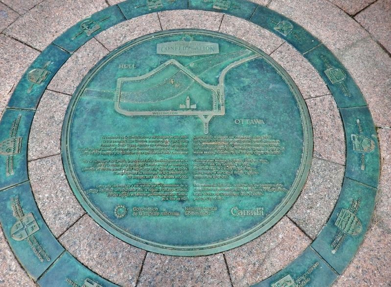
Le boulevard de la Confédération a été inauguré en juin 2000. Le très honorable Jean Chrétien, premier ministre du Canada, l’honorable Sheila Copps, ministre du Patrimoine canadien, et monsieur Marcel Beaudry, président de la Commission de la capitale nationale, ont prêté leur concours à réalisation de ce symbole de l’unité canadienne.
Voie de découverte du Canada, le boulevard de la Confédération encercle le cœur de la région de la capitale du Canada et relie de nombreux symboles et attraits, parmi les plus importants de la région de la capitale. L’aménagement du boulevard de la Confédération fut entrepris en 1988, et achevé en 2000.
Cette route cérémonielle a été réalisée par la Commission de la capitale nationale, en partenariat avec la région d’Ottawa-Carleton, Travaux publics et Services gouvernementaux Canada et la Ville de Hull.
Confederation Boulevard was inaugurated in June 2000. This symbol of Canadian unity was created with the support of the Right Honourable Jean Chrétien, Prime Minister of Canada, the Honourable Sheila Copps, Minister of Canadian Heritage, and Marcel Beaudry, Chairman of the National Capital Commission.
Confederation Boulevard, Canada’s Discovery Route, begun in 1988 and completed in 2000, circles the heart of Canada’s Capital Region linking many of the Capital Region’s greatest symbols and attractions.
This ceremonial route was developed by the National Capital Commission in partnership with the Region of Ottawa-Carleton, Public Works and Government Services Canada and the City of Hull.
Erected by Commission de la capitale nationale / National Capital Commission.
Topics. This historical marker is listed in this topic list: Roads & Vehicles. A significant historical month for this entry is June 2000.
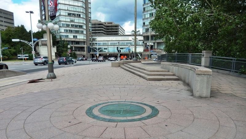
Location. 45° 25.449′ N, 75° 42.833′ W. Marker is in Gatineau, Québec, in Communauté-Urbaine-de-l'Outaouais. Marker is on Portage Bridge (Boulevard Maisonneuve) just south of Rue Laurier, on the right when traveling north. Marker is embedded in the walkway along the east side of Portage Bridge (Boulevard Maisonneuve). Touch for map. Marker is in this post office area: Gatineau QC J8X, Canada. Touch for directions.
Other nearby markers. At least 8 other markers are within walking distance of this marker. Canada's Discovery Route / La voie de la découverte du Canada (here, next to this marker); La Place du Portage / Place du Portage (within shouting distance of this marker); L’aménagement de la région de la capitale / Building a Capital Region
(about 150 meters away, measured in a direct line); Royal Canadian Naval Monument / Monument De La Marine Royale Canadienne (approx. half a kilometer away in Ontario); The Capital's Forest Heritage / Le patrimoine forestier de la capitale (approx. half a kilometer away in Ontario); La Tour de Lessivage / The Digester Tower (approx. 0.6 kilometers away); Le Parlement du Canada / Canada's Parliament (approx. 0.8 kilometers away); Veterans Charter / La Charte des Anciens Combattants (approx. 0.8 kilometers away in Ontario). Touch for a list and map of all markers in Gatineau.
Also see . . .
1. Confederation Boulevard. Confederation Boulevard is the NCC’s flagship urban development project of the past several decades. In collaboration with federal and municipal partners, the NCC designed and constructed this route around the heart of Canada’s Capital Region. Aside from providing an elegant streetscape for some of the nation’s most important sites and institutions, the Boulevard is often a focus for national celebrations. (Submitted on June 6, 2020, by Cosmos Mariner of Cape Canaveral, Florida.)
2. Confederation Boulevard (Wikipedia)
. Confederation Boulevard is a "ceremonial and discovery route" in Canada's National Capital Region, running through Parliament Hill and encompassing downtown areas in Ottawa and Gatineau. Some of Canada's most important institutions and landmarks lie along its route. During state visits, Confederation Boulevard is toured by foreign dignitaries. (Submitted on June 6, 2020, by Cosmos Mariner of Cape Canaveral, Florida.)
Credits. This page was last revised on January 23, 2022. It was originally submitted on June 5, 2020, by Cosmos Mariner of Cape Canaveral, Florida. This page has been viewed 179 times since then and 21 times this year. Photos: 1, 2, 3. submitted on June 6, 2020, by Cosmos Mariner of Cape Canaveral, Florida.


