Near Chapel Hill in Marshall County, Tennessee — The American South (East South Central)
Marshall County
⎯⎯⎯
Williamson County
Photographed by Duane and Tracy Marsteller, June 6, 2020
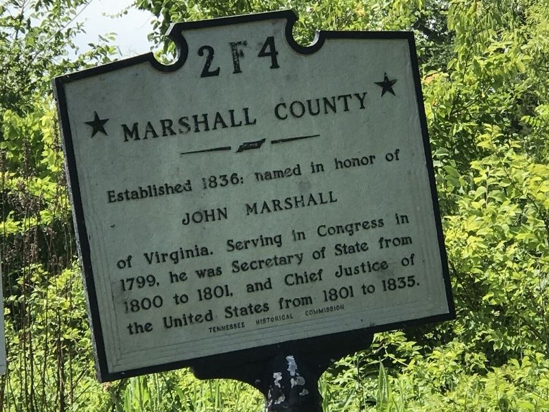
1. Marshall County / Williamson County Marker
North side of marker
Marshall County. Established 1836: named in honor of John Marshall of Virginia. Serving in Congress in 1799, he was Secretary of State from 1800 to 1801, and Chief Justice of the United States from 1801 to 1835.
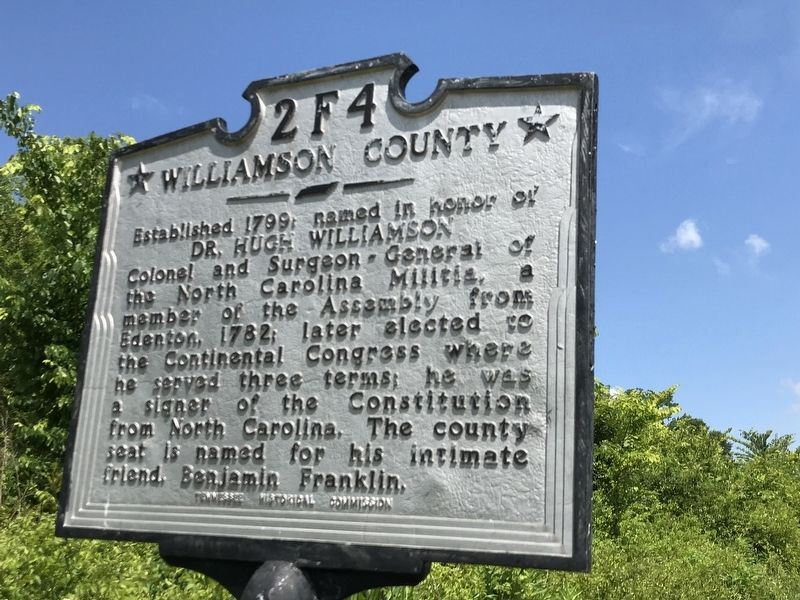
Williamson County. Established 1799; named in honor of Dr. Hugh Williamson Colonel and Surgeon-General of the North Carolina Militia, a member of the Assembly from Edenton, 1782; later elected to the Continental Congress where he served three terms; he was a signer of the Constitution from North Carolina. The county seat is named for his intimate friend, Benjamin Franklin.
Erected by Tennessee Historical Commission. (Marker Number 2 F4.)
Topics and series. This historical marker is listed in this topic list: Political Subdivisions. In addition, it is included in the Tennessee Historical Commission series list. A significant historical year for this entry is 1799.
Location. 35° 42.445′ N, 86° 41.812′ W. Marker is near Chapel Hill, Tennessee, in Marshall County. It is on Nashville Highway (Alternate U.S. 31) 0.4 miles south of Flat Creek Road, on the right when traveling south. Touch for map. Marker is in
this page online

Regionally, this marker is in Middle Tennessee and in the Highland Rim. It is also in the American South and specifically in the Upper South. Globally, it is in North America, the Western Hemisphere, the Western World, and the Anglosphere. Historically, it finds itself in what was once the territory of the Mississippian Culture, one of the Confederate States of America, and the Antebellum South.
Other nearby markers. At least 8 other markers are within 5 miles of this marker, measured as the crow flies: Riggs Cross Roads (approx. 0.4 miles away); In Memory of Gideon Riggs 1790-1871 (approx. 0.4 miles away); Edwards Grove Church (approx. 2.8 miles away); Old Reed’s Store (approx. 3.1 miles away); Moses Steele Cemetery (approx. 3½ miles away); Dedicated to the men and women of Eagleville Tennessee that served and supported the Confederacy (approx. 3½ miles away); Eagleville Baptist Church (approx. 3.6 miles away); The Cove (approx. 4.6 miles away).
Photographed by Duane and Tracy Marsteller, June 6, 2020
2. Marshall County / Williamson County Marker
South side of marker
Photographed by Duane and Tracy Marsteller, June 6, 2020
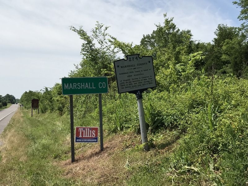
3. Marshall County / Williamson County Marker
Looking southward
Credits. This page was last revised on September 26, 2022. It was originally submitted on June 6, 2020, by Duane and Tracy Marsteller of Murfreesboro, Tennessee. This page has been viewed 457 times since then and 32 times this year. Photos: 1, 2, 3. submitted on June 6, 2020, by Duane and Tracy Marsteller of Murfreesboro, Tennessee. • J. Makali Bruton was the editor who published this page.
