Garden Ridge in Comal County, Texas — The American South (West South Central)
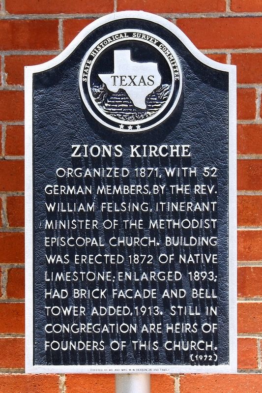
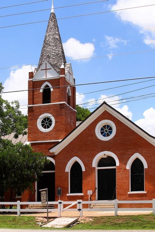
Zions Kirche
Erected 1972 by State Historical Survey Committee. (Marker Number 5962.)
Topics. This historical marker is listed in this topic list: Churches & Religion. A significant historical year for this entry is 1871.
Location. 29° 37.826′ N, 98° 16.464′ W. Marker is in Garden Ridge, Texas, in Comal County. Marker is on Old Nacogdoches Road (Farm to Market Road 2252) 1.1 miles north of Farm to Market Road 3009, on the left when traveling north. Touch for map. Marker is at or near this postal address: 20377 FM 2252, San Antonio TX 78266, United States of America. Touch for directions.
Other nearby markers. At least 8 other markers are within 4 miles of this marker, measured as the crow flies. Kings Highway Camino Real — Old San Antonio Road (approx. one mile away); Schertz Historic Site (approx. 3.2 miles away); Comal Community (approx. 3.2 miles away); Saint Joseph Cemetery (approx. 3.4 miles away); a different marker also named Schertz Historic Site (approx. 3˝ miles away); Davenport Cemetery (approx. 3.7 miles away); a different marker also named Kings Highway Camino Real — Old San Antonio Road (approx. 3.7 miles away); Selma Stage Stop & Post Office (approx. 3.8 miles away).
Credits. This page was last revised on June 7, 2020. It was originally submitted on June 7, 2020, by Larry D. Moore of Del Valle, Texas. This page has been viewed 202 times since then and 16 times this year. Photos: 1, 2. submitted on June 7, 2020, by Larry D. Moore of Del Valle, Texas.

