Dumas in Moore County, Texas — The American South (West South Central)
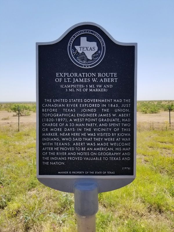
Exploration Route of Lt. James W. Abert
(Campsites: 5 mi. SW and 3 mi. NE of marker)
The United States government had the Canadian River explored in 1845, just before Texas joined the Union. Topographical engineer James W. Abert (1820-1897), a West Point graduate, had charge of a 33-man party, and spent two or more days in the vicinity of this marker. Near here he was visited by Kiowa Indians, who said that they were at war with Texans. Abert was made welcome after he proved to be an American. His map of the river and notes on geography and the Indians proved valuable to Texas and the nation.
Marker is property of the State of Texas
Erected 1976 by Texas Historical Commission. (Marker Number 1517.)
Topics. This historical marker is listed in these topic lists: Exploration • Native Americans.
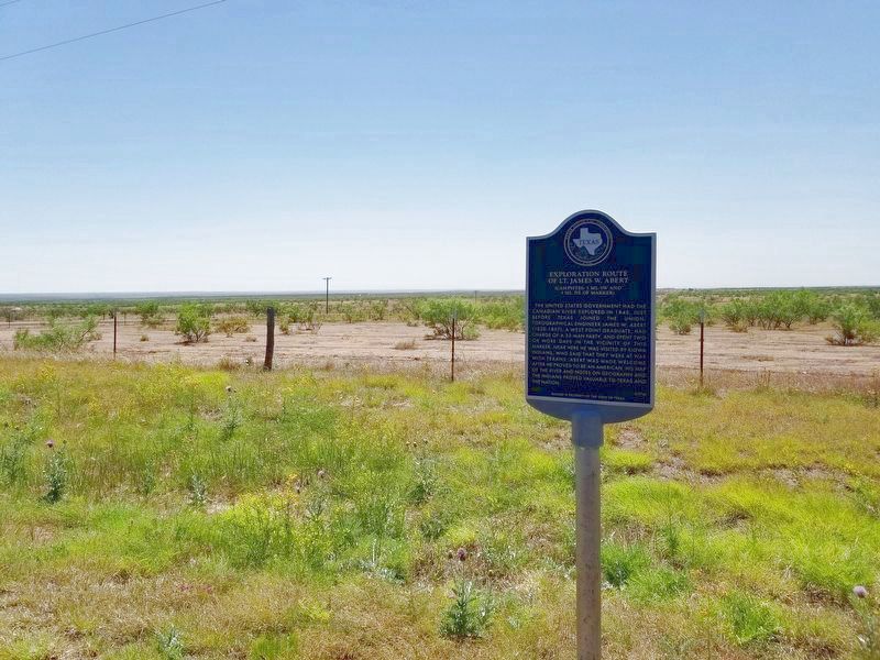
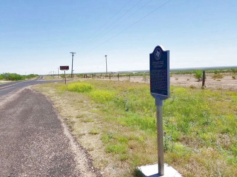
Location. 35° 41.335′ N, 101° 44.686′ W. Marker is in Dumas, Texas, in Moore County. Marker is on FM 1913. The marker is 12.4 miles east of Interstate 87 on FM 1913. Touch for map. Marker is in this post office area: Dumas TX 79029, United States of America. Touch for directions.
Other nearby markers. At least 3 other markers are within 12 miles of this marker, measured as the crow flies. The Canadian River (approx. 9.4 miles away); McBride Ranch House (approx. 10.2 miles away); Route of Tascosa-Dodge City Trail (approx. 11.9 miles away).
Credits. This page was last revised on June 9, 2020. It was originally submitted on June 8, 2020, by Allen Lowrey of Amarillo, Texas. This page has been viewed 280 times since then and 46 times this year. Photos: 1, 2, 3. submitted on June 8, 2020, by Allen Lowrey of Amarillo, Texas. • J. Makali Bruton was the editor who published this page.


