Sunray in Moore County, Texas — The American South (West South Central)
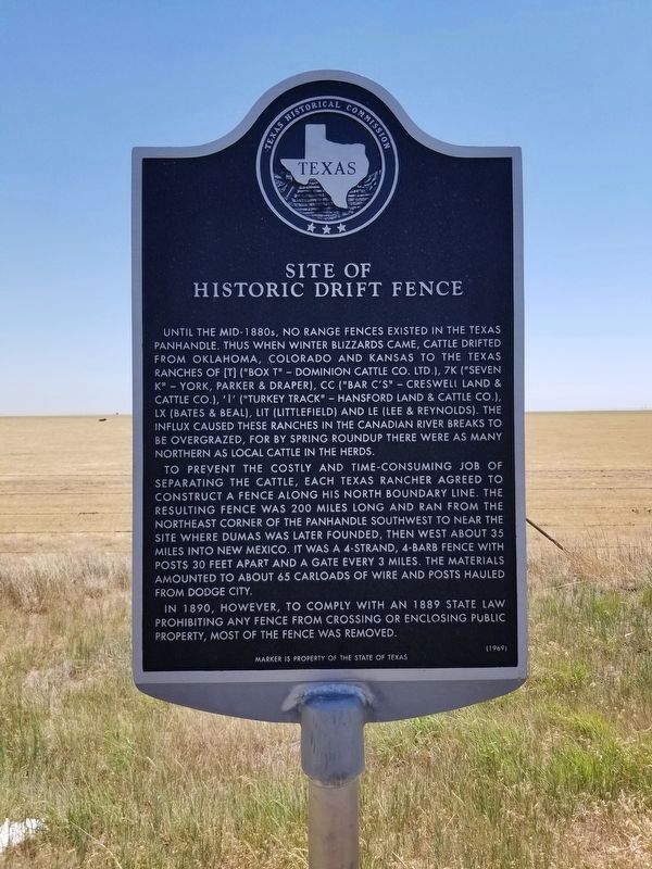
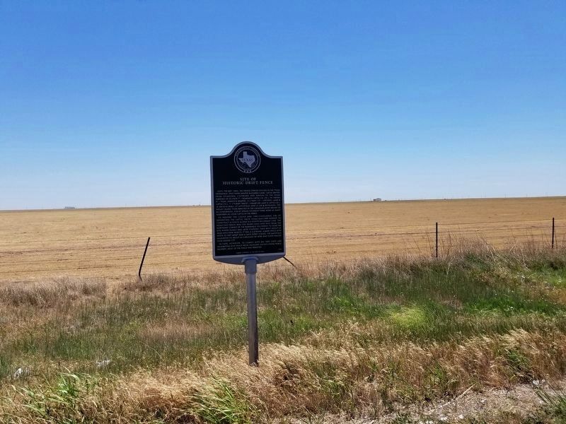
Site of Historic Drift Fence
Until the mid-1880's, no range fences existed in the Texas Panhandle. Thus when winter blizzards came, cattle drifted from Oklahoma, Colorado and Kansas to the Texas ranches of ("Box T"--Dominion Cattle Co. Ltd.), K ("Seven K"--York, Parker & Draper), CC ("Bar C's"--Creswell Land & Cattle Co.), ("Turkey Tract"--Hansford Land & Cattle Co.), LX (Bates & Beal), LIT (Littlefield) and LE (Lee & Reynolds). The influx caused these ranches in the Canadian River breaks to be over grazed, for by spring roundup there were as many northern as local cattle in the herds.
To prevent the costly and time-consuming job of separating the cattle, each Texas rancher agreed to construct a fence along his north boundary line. The resulting fence was 200 miles long and ran from the northeast corner of the Panhandle southwest to near the site where Dumas was later founded, then west about 35 miles into New Mexico. It was a 4-strand, 4-bars fence with posts 30 feet apart and a gate every 3 miles. The materials amounted to about 65 carloads of wire and posts hauled from Dodge City.
In 1890, however, to comply with an 1889 state law prohibiting any fence from crossing or enclosing public property, most of the fence was removed.
Marker is property of the State of Texas
Erected 1969 by Texas Historical Commission. (Marker Number 4812.)
Topics. This historical marker is listed in these topic lists: Agriculture • Industry & Commerce.
Location. 35° 55.222′ N, 101° 39.006′ W. Marker is in Sunray, Texas, in Moore County. Marker is on FM 1060, on the right when traveling north. The marker is 4.9 miles north of State Highway 152 on FM 1060. Touch for map. Marker is in this post office area: Sunray TX 79086, United States of America. Touch for directions.
Other nearby markers. At least 2 other markers are within 12 miles of this marker, measured as the crow flies. Route of Tascosa-Dodge City Trail (approx. 7.6 miles away); First Battle of Adobe Walls (approx. 11˝ miles away).
Credits. This page was last revised on June 8, 2020. It was originally submitted on June 8, 2020, by Allen Lowrey of Amarillo, Texas. This page has been viewed 224 times since then and 23 times this year. Photos: 1, 2, 3. submitted on June 8, 2020, by Allen Lowrey of Amarillo, Texas. • J. Makali Bruton was the editor who published this page.


