Pulaski in Giles County, Tennessee — The American South (East South Central)
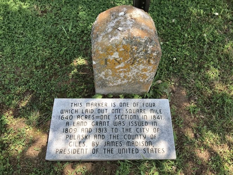
Pulaski Cornerstone — Southeast
Photographed by Duane and Tracy Marsteller, June 6, 2020
1. Pulaski Cornerstone — Southeast Marker
Topics and series. This historical marker is listed in this topic list: Political Subdivisions. In addition, it is included in the Former U.S. Presidents: #04 James Madison series list. A significant historical year for this entry is 1841.
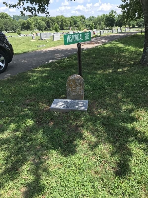
Location. 35° 11.51′ N, 87° 1.653′ W. Marker is in Pulaski, Tennessee, in Giles County. It is on South Sam Davis Avenue south of Cleveland Street, on the right when traveling south. The marker is located in Maplewood Cemetery. Touch for map. Marker is in this post office area: Pulaski TN 38478, United States of America. Touch for directions.

Regionally, this marker is in Middle Tennessee and in the Highland Rim. It is also in the American South and specifically in the Upper South. Globally, it is in North America, the Western Hemisphere, the Western World, and the Anglosphere. Historically, it finds itself in what was once the territory of the Mississippian
this page online
Other nearby markers. At least 8 other markers are within walking distance of this marker: United States Colored Infantry (a few steps from this marker); Samuel “Sam” Davis (within shouting distance of this marker); Professor John Thomas Bridgeforth (within shouting distance of this marker); Dr. William Albert Lewis (within shouting distance of this marker); James M. McCallum (about 300 feet away, measured in a direct line); John Goff Ballentine (about 300 feet away); Maplewood Cemetery (about 600 feet away); Thomas McKissack Jones (about 600 feet away). Touch for a list and map of all markers in Pulaski.
Photographed by Duane and Tracy Marsteller, June 6, 2020
2. Pulaski Cornerstone — Southeast Marker
Credits. This page was last revised on June 10, 2020. It was originally submitted on June 9, 2020, by Duane and Tracy Marsteller of Murfreesboro, Tennessee. This page has been viewed 271 times since then and 46 times this year. Photos: 1, 2. submitted on June 9, 2020, by Duane and Tracy Marsteller of Murfreesboro, Tennessee. • J. Makali Bruton was the editor who published this page.
