Pulaski in Giles County, Tennessee — The American South (East South Central)
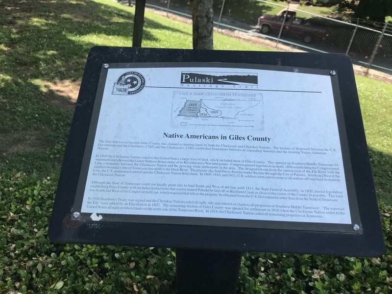
Native Americans in Giles County
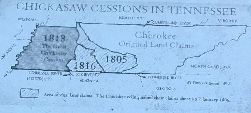
In 1805 the Chickasaw Nation ceded to the United States a large tract of land, which included most of Giles County. This opened up Southern Middle Tennessee for settlement and allowed the United States to honor many of its Revolutionary War land grants. Congress passed legislation in April, 1806 establishing the Congressional Line, a boundary between the Chickasaw Nation and the growing white settlements in the area. The designation ran from the intersection of the Elk River with the southern boundary line of Tennessee due north to the Duck River. The present-day Sam Davis Avenue marks the line through the City of Pulaski. South and West of the Line, the U.S. maintained control and the Chickasaw Nation held claim. In 1809, 1810, and 1811, U.S. soldiers were sent to remove all settlers off land held in claim by the Chickasaw Nation.
Although the State of Tennessee could not legally grant title to land South and West of the line until 1811, the State General Assembly, in 1809, passed legislation establishing Giles County with included instructions that a town named Pulaski be laid off on Richland Creek as close to the center of the County as possible. This land was South and West of the Congressional Line, which required that title to the property be obtained from the U.S. Government rather than from the State of Tennessee.
In 1806 Dearborn's Treaty was signed and the Cherokee Nation ceded all right, title and interest or claim to all properties in Southern Middle Tennessee. “The waters of the Elk” were added by an Elucidation in 1807. The remaining section of Giles County was opened for settlement in 1816 when the Chickasaw Nation ceded to the United States all right or title to lands on the north side of the Tennessee River. In 1818, the Chickasaw Nation ceded all remaining properties in Tennessee.
Topics. This historical marker is listed in these topic lists: Native Americans • Settlements & Settlers. A significant historical month for this entry is April 1806.
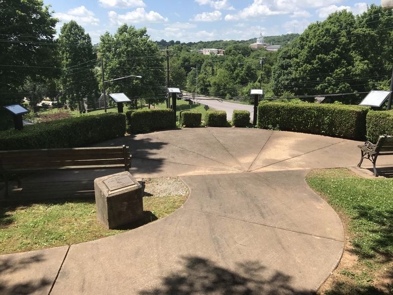
Location. 35° 11.705′ N, 87° 1.733′ W. Marker is in Pulaski, Tennessee, in Giles County. Marker can be reached from South Sam Davis Avenue south of East College Street. The marker is located in the Dan Speer Overlook behind the Pulaski Parks and Recreation Department. Touch for map. Marker is at or near this postal address: 333 East College Street, Pulaski TN 38478, United States of America. Touch for directions.
Other nearby markers. At least 8 other markers are within walking
distance of this marker. Establishment of Pulaski / Giles County (here, next to this marker); Count Casimir Pulaski (1747-1779) (here, next to this marker); Giles County Courthouses (here, next to this marker); Pulaski Academy (a few steps from this marker); Trail of Tears (within shouting distance of this marker); Nunahi-Duna-Dlo-Hily-I (within shouting distance of this marker); The Benge Route (about 300 feet away, measured in a direct line); The Trail of Tears Interpretive Center (about 400 feet away). Touch for a list and map of all markers in Pulaski.
Credits. This page was last revised on June 10, 2020. It was originally submitted on June 9, 2020, by Duane and Tracy Marsteller of Murfreesboro, Tennessee. This page has been viewed 1,088 times since then and 234 times this year. Photos: 1, 2, 3. submitted on June 9, 2020, by Duane and Tracy Marsteller of Murfreesboro, Tennessee. • J. Makali Bruton was the editor who published this page.


