Canaseraga in Allegany County, New York — The American Northeast (Mid-Atlantic)
Canaseraga Four Corners Historic District
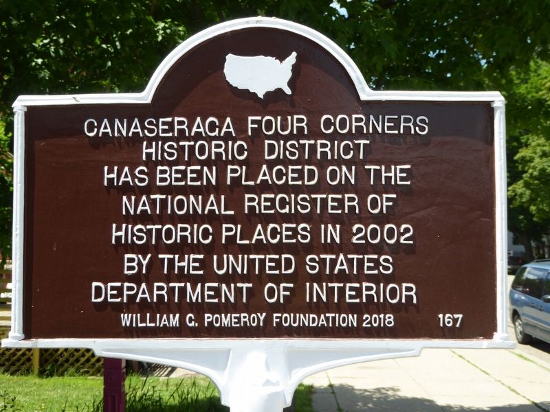
Photographed by Bruce Kelly, June 5, 2020
1. Canaseraga Four Corners Historic District Marker
Erected 2018 by William G. Pomeroy Foundation. (Marker Number 167.)
Topics. This historical marker is listed in this topic list: Notable Places. A significant historical year for this entry is 2002.
Location. 42° 27.67′ N, 77° 46.674′ W. Marker is in Canaseraga, New York, in Allegany County. It is on Main Street (New York State Route 70) west of S Church Street, on the right when traveling east. Touch for map. Marker is at or near this postal address: 67 Main Street, Canaseraga NY 14822, United States of America. Touch for directions.

Regionally, this marker is in Upstate New York, specifically in Western New York, and in the Southern Tier. It is also in the American Northeast, in the Mid-Atlantic, in Appalachia, and specifically in Northern Appalachia. Globally, it is in North America, the Western Hemisphere, the Western World, and the Anglosphere. Historically, it finds itself in what was once the Haudenosaunee (Iroquois) Confederacy, New Netherland,
this page online
Other nearby markers. At least 8 other markers are within 5 miles of this marker, measured as the crow flies: First House in Canaseraga (approx. half a mile away); Site of First School House (approx. half a mile away); A Hairy Legend (approx. 2.6 miles away); One Room School (approx. 3 miles away); Fred C. Bonner Barn (approx. 3.7 miles away); Ossian (approx. 4.2 miles away); Ossian Center (approx. 4.2 miles away); Isaac Hampton (approx. 4.2 miles away). Touch for a list and map of all markers in Canaseraga.
Also see . . . Canaseraga Four Corners Historic District (Wikipedia). (Submitted on June 15, 2020, by Michael Herrick of Southbury, Connecticut.)
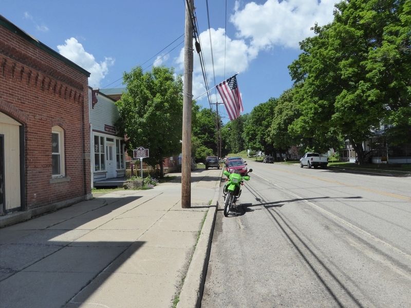
Photographed by Bruce Kelly, June 5, 2020
2. Canaseraga Four Corners Historic District Marker
Looking West on Main St. (Rt 70), Canaseraga, NY
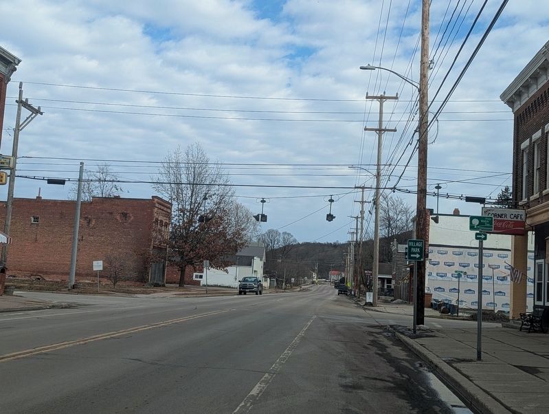
Photographed by Mira Earls
3. Canaseraga Four Corners Historic District Marker Wider View
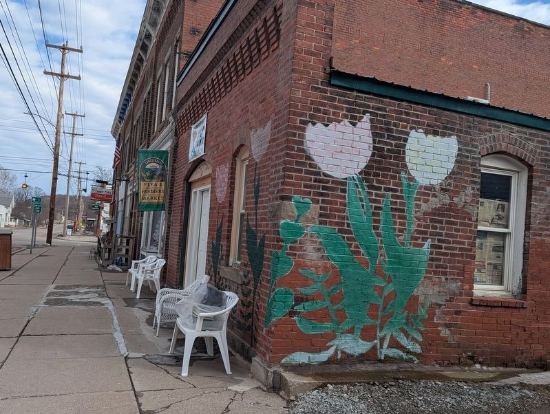
Photographed by Mira Earls
4. Canaseraga Four Corners Historic District Marker wide view
Credits. This page was last revised on July 9, 2026. It was originally submitted on June 9, 2020, by Bruce Kelly of Perry, New York. This page has been viewed 437 times since then and 55 times this year. Photos: 1, 2. submitted on June 9, 2020, by Bruce Kelly of Perry, New York. 3, 4. submitted on June 1, 2026, by Mira Earls of Cortland, New York. • Michael Herrick was the editor who published this page.
