Near Clements in San Joaquin County, California — The American West (Pacific Coastal)
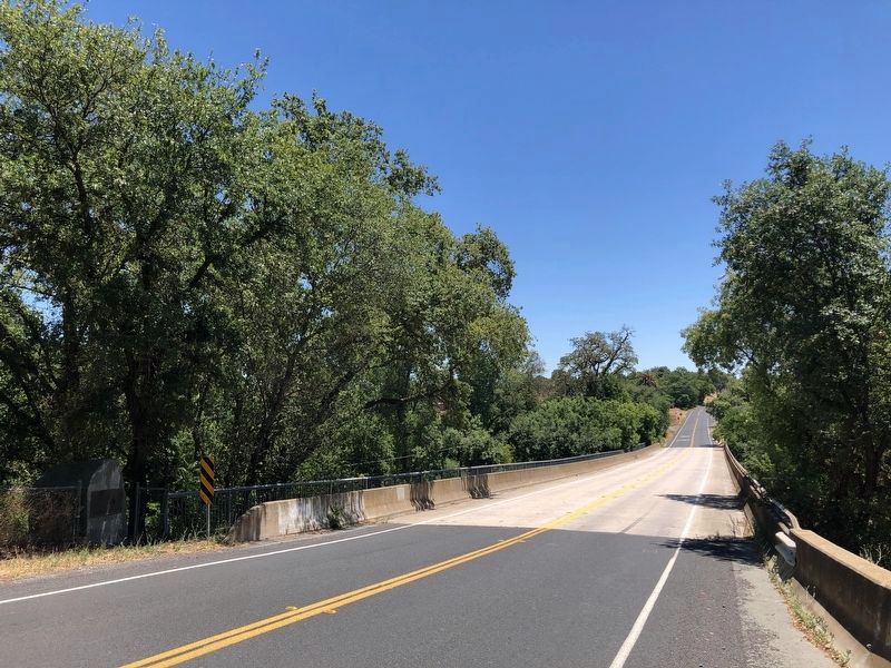
Mackville Road Bridge
Inscription.
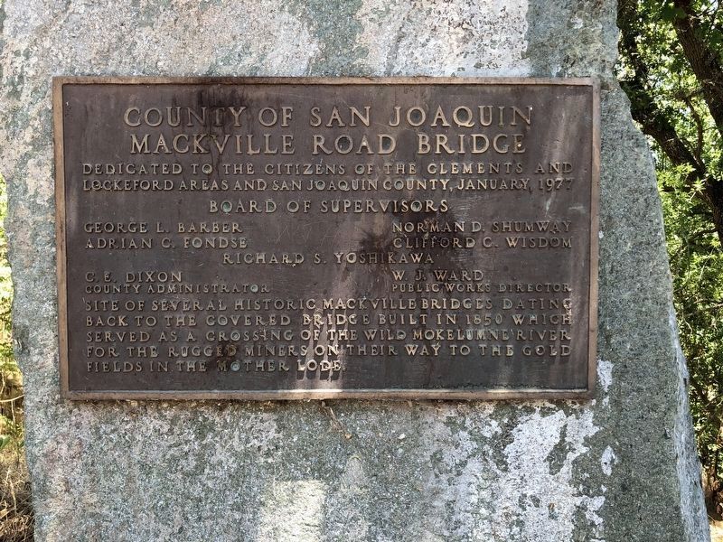
Mackville Road Bridge
Dedicated to the citizens of the Clements and Lockeford areas and San Joaquin County, January 1977
Board of Supervisors
George L. Baker • Norman D. Shumway • Adrian C. Fondse • Clifford C. Wisdom • Richard S. Yoshikawa
C.E. Dixon, County Administrator
W.J. Ward, Public Works Director
Site of several historic Mackville Bridges dating back to the covered bridge built in 1850 which served as a crossing of the wild Mokolumne River for the rugged miners on their way to the gold fields in the Mother Lode.
Erected 1977 by San Joaquin County Board of Supervisors.
Topics. This historical marker is listed in this topic list: Bridges & Viaducts.
Location. 38° 12.338′ N, 121° 5.603′ W. Marker is near Clements, California, in San Joaquin County. Marker is on Mackville Road near East Jahant Road, on the left when traveling south. Touch for map. Marker is at or near this postal address: 24039 Mackville Road, Clements CA 95227, United States of America. Touch for directions.
Other nearby markers. At least 8 other markers are within 2 miles of this marker, measured as the crow flies. Lone Star Mill (about 700 feet away, measured in a direct line); Glenview Cemetery (approx. 0.3 miles away); James B. Anderson (approx. 0.3 miles away); Dogtown Cemetery (approx. 0.6 miles away); David S. Terry (approx. 1.1 miles away); Athearn School Bell (approx. 1.1 miles away); Clements Elementary School (approx. 1.1 miles away); History of Clements Buckaroos (approx. 1.1 miles away). Touch for a list and map of all markers in Clements.
Credits. This page was last revised on June 11, 2020. It was originally submitted on June 11, 2020, by Barry Swackhamer of Brentwood, California. This page has been viewed 239 times since then and 28 times this year. Photos: 1, 2. submitted on June 11, 2020, by Barry Swackhamer of Brentwood, California.

