Near Murfreesboro in Rutherford County, Tennessee — The American South (East South Central)
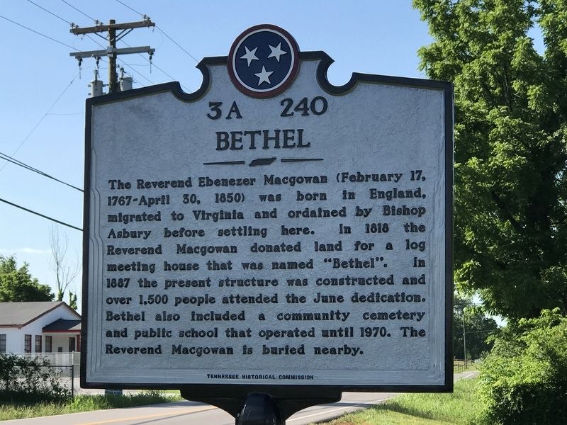
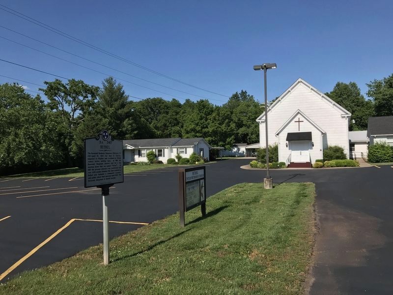
Bethel
Erected 2018 by Tennessee Historical Commission. (Marker Number 3A 240.)
Topics and series. This historical marker is listed in these topic lists: Cemeteries & Burial Sites • Churches & Religion • Education • Settlements & Settlers. In addition, it is included in the Tennessee Historical Commission series list. A significant historical year for this entry is 1818.
Location. 35° 55.956′ N, 86° 25.823′ W. Marker is near Murfreesboro, Tennessee, in Rutherford County. Marker is on Sulphur Springs Road, half a mile north of Shacklett Road, on the right when traveling north. Touch for map. Marker is at or near this postal address: 4286 Sulphur Springs Road, Murfreesboro TN 37129, United States of America. Touch for directions.
Other nearby markers. At least 8 other markers are within 3 miles of this marker, measured as the crow flies. Wheeler's Raid around Rosecrans (approx. 2.9 miles away); The Very Forest Seemed to Fall (approx. 3 miles away); Remembering by Rail (approx. 3.1 miles away); Battle at Stones River (approx. 3.1 miles away); a different marker also named Battle at Stones River (approx. 3.1 miles away); a different marker also named Battle at Stones River (approx. 3.1 miles away); McFadden Cemetery (approx. 3.1 miles away); Headquarters (approx. 3.1 miles away). Touch for a list and map of all markers in Murfreesboro.
Credits. This page was last revised on September 24, 2020. It was originally submitted on June 11, 2020, by Duane and Tracy Marsteller of Murfreesboro, Tennessee. This page has been viewed 162 times since then and 15 times this year. Photos: 1, 2. submitted on June 11, 2020, by Duane and Tracy Marsteller of Murfreesboro, Tennessee. • Devry Becker Jones was the editor who published this page.

