
Rancho Cucamonga in San Bernardino County, California — The American West (Pacific Coastal)
Cucamonga Labor Camp
City of Rancho Cucamonga Historic Point of Interest
| — | 1944-1946 | — |
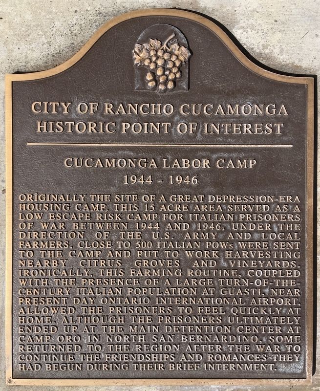
Photographed by Craig Baker, June 12, 2020
1. Cucamonga Labor Camp Marker
Topics. This historical marker is listed in this topic list: War, World II. A significant historical year for this entry is 1944.
Location. 34° 5.98′ N, 117° 36.861′ W. Marker is in Rancho Cucamonga, California, in San Bernardino County. It is at the intersection of Highridge Place and Arrow Route, on the right when traveling north on Highridge Place. Located
this page online

Regionally, this marker is in Greater Los Angeles, in the Inland Empire, in the Peninsular Ranges, and specifically in the Transverse Ranges. It is also in the American Southwest. Globally, it is in North America, on the Ring of Fire, in the Pacific Rim, in the Western Hemisphere, in the Western World, and in the Anglosphere. Historically, it finds itself in what was once New Spain and also Mexico’s Alta California.
Other nearby markers. At least 8 other markers are within walking distance of this marker: 1977 (approx. half a mile away); 1887 (approx. half a mile away); a different marker also named Cucamonga Labor Camp (approx. half a mile away); 1881 (approx. half a mile away); 1870s (approx. half a mile away); 1880s (approx. half a mile away); 1864 (approx. half a mile away); 1858 (approx. half a mile away). Touch for a list and map of all markers in Rancho Cucamonga.
More about this marker. An identical marker is
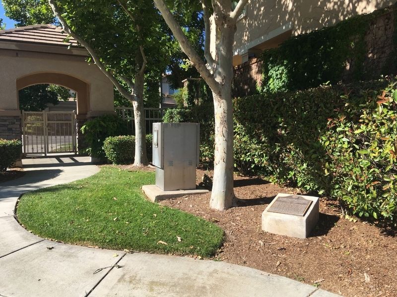
Photographed by Craig Baker, June 12, 2020
2. Cucamonga Labor Camp Marker
Credits. This page was last revised on June 17, 2020. It was originally submitted on June 13, 2020, by Craig Baker of Sylmar, California. This page has been viewed 1,158 times since then and 64 times this year. Photos: 1, 2. submitted on June 13, 2020, by Craig Baker of Sylmar, California. • J. Makali Bruton was the editor who published this page.
