Warrenton in Fauquier County, Virginia — The American South (Mid-Atlantic)
The Turntable
Warrenton, VA - Circa 1939
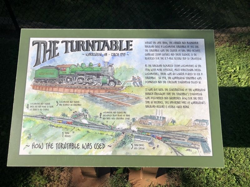
During the late 1800s, the Orange and Alexandria Railroad built a locomotive turntable at this site. The turntable was the center of rail yard activity, enabling steam engines and their tenders to be reversed for the 8.9-mile return trip to Calverton.
As the railroad replaced steam locomotives in the 1950s with more efficient, multi-directional diesel locomotives, there was no longer a need to use a turntable. In 1954, the Warrenton turntable was dismantled and the circulation filled in.
It was not until the construction of the Warrenton Branch Greenway that the turntable's foundation was discovered and unearthed. Now for the first time in decades, this important part of Warrenton's railroad history is visible once again.
How the Turntable Was Used
1. Train arrives
2. Locomotive and tender are uncoupled from front of train and back onto turntable siding
3. Locomotive and tender are rotated on turntable
4. Locomotive and tender back out and move to rear of train to re-couple
5. Train backs into station
Topics and series. This historical marker is listed in this topic list: Railroads & Streetcars.
this page online
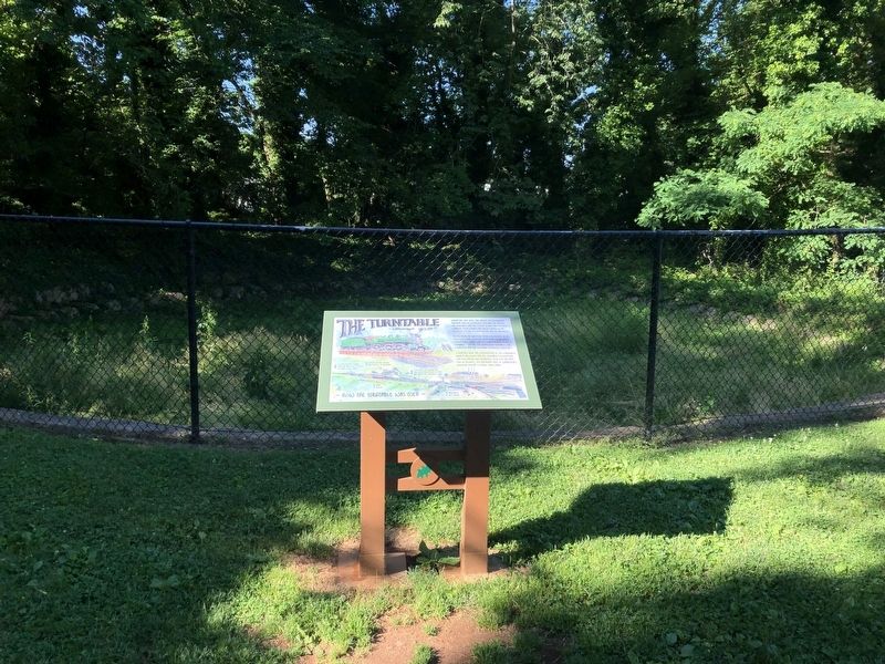
Location. 38° 42.539′ N, 77° 47.613′ W. Marker is in Warrenton, Virginia, in Fauquier County. It is on Warrenton Branch Greenway 0.2 miles south of South 5th Street, on the right when traveling south. Touch for map. Marker is in this post office area: Warrenton VA 20186, United States of America. Touch for directions.

Regionally, this marker is in the Washington Metropolitan Area and in Northern Virginia. It is also in the American South, specifically in the Upper South, and in the Mid-Atlantic. Globally, it is in North America, the Western Hemisphere, the Western World, and the Anglosphere. Historically, it finds itself in what was once the territory of the Mississippian Culture, one of the original Thirteen Colonies, one of the Confederate States of America, and the Antebellum South.
Other nearby markers. At least 8 other markers are within walking distance of this marker: The Railroad Caboose (about 700 feet away, measured in a direct line); Brentmoor: The Spilman-Mosby House (approx. ¼ mile
Credits. This page was last revised on June 13, 2020. It was originally submitted on June 13, 2020, by Devry Becker Jones of Washington, District of Columbia. This page has been viewed 753 times since then and 50 times this year. Photos: 1, 2. submitted on June 13, 2020, by Devry Becker Jones of Washington, District of Columbia.
