Fieldton in Lamb County, Texas — The American South (West South Central)
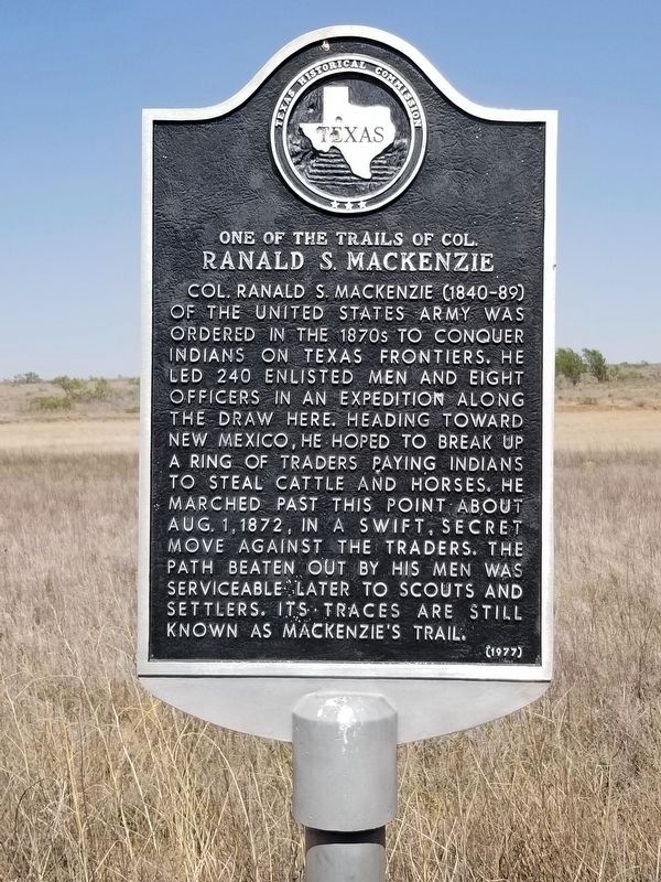
One of the Trails of Col. Ranald S. MacKenzie
Colonel Ranald S. Mackenzie (1840-89) of the United States Army was ordered in the 1870s to conquer Indians of Texas frontiers. He led 240 enlisted men and eight officers in an expedition along the draw here. Heading toward New Mexico, he hoped to break up a ring of traders paying Indians to steal cattle and horses. He marched past this point about August 1, 1872, in a swift, secret move against the traders. The path beaten out by his men was serviceable later to scouts and settlers. Its traces are still known as Mackenzie's Trail.
Erected 1977 by Texas Historical Commission. (Marker Number 3863.)
Topics. This historical marker is listed in these topic lists: Exploration • Wars, US Indian.
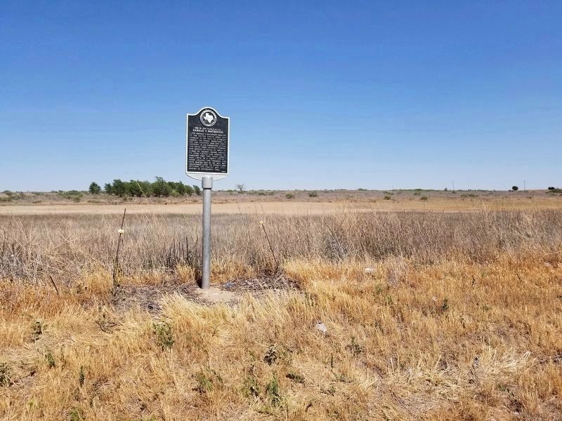
Location. 34° 1.598′ N, 102° 13.401′ W. Marker is in Fieldton, Texas, in Lamb County. Marker is on FM 1072, on the left when traveling south. The marker can be found from Fieldton, taking FM 1072 south then about .5 miles. Touch for map. Marker is in this post office area: Fieldton TX 79326, United States of America. Touch for directions.
Other nearby markers. At least 8 other markers are within 12 miles of this marker, measured as the crow flies. Rocky Ford Crossing and Community (approx. 6.9 miles away); Lamb County Sand Hills (approx. 9.2 miles away); Replica of XIT's Giant Windmill (approx. 9.3 miles away); In Memory of George W. Littlefield (approx. 9.6 miles away); Town of Amherst (approx. 11.2 miles away); Sod House Spring (approx. 11.7 miles away); First Baptist Church of Olton (approx. 11.7 miles away); Site of the First Lamb County Courthouse (approx. 11.8 miles away).
Credits. This page was last revised on June 14, 2020. It was originally submitted on June 14, 2020, by Allen Lowrey of Amarillo, Texas. This page has been viewed 351 times since then and 24 times this year. Photos: 1, 2. submitted on June 14, 2020, by Allen Lowrey of Amarillo, Texas. • J. Makali Bruton was the editor who published this page.

