
Creation and Development of 3M
900 Bush Avenue: The House That Research Built
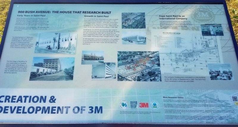
When the Minnesota Mining and Manufacturing Company relocated from Duluth to Saint Paul in 1910, all of the company offices and manufacturing operations were housed in one small building on Forest Street by the railroad tracks in Dayton's Bluff.
With the success of its sandpapers, 3M expanded into a second building by 1919. The offices were on the second floor.
The development of "Wetordry" sandpaper in 1921 and "Scotch" masking tape in 1925 led to a period of sustained growth. Building 3 was added to the sandpaper plant in 1923 and Building 12 for minerals sorting in 1928.
Caption: The first stage of Building 14 was constructed on Fauquier Avenue, west of Building 2, in 1929 to expand the plant facilities. Building 20, west of Building 14, added even more manufacturing capacity.
Growth in Saint Paul
As more products were developed and sales increased, more office and factory space was needed. In 1937, company president William L. McKnight announced a half million dollar expansion program that included Building 20 for manufacturing in 1937-1938 and Building 21 as the new administrative
this page online
Buildings 22, 23, and 24 were built for tape research and manufacturing over the following decade. Building 42 was constructed in 1950-1951 to house the company's expanding office staff, sales departments, and division heads, following a major reorganization in 1948.
As 3M expanded, it acquired properties in the neighborhood and demolished existing houses to provide sites for Building 24, the water tower, and the adjoining parking lot.
From Saint Paul to an International Company
The administrative complex was the hub for the development of company strategies for research, product development, and product diversification. 3M's international division was also headquartered in this complex.
The company headquarters relocated to a new building at the 3M Center in Maplewood in 1962. The Saint Paul Plant remained in active use until 2009.
Erected by Saint Paul Port Authority, Historic Saint Paul, 3M, United States Environmental Protection Agency.
Topics. This historical marker is listed in this topic list: Industry & Commerce. A significant historical year for this entry is 1910.
Location. 44° 57.798′ N, 93° 3.813′ W.
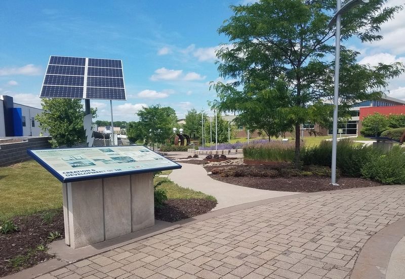

Regionally, this marker is in the Twin Cities Metropolitan Area. It is also in the American Midwest, in the Corn Belt, and in the Great River Road Region. Globally, it is in North America, the Western Hemisphere, the Western World, and the Anglosphere. Historically, it finds itself in what was once Rupert’s Land, the territory of the Mississippian Culture, and the Louisiana Purchase.
Other nearby markers. At least 8 other markers are within walking distance of this marker: 3M & Saint Paul (here, next to this marker); Marketing 3M & Its Products (a few steps from this marker); "The Mining" (a few steps from this marker); 3M, a Family Affair (within shouting distance of this marker); Scotch Brand (within shouting distance of this marker); People & Times: 3M & Saint Paul's East Side (within shouting distance of this marker); 3M Vision & Growth (within shouting distance of this marker); The 3M Story (within shouting distance of this marker). Touch for a list and map of all markers in Saint Paul.
Credits. This page was last revised on February 12, 2023. It was originally submitted on June 14, 2020, by McGhiever of Minneapolis, Minnesota. This page has been viewed 688 times since then and 43 times this year. Photos: 1, 2. submitted on June 14, 2020, by McGhiever of Minneapolis, Minnesota. • Mark Hilton was the editor who published this page.
