Downtown in Hampton, Virginia — The American South (Mid-Atlantic)
Community Crossroads
The Heart of the Neighborhood
— Old North Hampton —
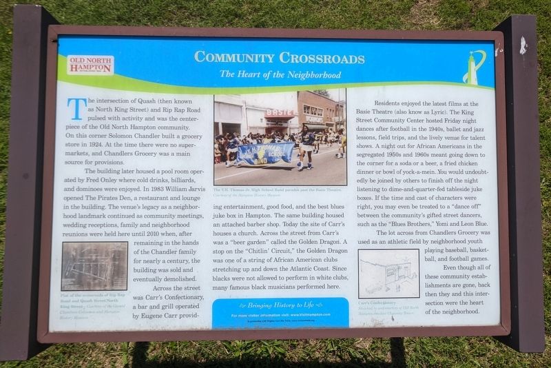
The building later housed a pool room operated by Fred Onley where cold drinks, billiards, and dominoes were enjoyed. In 1983 William Jarvis opened The Pirates Den, a restaurant and lounge in the building. The venue's legacy as a neighborhood landmark continued as community meetings, wedding receptions, family and neighborhood reunions were held here until 2010 when, after remaining in the hands of the Chandler family for nearly a century, the building was sold and eventually demolished.
Across the street was Carr's Confectionery, a bar and grill operated by Eugene Carr providing entertainment, good food, and the best blues juke box in Hampton. The same building housed an attached barber shop. Today the site of Carr's houses a church. Across the street from Carr's was a "beer garden" called the Golden Dragon. A stop on the "Chitlin' Circuit," the Golden Dragon was one of a string of African American clubs stretching up and down the Atlantic Coast. Since blacks were not allowed to perform in white clubs, many famous black musicians performed here.
Residents enjoyed the latest films at the Basie Theatre (also know as Lyric). The King Street Community Center hosted Friday night dances after football in the 1940s, ballet and jazz lessons, field trips, and the lively venue for talent shows. A night out for African Americans in the segregated 1950s and 1960s meant going down to the corner for a soda or a beer, a fried chicken dinner or bowl of yock-a-mein. You would undoubtedly be joined by others to finish off the night listening to dime-and-quarter-fed tableside juke boxes. If the time and cast of characters were right, you may even be treated to a "dance off" between the community's gifted street dancers, such as the "Blues Brothers," Yomi and Leon Blue.
Even though all of these community establishments are gone, back then they and this intersection were the heart of the neighborhood.
(captions)
Plat of the crossroads of Rip Rap Road and Quash Street/North King Street — Courtesy of the Gerard Chambers Collection and Hampton History Museum
the Y.H. Thomas Jr. High School Band parades past the Basie Theatre. Courtesy of the Hampton History Museum
Carr's Confectionary Sketched by and courtesy of Old North Hampton resident Chauncy Brown
Erected by Bringing History to Life in partnership with Virginia Civil War Terails.
Topics. This historical marker is listed in these topic lists: African Americans • Entertainment • Industry & Commerce.
Location. 37° 2.196′ N, 76° 21.034′ W. Marker is in Hampton, Virginia. It is in Downtown. Marker is at the intersection of Rip Rap Road and Quash Street, on the right when traveling north on Rip Rap Road. Touch for map. Marker is in this post office area: Hampton VA 23669, United States of America. Touch for directions.
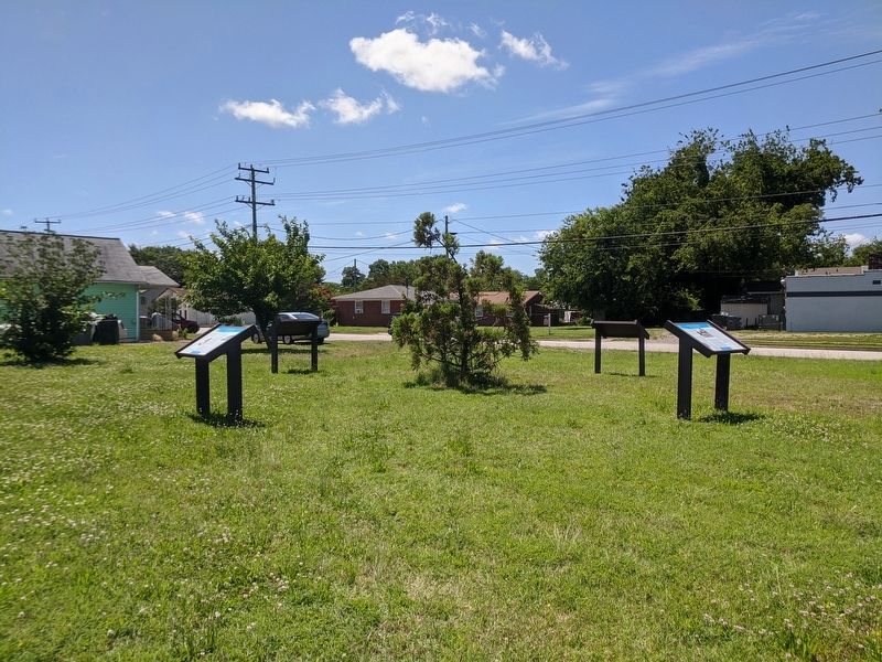
Other nearby markers. At least 8 other markers are within walking distance of this marker. Old North Hampton (here, next to this marker); Circle of Life (here, next to this marker); John Mallory Phillips (a few steps from this marker); Mary Smith Kelsey Peake (approx. half a mile away); Virginia State Federation of Colored Women’s Clubs (approx. 0.6 miles away); First Baptist Church (approx. 0.6 miles away); Black Business (approx. 0.6 miles away); Grand Contraband Camp (approx. 0.6 miles away). Touch for a list and map of all markers in Hampton.
Credits. This page was last revised on February 1, 2023. It was originally submitted on June 14, 2020, by Bernard Fisher of Richmond, Virginia. This page has been viewed 283 times since then and 10 times this year. Photos: 1, 2. submitted on June 14, 2020, by Bernard Fisher of Richmond, Virginia.

