Downtown in Hampton, Virginia — The American South (Mid-Atlantic)
Old North Hampton
Self-sustaining and Self-contained
— Old North Hampton —
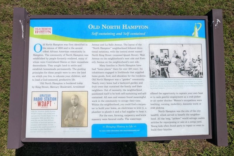
Old North Hampton is bordered today by King Street, Mercury Boulevard, Armistead Avenue and La Salle Avenue. The layout of the "North Hampton" neighborhood followed directional notations, with the central street named North King Street (renamed Quash Street), West Avenue on the neighborhood's west side and Eastrly Avenue on the neighborhood's east side.
Many families in North Hampton have had "home places" there for over 100 years. Its inhabitants engaged in livelihoods that supplied home goods, food, and education for the residents. Old North Hampton was a "garden" community. Nearly every home had a backyard garden and fruit trees that sustained the family and their neighbors. Out of necessity, the neighborhood positioned itself to be both self-sustaining and self-contained. All men and women found meaningful work in the community to occupy their time. Within the neighborhood, you could find a carpenter to build your home, an electrician to wire it, a plumber to plumb it and a fuel supplier to heat it.
Fr the men, farming, carpentry and brick masonry were favored crafts. The waterways offered the opportunity to captain your own boat or to seek gainful employment as a crab picker or an oyster shucker. Women's occupations were teaching, nursing, midwifery, domestic work or crab picking.
North Hampton was the site of the city landfill, which served to benefit the neighborhood. All day long, "pickers" would salvage usable articles for repurposing or sale at a scrap yard. Young kids often found parts to repair or even to build their bicycles.
(captions)
Sign for Amateur Radio Station W3APT station call, owned and operated by Charles Epps, born in September 1908 and died July 1944. He was the first African American to own and operate an amateur radio station. It was located in the small sun porch of his home on Rip Rap Road. Courtesy of Lillion Epps Johnson
Charles Epps Courtesy of Lillion Epps Johnson
John Mallory Phillips continued the family business begun by his grandfather, also named John Mallory Phillips. In this photograph he is watching workers in his seafood processing operation. At the time, Phillips was one of two African American seafood company owners in Hampton's thriving seafood industry. — Courtesy of the Daily Press
Erected by Bringing History to Life in partnership with Virginia Civil War Terails.
Topics. This historical marker is listed in these topic lists: African Americans • Industry & Commerce • Settlements & Settlers. A significant historical month for this entry is July 1944.
Location. 37° 2.197′ N, 76° 21.037′ W. Marker is in Hampton, Virginia. It is in Downtown. Marker is at the intersection of Rip Rap Road and Quash Street, on the right when traveling north on Rip Rap Road. Touch for map. Marker is in this post office area: Hampton VA 23669, United States of America. Touch for directions.
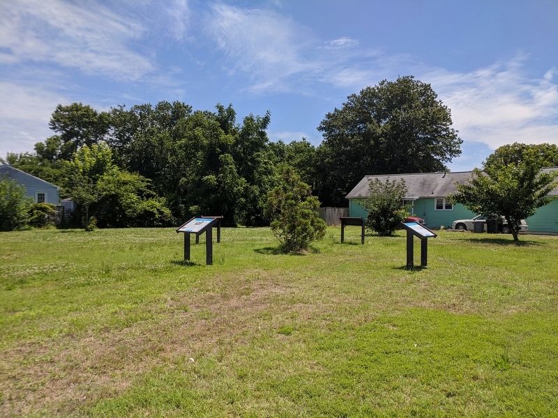
Other nearby markers. At least 8 other markers are within walking distance of this marker. Community Crossroads (here, next to this marker); John Mallory Phillips (here, next to this marker); Circle of Life (a few steps from this marker); Mary Smith Kelsey Peake (approx. half a mile away); Virginia State Federation of Colored Women’s Clubs (approx. 0.6 miles away); First Baptist Church (approx. 0.6 miles away); Black Business (approx. 0.6 miles away); Grand Contraband Camp (approx. 0.6 miles away). Touch for a list and map of all markers in Hampton.
Credits. This page was last revised on February 1, 2023. It was originally submitted on June 14, 2020, by Bernard Fisher of Richmond, Virginia. This page has been viewed 302 times since then and 40 times this year. Photos: 1, 2. submitted on June 14, 2020, by Bernard Fisher of Richmond, Virginia.

