Amherst in Lamb County, Texas — The American South (West South Central)
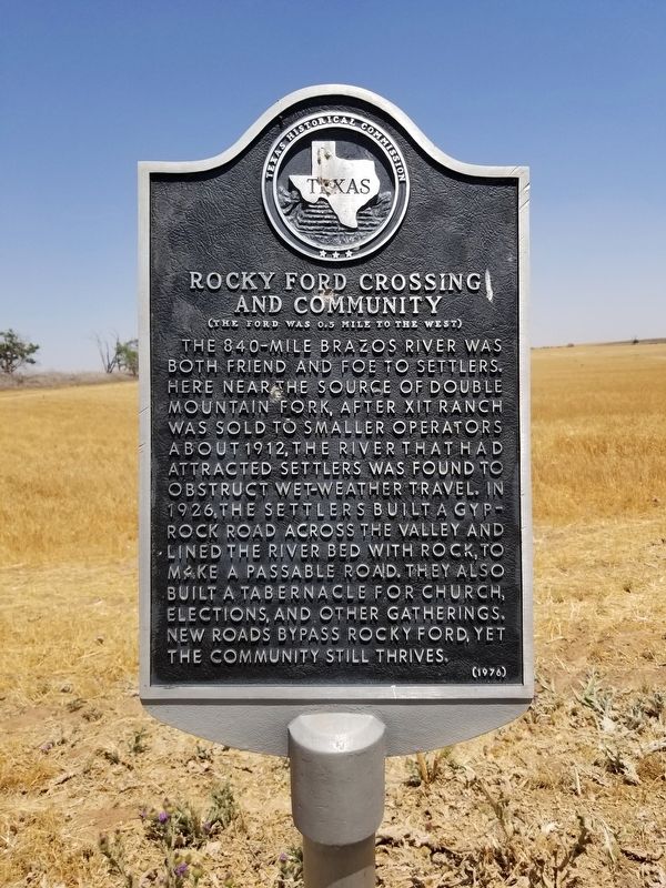
Rocky Ford Crossing and Community
(The ford was 0.5 mile to the west)
The 840-mile Brazos River was both friend and foe to settlers. Here, near the source of Double Mountain Fork, after XIT Ranch was sold to smaller operators about 1912, the river that had attracted settlers was found to obstruct wet-weather travel. In 1926, the settlers built a gyp-rock road across the valley and lined the river bed with rock, to make a passable road. They also built a tabernacle for church, elections, and other gatherings. New roads bypass Rocky Ford, yet the community still thrives.
Erected 1976 by Texas Historical Commission. (Marker Number 4331.)
Topics. This historical marker is listed in these topic lists: Roads & Vehicles • Settlements & Settlers.
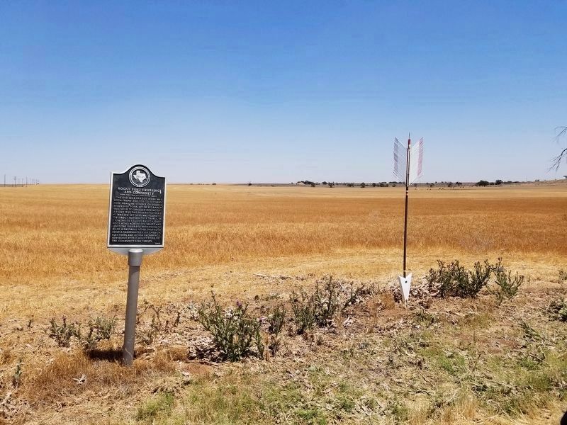
Location. 34° 4.804′ N, 102° 19.459′ W. Marker is in Amherst, Texas, in Lamb County. Marker is on US 385, on the right when traveling north. Touch for map. Marker is in this post office area: Amherst TX 79312, United States of America. Touch for directions.
Other nearby markers. At least 8 other markers are within 12 miles of this marker, measured as the crow flies. Lamb County Sand Hills (approx. 4.1 miles away); Sod House Spring (approx. 4.9 miles away); One of the Trails of Col. Ranald S. MacKenzie (approx. 6.9 miles away); Town of Amherst (approx. 7.3 miles away); Replica of XIT's Giant Windmill (approx. 10.7 miles away); In Memory of George W. Littlefield (approx. 11 miles away); Old Watering Trough (approx. 11˝ miles away); Quanah Parker Trail (approx. 11˝ miles away).
Credits. This page was last revised on June 15, 2020. It was originally submitted on June 14, 2020, by Allen Lowrey of Amarillo, Texas. This page has been viewed 800 times since then and 124 times this year. Last updated on June 15, 2020, by Allen Lowrey of Amarillo, Texas. Photos: 1, 2. submitted on June 14, 2020, by Allen Lowrey of Amarillo, Texas. • J. Makali Bruton was the editor who published this page.

