Burns in Dickson County, Tennessee — The American South (East South Central)
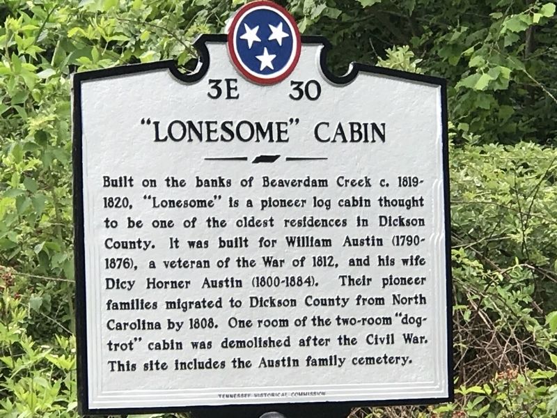
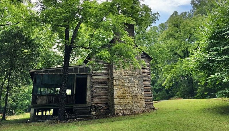
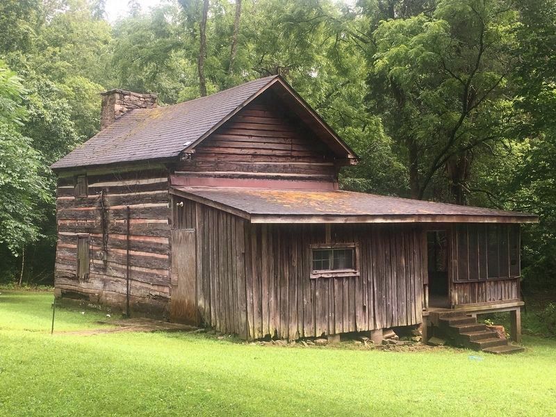
"Lonesome" Cabin
Erected by Tennessee Historical Commission. (Marker Number 3E 30.)
Topics and series. This historical marker is listed in these topic lists: Architecture • Cemeteries & Burial Sites • Settlements & Settlers. In addition, it is included in the Tennessee Historical Commission series list. A significant historical year for this entry is 1819.
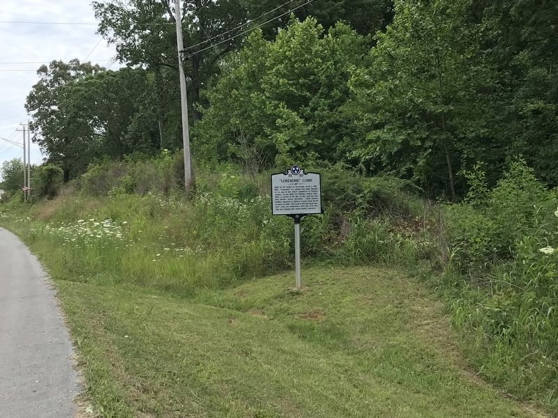
Location. 36° 3.035′ N, 87° 19.171′ W. Marker is in Burns, Tennessee, in Dickson County. Marker is on State Highway 96 east of Mathis Street, on the right when traveling east. Touch for map. Marker is at or near this postal address: 2004 Highway 96, Burns TN 37029, United States of America. Touch for directions.
Other nearby markers. At least 8 other markers are within 4 miles of this marker, measured as the crow flies. Cumberland Presbyterian Church Monument (approx. 3.2 miles away); The Old Log House (approx. 3.2 miles away); The Civilian Conservation Corps and Montgomery Bell State Park (approx. 3.2 miles away); McNairy’s Attack (approx. 3.6 miles away); Hampton School (approx. 3.9 miles away); The Civilian Conservation Corps (approx. 4 miles away); The CCC at Montgomery Bell (approx. 4 miles away); Cowan Lumber Company (approx. 4 miles away). Touch for a list and map of all markers in Burns.
Credits. This page was last revised on December 31, 2020. It was originally submitted on June 15, 2020, by Duane and Tracy Marsteller of Murfreesboro, Tennessee. This page has been viewed 604 times since then and 70 times this year. Photos: 1, 2, 3. submitted on June 15, 2020, by Duane and Tracy Marsteller of Murfreesboro, Tennessee. 4. submitted on December 31, 2020, by Darren Jefferson Clay of Duluth, Georgia. • Devry Becker Jones was the editor who published this page.


