Quitaque in Briscoe County, Texas — The American South (West South Central)
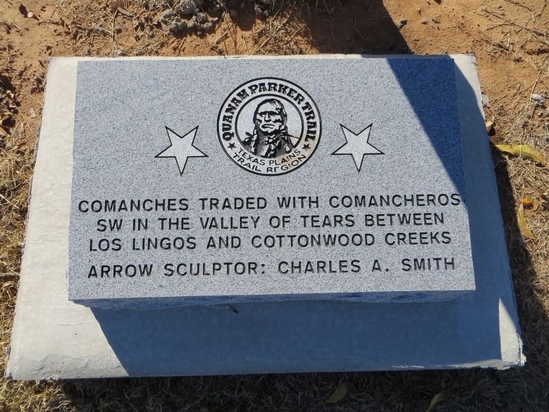
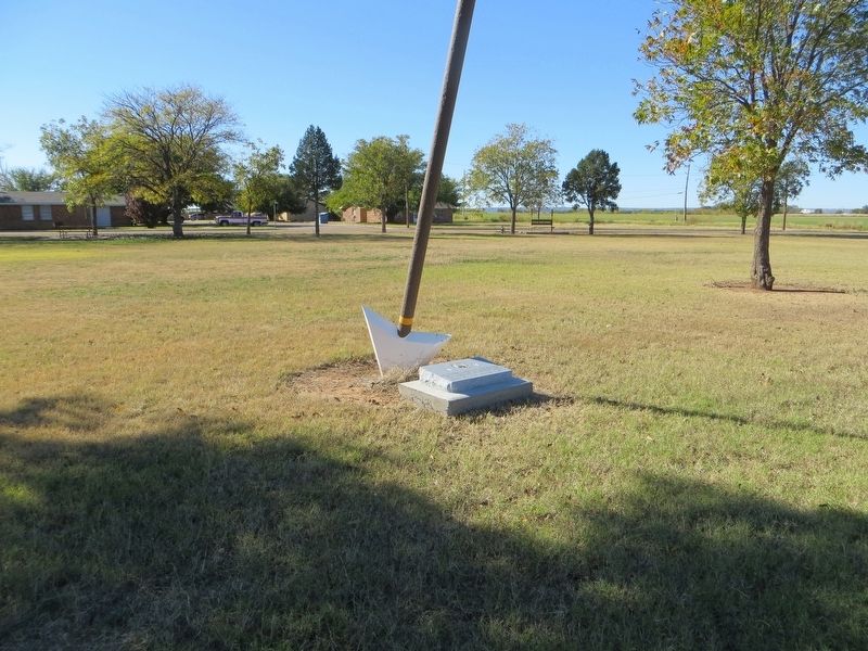
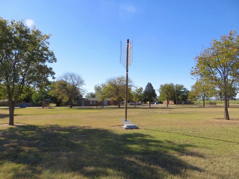
Quanah Parker Trail
Texas Plains Trail Region
SW in the Valley of Tears between
Los Lingos and Cottonwood Creeks
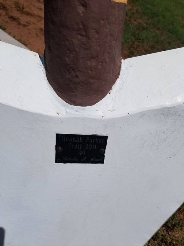
Arrow Sculptor: Charles A Smith
Topics. This historical marker is listed in this topic list: Native Americans.
Location. 34° 21.946′ N, 101° 2.692′ W. Marker is in Quitaque, Texas, in Briscoe County. Marker is on Main Street (State Highway 86) east of Cottonwood Street, on the right when traveling east. Touch for map. Marker is in this post office area: Quitaque TX 79255, United States of America. Touch for directions.
Other nearby markers. At least 8 other markers are within 8 miles of this marker, measured as the crow flies. Resthaven Cemetery (approx. 1.2 miles away); Gasoline Cotton Gin (approx. 2.4 miles away); Natural Disturbance-Lifeblood of the Prairies (approx. 3.1 miles away); Lake Theo Folsom Bison Kill Site (approx. 3.7 miles away); Camp Resolution (approx. 4.7 miles away); Home for 12,000 Years (approx. 5.9 miles away); Site of Original Headquarters of the Quitaque Ranch (approx. 6.6 miles away); a different marker also named Quanah Parker Trail (approx. 7.2 miles away). Touch for a list and map of all markers in Quitaque.
Also see . . . Quanah Parker Trail. (Submitted on November 27, 2016, by Bill Kirchner of Tucson, Arizona.)
Credits. This page was last revised on June 16, 2020. It was originally submitted on November 27, 2016, by Bill Kirchner of Tucson, Arizona. This page has been viewed 542 times since then and 38 times this year. Last updated on June 16, 2020, by Allen Lowrey of Amarillo, Texas. Photos: 1, 2, 3. submitted on November 27, 2016, by Bill Kirchner of Tucson, Arizona. 4. submitted on June 16, 2020, by Allen Lowrey of Amarillo, Texas. • J. Makali Bruton was the editor who published this page.


