Near Castaic in Los Angeles County, California — The American West (Pacific Coastal)
National Forest Inn
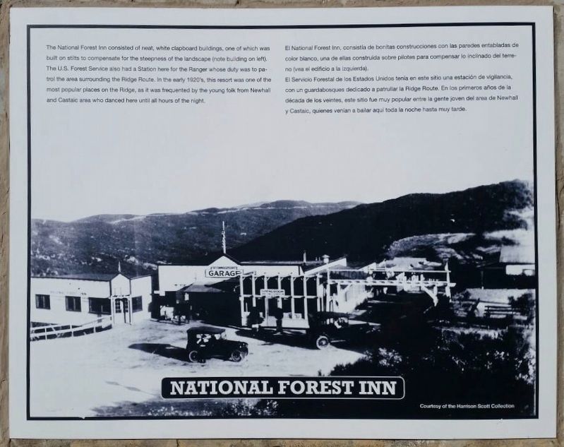
The National Forest Inn consisted of neat, white clapboard buildings, one of which was built on stilts to compensate for the steepness of the landscape (note building on left).
The U.S. Forest Service also had a Station here for the Ranger whose duty it was to patrol the area surrounding the Ridge Route. In the early 1920’s, this resort was one of the most popular places on the Ridge, as it was frequented by the young folk from Newhall and Castaic area who danced here until all hours of the night.
El Servicio Forestal de Estados Unidos tenía en este sitio una estación de vigilancia, con un guardabosques dedicado a patrullar la Ridge Route. En los primeros años de la decada de los veintes, este sitio fue muy popular entre la gente joven del area de Newhall y Castaic, quienes venían a bailar aquí toda la noche hasta muy tarde.
Erected 1997 by California 4×4 Club; Boy Scout Troop 583 (Castaic); and Ridge Route Preservation Organization.
Topics. This historical marker is listed in these topic lists: Industry & Commerce • Roads & Vehicles. A significant historical year for this entry is 1915.
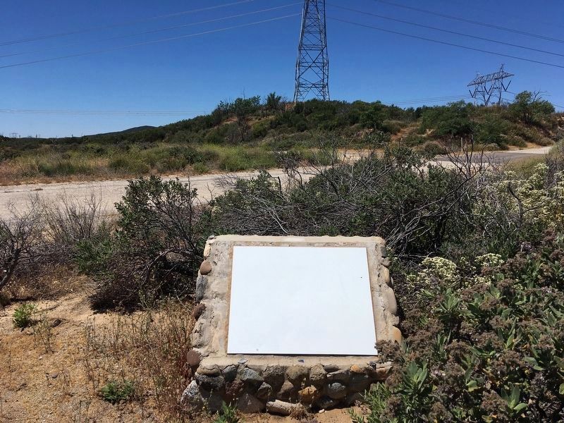
Location. 34° 37.036′ N, 118° 42.012′ W. Marker has been reported unreadable. Marker is near Castaic, California, in Los Angeles County. Marker is on Ridge Route Road, 4.8 miles north of Templin Highway, on the right when traveling north. The marker is located 3.4 miles north of a locked gate. Touch for map. Marker is in this post office area: Castaic CA 91384, United States of America. Touch for directions.
Other nearby markers. At least 10 other markers are within 9 miles of this location, measured as the crow flies. Ridge Route Directory (approx. 1½ miles away); Swede’s Cut (approx. 2.1 miles away); Reservoir Summit (approx. 3½ miles away); Castaic Powerplant (approx. 4.6 miles away); The “Ridge Route” (approx. 4.6 miles away); Kelly’s Halfway Inn (approx. 4.9 miles away); Tumble Inn (approx. 6.4 miles away); Liebre State Highway Camp (approx. 6.8 miles away); Liebre Summit (approx. 8 miles away); Sandberg’s Summit Hotel (approx. 8.6 miles away). Touch for a list and map of all markers in Castaic.
More about this marker. This part of the Ridge Route is currently closed to vehicles from
1½ miles north of Templin Highway at the south end, to 6½ miles south of Highway 138 at the north end. The 13-mile central portion remains closed to all motor vehicle traffic. Walking, bicycling, and horseback riding are allowed. Efforts to re-open the road are ongoing, as are efforts to install new markers.
This road was added to the National Register of Historic Places in 1997.
Related marker. Click here for another marker that is related to this marker. — Ridge Route Directory
Also see . . . Ridge Route Preservation Organization. (Submitted on June 17, 2020.)
Credits. This page was last revised on January 30, 2023. It was originally submitted on June 17, 2020. This page has been viewed 499 times since then and 84 times this year. Photos: 1, 2, 3, 4. submitted on June 17, 2020, by Craig Baker of Sylmar, California. • J. Makali Bruton was the editor who published this page.


