
Marker Logo
THE HISTORICAL
MARKER DATABASE
“Bite-Size Bits of Local, National, and Global History”
Maynardville in Union County, Tennessee — The American South (East South Central)
 

Veterans Memorial Bridge
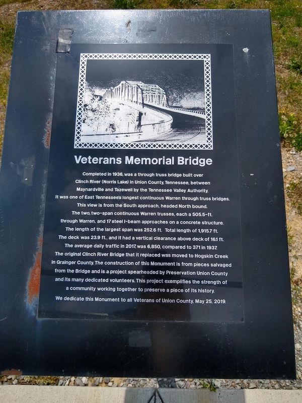
 
 
Veterans Memorial Bridge Marker image. Click for full size.
Photographed by Tom Bosse, May 14, 2020
1. Veterans Memorial Bridge Marker
Inscription. Completed in 1936, was a through truss bridge built over Clinch River (Norris Lake) in Union County, Tennessee between Maynardville and Tazewell by the Tennessee Valley Authority. It was one of East Tennessee’s longest continuous Warren through truss bridges. This view is from the South approach, headed North bound. The two, two-span continuous Warren trusses, each a 505.5-ft. through Warren, and 17 steel I-beam approaches on a concrete structure. The length of the largest span was 252.6 ft. Total length of 1,915.7 ft. The deck was 23.9 ft., and it had a vertical clearance above deck of 161.1 ft. The average daily traffic in 2017, was 6,850, compared to 371 in 1937. The original Clinch River Bridge that it replaced was moved to Hogskin Creek in Grainger County The construction of this monument is from pieces salvaged from the Bridge and is a project spearheaded by Preservation Union County and its many dedicated volunteers. This project exemplifies the strength of a community working together to preserve a piece of its history. We dedicated this Monument to all Veterans of Union County, May 25, 2019.
 
Erected 2019 by
Paid Advertisement
Click or scan to see
this page online
Preservation Union County.
 
Topics. This historical marker is listed in this topic list: Bridges & Viaducts. A significant historical date for this entry is May 25, 2019.
 
Location. 36° 14.328′ N, 83° 49.105′ W. Marker is in Maynardville, Tennessee, in Union County. It is on Wilson Lane just south of Main Street, on the right when traveling north. Marker is located in Wilson Park. Touch for map. Marker is at or near this postal address: 130 Wilson Ln, Maynardville TN 37807, United States of America. Touch for directions.

Regionally, this marker is in East Tennessee and in Greater Knoxville. It is also in the American South, specifically in the Upper South, in Appalachia, and specifically in Southern Appalachia. Globally, it is in North America, the Western Hemisphere, the Western World, and the Anglosphere. Historically, it finds itself in what was once the territory of the Mississippian Culture, one of the Confederate States of America, and the Antebellum South.

Other nearby markers. At least 8 other markers are within 7 miles of this marker, measured as the crow flies: Wilson Park (within shouting distance of this marker); Union County World War I Monument
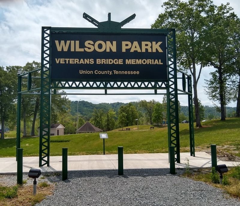
Veterans Memorial Bridge Marker image. Click for full size.
Photographed by Tom Bosse, May 14, 2020
2. Veterans Memorial Bridge Marker
(approx. 1.1 miles away); Divided Loyalties (approx. 1.1 miles away); Roy Claxton Acuff (approx. 1.3 miles away); Horace Maynard (approx. 1.3 miles away); Racoon Valley (approx. 1.4 miles away); George Mann (approx. 6.3 miles away); Sawyer's Fort (approx. 7 miles away). Touch for a list and map of all markers in Maynardville.
 
Also see . . .  The Bridges of Union County. (Submitted on June 18, 2020, by Tom Bosse of Jefferson City, Tennessee.)
 
 
Credits. This page was last revised on June 21, 2020. It was originally submitted on June 18, 2020, by Tom Bosse of Jefferson City, Tennessee. This page has been viewed 604 times since then and 24 times this year. Photos:   1, 2. submitted on June 18, 2020, by Tom Bosse of Jefferson City, Tennessee. • Devry Becker Jones was the editor who published this page.

m=151540

CeraNet Cloud Computing sponsors the Historical Marker Database.
This website earns income from purchases you make after using our links to Amazon.com. We appreciate your support.
Paid Advertisement
Jul. 16, 2026