
Dorris in Siskiyou County, California — The American West (Pacific Coastal)
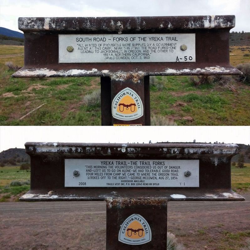
South Road - Forks Of The Yreka Trail
⎯⎯⎯
Yreka Trail - The Trail Forks
| — | California Trail | — |
Photographed by Douglass Halvorsen, April 4, 2015
1. South Road - Forks Of The Yreka Trail / Yreka Trail - The Trail Forks Marker
South Road - Forks Of The Yreka Trail
“All in need of provisions were supplied by a government
agent at this camp. Near this point the road forks-one
leading to Jacksonville, in Oregon, and the other to
Yreka, Northern California.”
James Cowden, Oct. 2, 1853
(back plaque)
Yreka Trail - The Trail Forks
“This morning the volunteers considered us out of danger
and—left us to go on alone-we had tolerable good road.
Four miles from camp we came to where the Oregon Trail
strikes off to the right.”-George McCowen, Aug 27, 1854
Erected 2008 by Trails West Inc. (Marker Number A-50, Y-1.)
Topics and series. This historical marker is listed in this topic list: Exploration. In addition, it is included in the Applegate Trail, the California Trail, the Trails West Inc., and the Yreka Trail series lists. A significant historical date for this entry is August 27, 1854.
Location. 41° 51.436′ N, 121° 45.027′ W. Marker is in Dorris, California, in Siskiyou County. It is on Dorris Brownell Road, on the left when traveling west. Touch for map. Marker is in this post office area: Dorris CA 96023, United States of America.
this page online

Regionally, this marker is on California’s Modoc Plateau, in the Shasta Cascade, and in the Klamath Mountains. It is also in the American Mountain West and specifically in the Pacific Northwest. Globally, it is in North America, in the Cascade Range, on the Ring of Fire, in the Pacific Rim, in the Western Hemisphere, in the Western World, and in the Anglosphere. Historically, it finds itself in what was once New Spain and also Mexico’s Alta California.
Other nearby markers. At least 8 other markers are within 10 miles of this marker, measured as the crow flies: Applegate Trail - Quite Rocky (approx. 2.9 miles away); Yreka Trail - Willow Springs (approx. 3.7 miles away); Applegate Trail - Campt (approx. 5.9 miles away); Yreka Trail - Over Rocky Roads (approx. 6.3 miles away); South Road - Hot Creek (approx. 7.4 miles away); Applegate Trail - Up a Steep Hill (approx. 8.4 miles away); Yreka Trail - No Water (approx. 8½ miles away); Lower Klamath National Wildlife Refuge (approx. 9.7 miles away). Touch for a list and map of all markers in Dorris.
Regarding South Road - Forks Of The Yreka Trail / Yreka Trail - The Trail Forks. This
Photographed by Douglass Halvorsen, April 4, 2015
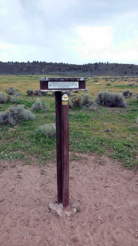
2. South Road - Forks Of The Yreka Trail / Yreka Trail - The Trail Forks Marker
Trails West, Inc. sells a driving guidebook titled A Guide to the Yreka Trail which provides maps and additional history on the Yreka Trail as it passed through designated marker locations. Purchasing this guidebook prior to visiting the Yreka Trail markers is highly encouraged to gain a better experience of the history of this historic trail.
Photographed by Douglass Halvorsen, April 4, 2015
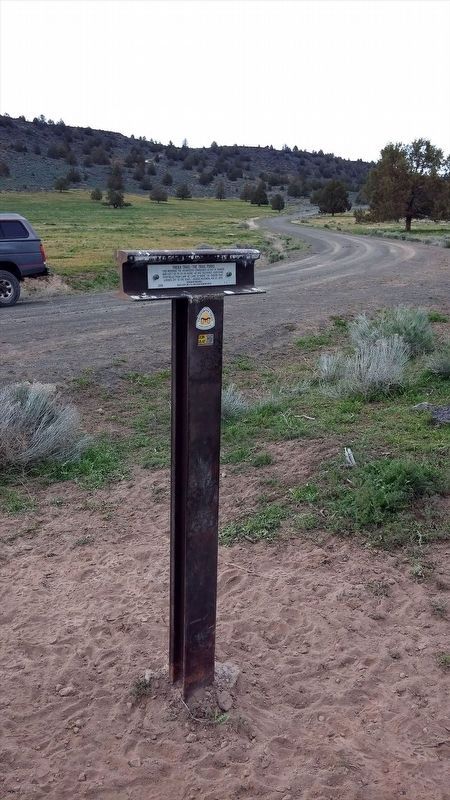
3. Yreka Trail - The Trail Forks Marker
Photographed by Douglass Halvorsen, April 4, 2015
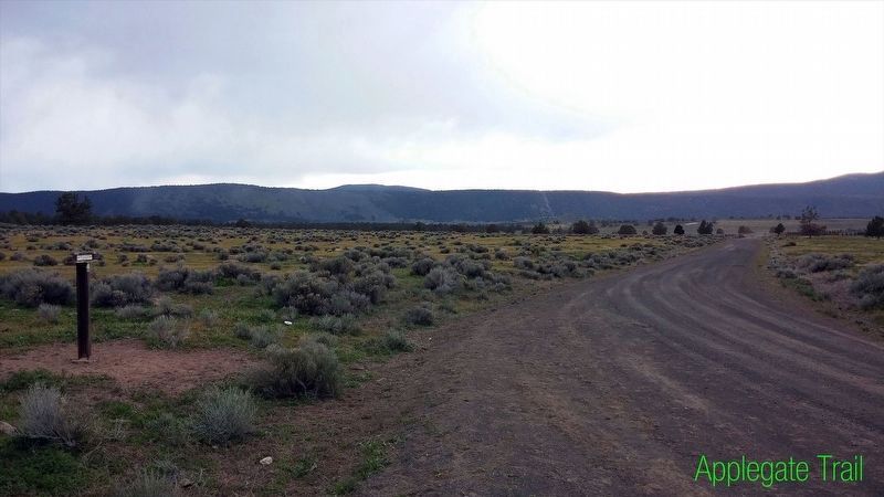
4. Applegate Trail / Yreka Trail - The Trail Forks
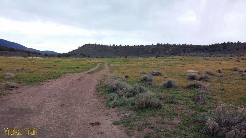
Photographed by Douglass Halvorsen, April 4, 2015
5. South Road - Forks Of The Yreka Trail / Yreka Trail - The Trail Forks
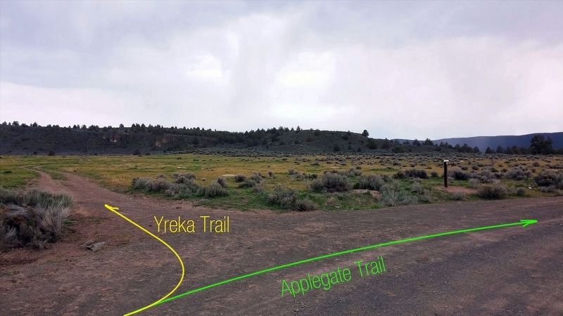
Photographed by Douglass Halvorsen, April 4, 2015
6. Applegate Trail / Yreka Trail
Credits. This page was last revised on September 12, 2025. It was originally submitted on January 19, 2018, by Douglass Halvorsen of Klamath Falls, Oregon. This page has been viewed 625 times since then and 48 times this year. Last updated on June 20, 2020, by Douglass Halvorsen of Klamath Falls, Oregon. Photos: 1, 2, 3, 4, 5, 6. submitted on January 19, 2018, by Douglass Halvorsen of Klamath Falls, Oregon. • J. Makali Bruton was the editor who published this page.
