Halls Crossroads in Knox County, Tennessee — The American South (East South Central)
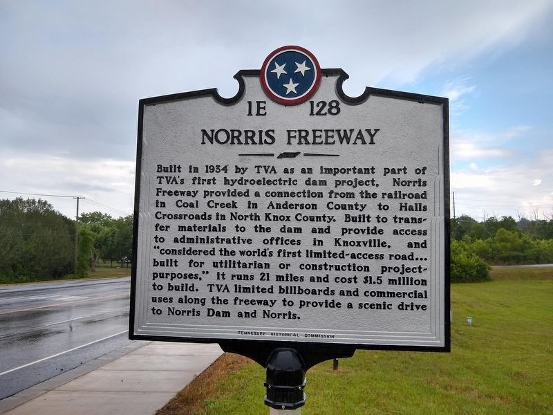
Norris Freeway
Erected by Tennessee Historical Commission. (Marker Number 1E 128.)
Topics and series. This historical marker is listed in this topic list: Roads & Vehicles. In addition, it is included in the Tennessee Historical Commission series list. A significant historical year for this entry is 1934.
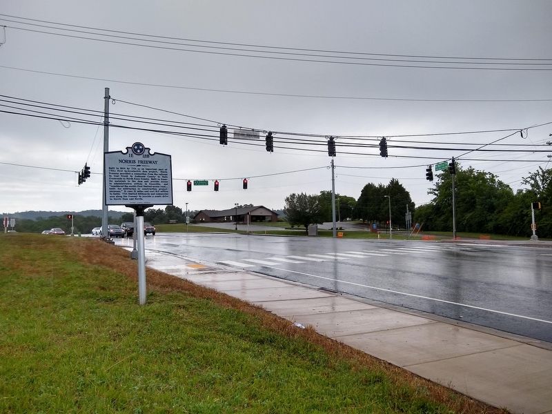
Location. 36° 5.01′ N, 83° 56.105′ W. Marker is in Halls Crossroads, Tennessee, in Knox County. Marker is at the intersection of Norris Freeway (U.S. 441) and East Emory Road (State Highway 131), on the right when traveling north on Norris Freeway. Touch for map. Marker is at or near this postal address: 7418 Norris Fwy, Knoxville TN 37938, United States of America. Touch for directions.
Other nearby markers. At least 8 other markers are within 5 miles of this marker, measured as the crow flies. Mt. Fuji (approx. 2 miles away); Savage Garden (approx. 2.9 miles away); Fountain City Schools (approx. 3 miles away); Fountain City United Methodist Church (approx. 3.3 miles away); Mr. Anderson's Log College (approx. 3˝ miles away); Site of Fort Adair (approx. 4 miles away); Fort Adair (approx. 4 miles away); Mary Frances Housley (approx. 4.1 miles away).
Additional keywords. The New Deal
Credits. This page was last revised on January 15, 2024. It was originally submitted on June 21, 2020, by Tom Bosse of Jefferson City, Tennessee. This page has been viewed 338 times since then and 49 times this year. Last updated on January 14, 2024, by Carl Gordon Moore Jr. of North East, Maryland. Photos: 1, 2. submitted on June 21, 2020, by Tom Bosse of Jefferson City, Tennessee. • J. Makali Bruton was the editor who published this page.

