Fox Point in Providence in Providence County, Rhode Island — The American Northeast (New England)
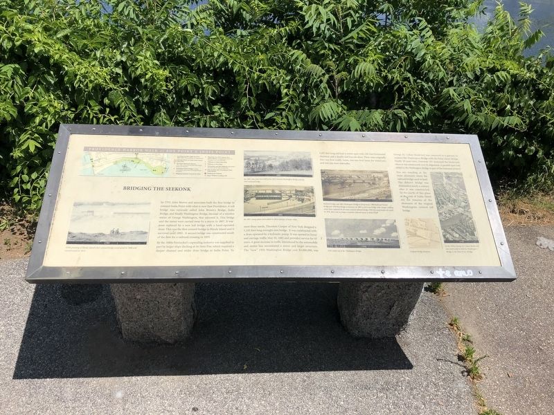
Bridging the Seekonk
Providence Harbor Walk at Fox Point & India Point
In 1793, John Brown and associates built the first bridge to connect India Point with what is now East Providence. A toll bridge was variously called John Brown's Bridge, India Bridge, and finally Washington Bridge, because of a wooden statue of George Washington that adorned it. This bridge and the statue were carried away by a storm in 1807. It was soon replaced by a new toll bridge with a hand-operated draw. This was the first covered bridge in Rhode Island and it survived until 1885. A second bridge was constructed south of the first for a railroad crossing in 1835.
By the 1880s Pawtucket's expanding industry was supplied in part by larger ships docking at its State Pier, which required a deeper channel and wider draw bridge at India Point. To meet these needs, Theodore Cooper of New York designed 1,245 foot long wrought iron bridge. It was constructed with a draw operated by a hydraulic pump. It was opened to horse and carriage traffic May 30, 1885 and provided service for 45 years. A great increase in traffic introduced by the automobile and motor bus necessitated a newer and larger structure. The "new" 1930 Washington Bridge cost $3,000,000, was 2,407 feet long and had a center span with 100-foot horizontal clearance, and a double-leaf bascule draw. There were originally four ten-foot traffic lanes, two ten-foot lanes for streetcars and two ten-foot sidewalks.
George M. Cohan Boulevard was conceived as a gateway to connect the Washington Bridge with the Point Street Bridge. Nearly 30 years later, Interstate 195 destroyed the boulevard when it was constructed over its alignment. A parallel span was added to the Washington Bridge as part of the Interstate project.
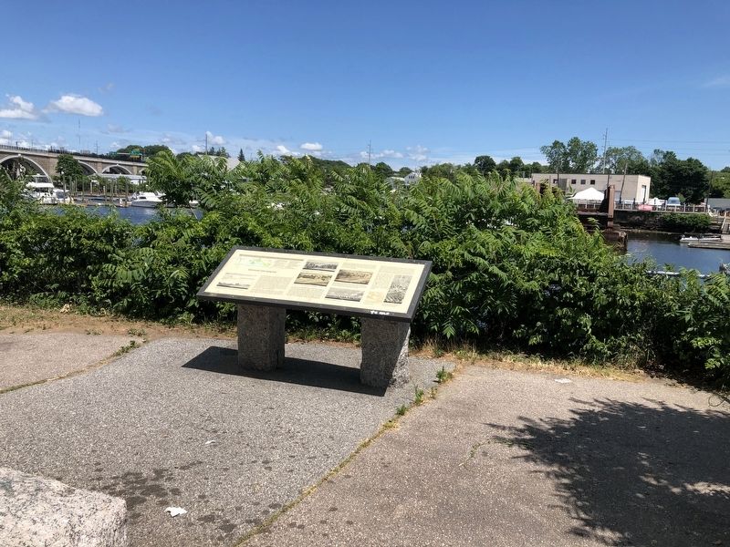
You are standing at the stone abutment where the railroad bridge used to land. The defunct bridge was dismantled nearly a century after it was constructed. To the north of this place at the end of India Street are the remnants of the abutment of the original Washington covered trail bridge. (Marker Number 11.)
Topics. This historical marker is listed in these topic lists: Bridges & Viaducts • Industry & Commerce • Railroads & Streetcars • Waterways & Vessels. A significant historical date for this entry is May 30, 1885.
Location. 41° 49.033′ N, 71° 23.296′ W. Marker is in Providence, Rhode Island, in Providence County. It is in Fox Point. Marker is on India Street, 0.2 miles east of Tockwotton Street, on the right when traveling east. Touch for map. Marker is at or near this postal address: 263 India St, Providence RI 02903, United States of America. Touch for directions.
Other nearby markers. At least 8 other markers are within walking distance of this marker. Roger Williams Landing 1636 (within shouting distance of this marker); Tockwotton and the Indiamen / Sails to Rails 1835: Providence's First Train Station
Credits. This page was last revised on February 8, 2023. It was originally submitted on June 21, 2020, by Devry Becker Jones of Washington, District of Columbia. This page has been viewed 187 times since then and 12 times this year. Photos: 1, 2. submitted on June 21, 2020, by Devry Becker Jones of Washington, District of Columbia.

