Whitebridge in Nashville in Davidson County, Tennessee — The American South (East South Central)
Robertson Avenue
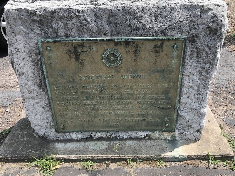
Photographed by Duane and Tracy Marsteller, June 20, 2020
1. Robertson Avenue Marker
Original driveway to “Travelers' Rest,” home of Gen'l. James Robertson, founder of Nashville. He and other pioneers received immense grants of land in this neighborhood from North Carolina for their public services.
Erected 1935 by Gen. James Robertson Chapter, Daughters of the American Revolution.
Topics and series. This historical marker is listed in these topic lists: Roads & Vehicles • Settlements & Settlers • War, US Revolutionary. In addition, it is included in the Daughters of the American Revolution (DAR) series list.
Location. 36° 9.058′ N, 86° 51.257′ W. Marker is in Nashville, Tennessee, in Davidson County. It is in Whitebridge. It is on Charlotte Avenue (U.S. 70) ¼ mile east of White Bridge Pike, on the right when traveling east. The marker is immediately east of the bridge over Richland Creek. Touch for map. Marker is at or near this postal address: 5420 Charlotte Avenue, Nashville TN 37209, United States of America. Touch for directions.

Regionally, this marker is in Middle Tennessee. It is also in the American South and specifically
this page online
Other nearby markers. At least 8 other markers are within walking distance of this marker: Battle of Nashville (within shouting distance of this marker); St. Ann Catholic Church and School (approx. 0.3 miles away); England Park (approx. 0.4 miles away); Cohen Building (approx. 0.4 miles away); Richland Hall (approx. half a mile away); Cohn School / W.R. Rochelle (1904-1989) (approx. half a mile away); Cockrill School (approx. half a mile away); Richland Park (approx. 0.6 miles away). Touch for a list and map of all markers in Nashville.
Regarding Robertson Avenue. The road still exists but Traveler's Rest, later renamed Richland for the creek near the house, was destroyed by fire in 1902.
Related markers. Click here for a list of markers that are related to this marker.
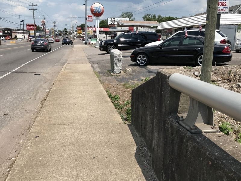
Photographed by Duane and Tracy Marsteller, June 20, 2020
2. Robertson Avenue Marker
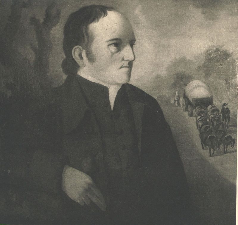
Photographed by Henry Benbridge
3. James Robertson (1742-1814)
Courtesy Tennessee State Library and Archives
Credits. This page was last revised on February 7, 2023. It was originally submitted on June 22, 2020, by Duane and Tracy Marsteller of Murfreesboro, Tennessee. This page has been viewed 717 times since then and 43 times this year. Photos: 1, 2, 3. submitted on June 22, 2020, by Duane and Tracy Marsteller of Murfreesboro, Tennessee. • J. Makali Bruton was the editor who published this page.
