
Silverton in Briscoe County, Texas — The American South (West South Central)
William E. Schott
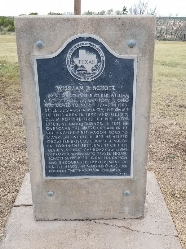
Photographed by Allen Lowrey, June 20, 2020
1. William E. Schott Marker
Briscoe County pioneer William E. Schott (1870-1941) was born in Ohio and moved to North Texas in 1885. Still legally a minor, he came to this area in 1890 and filed a claim for the first of his later extensive landholdings. In 1891 he overcame the caprock barrier by building the first wagon road to Silverton, where in 1892 he helped organize Briscoe County. A major factor in the settlement of this region, Schott Cap Road (1.5 miles north) was improved when auto travel began. Schott supported local education and encouraged improvement of cattle herds. He married (1907) Tina Kitchen; they had four children.
Erected 1975 by Texas Historical Commission. (Marker Number 5825.)
Topics. This historical marker is listed in these topic lists: Industry & Commerce • Settlements & Settlers. A significant historical year for this entry is 1885.
Location. 34° 28.112′ N, 101° 7.041′ W. Marker is in Silverton, Texas, in Briscoe County. It is on State Highway 256, on the left when traveling east. Touch for map. Marker is in this post office area: Silverton TX 79257, United States of America. Touch for directions.

Regionally, this
this page online
Other nearby markers. At least 8 other markers are within 11 miles of this marker, measured as the crow flies: Home for 12,000 Years (approx. 2.3 miles away); Quanah Parker Trail (approx. 3.8 miles away); Lake Theo Folsom Bison Kill Site (approx. 4½ miles away); Natural Disturbance-Lifeblood of the Prairies (approx. 5.4 miles away); a different marker also named Quanah Parker Trail (approx. 8.2 miles away); Resthaven Cemetery (approx. 8.9 miles away); William Moten Vaughan (approx. 9.7 miles away); Gasoline Cotton Gin (approx. 10½ miles away).
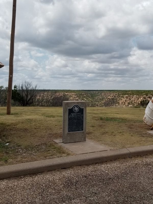
Photographed by Allen Lowrey, June 20, 2020
2. William E. Schott Marker
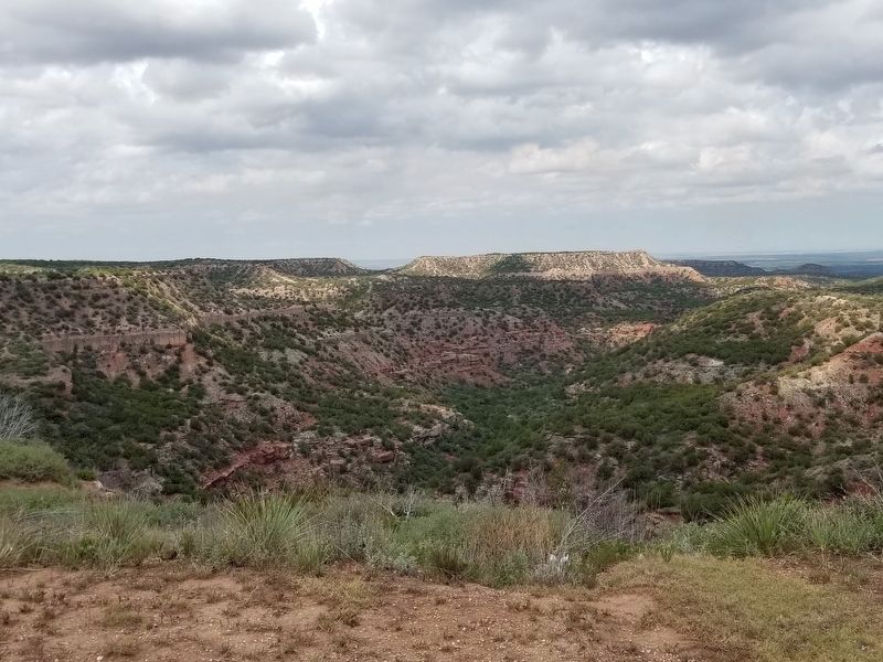
Photographed by Allen Lowrey, June 20, 2020
3. A view from the William E. Schott Marker
Credits. This page was last revised on November 29, 2024. It was originally submitted on June 21, 2020, by Allen Lowrey of Amarillo, Texas. This page has been viewed 869 times since then and 48 times this year. Last updated on June 22, 2020, by Allen Lowrey of Amarillo, Texas. Photos: 1, 2, 3. submitted on June 21, 2020, by Allen Lowrey of Amarillo, Texas. • J. Makali Bruton was the editor who published this page.
