Worcester in Worcester County, Massachusetts — The American Northeast (New England)
The Blackstone Canal: 1828-1848
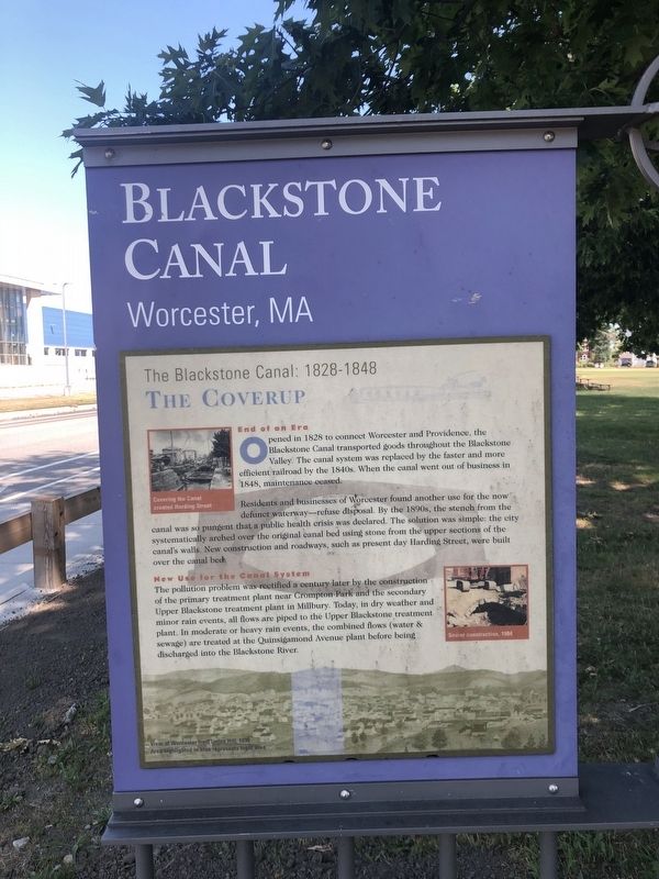
The Coverup
— Blackstone Canal: Worcester, MA —
End of an Era
Opened in 1828 to connect Worcester and Providence, the Blackstone Canal transported goods throughout the Blackstone Valley. The canal system was replaced by the faster and more efficient railroad by the 1840s. When the canal went out of business in 1848, maintenance ceased.
Residents and businesses of Worcester found another use for the now defunct waterway—refuse disposal. By the 1890s, the stench from the canal was so pungent that a public health crisis was declared. The solution was simple: the city systematically arched over the original canal bed using stone from the upper sections of the canal's walk. New construction and roadways, such as present day Harding Street, were built over the canal bed.
New Use for the Canal System
The pollution problem was rectified a century later by the construction of the primary treatment plant near Compton Park and the secondary Upper Blackstone treatment plant in Millbury. Today, in dry weather and minor rain events, all flows are piped to the Upper Blackstone treatment plant. In moderate or heavy rain events, the combined flows (water & sewage) are treated at the Quinsigamond Avenue plant before being discharged into the Blackstone River.
The Blackstone Canal in Worcester
The Blackstone Canal was the first reliable transportation corridor connecting the major shipping center, Providence, RI to the growing hinterland of Worcester in Central Massachusetts. The Blackstone Canal, as a major transportation link for goods and material, created significant economic growth that pushed the development of the railroads in the region. The John H. Chafee Blackstone River National Heritage Corridor was established by the U.S. Congress in 1986 to recognize the region's special place in American History.
Erected by City of Worcester Department of Public Works.
Topics. This historical marker is listed in these topic lists: Industry & Commerce • Railroads & Streetcars • Waterways & Vessels. A significant historical year for this entry is 1828.
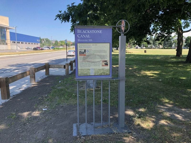
Location. 42° 14.935′ N, 71° 48.241′ W. Marker is in Worcester, Massachusetts, in Worcester County. Marker is at the intersection of Quinsigamond Avenue and Canton Street, on the right when traveling north on Quinsigamond Avenue. Touch for map. Marker is at or near this postal address: 59 Quinsigamond Ave, Worcester MA 01610, United States of America. Touch for directions.
Other nearby markers. At least 8 other markers are within walking distance of this marker. Green Island (here, next to this marker); Bartholomew F. (Bart) Sullivan (approx. ¾ mile away); John J. (Jack) Barry '10 (approx. ¾ mile away); Jonas Rice Homesite (approx.
![The Blackstone Canal: 1828-1848 Marker [Reverse]. Click for full size. The Blackstone Canal: 1828-1848 Marker [Reverse] image. Click for full size.](Photos5/527/Photo527134.jpg?6222020115400PM)
Photographed By Devry Becker Jones (CC0), June 20, 2020
2. The Blackstone Canal: 1828-1848 Marker [Reverse]
Credits. This page was last revised on June 22, 2020. It was originally submitted on June 22, 2020, by Devry Becker Jones of Washington, District of Columbia. This page has been viewed 283 times since then and 38 times this year. Photos: 1, 2, 3. submitted on June 22, 2020, by Devry Becker Jones of Washington, District of Columbia.

