Strasburg in Shenandoah County, Virginia — The American South (Mid-Atlantic)
Signal Knob
Key Observation Post
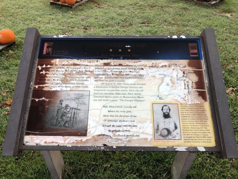
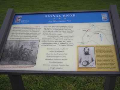
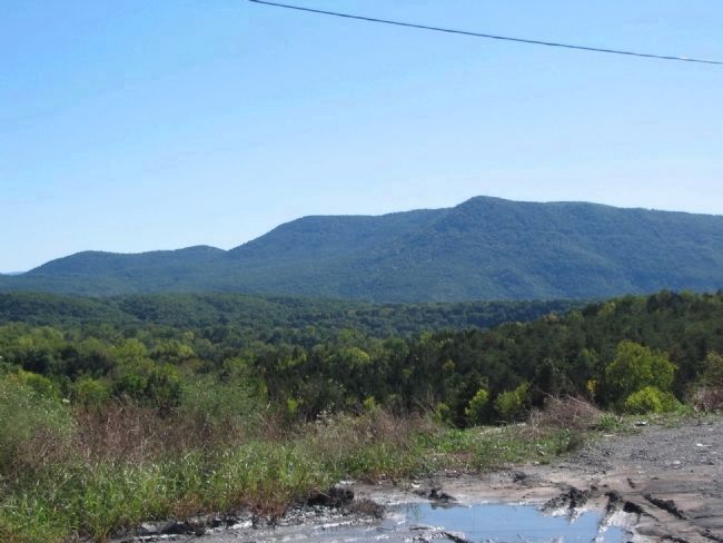
Signal Knob, the northernmost point of Three Top Mountain, overlooks Strasburg and is 2110 ft. above sea level. During the Civil War, both sides used it as a signal station, but the Confederate signal corps occupied it almost continuously from 1862 to 1864. On October 19, 1864, Confederates there observed Union positions and directed the opening attack of the Battle of Cedar Creek. Other signal stations were established at Ashby Gap (east of Winchester), Burnt Springs (south in Fort Valley), Harmony Hollow (near Front Royal), and New Market Gap. Special signal flags, lanterns, and telescopes were used to communicate from one peak to another.
On August 14, 1864, Union troops attacked a detachment of the 61st Georgia Infantry and temporarily occupied the station. Each side suffered ten casualties. Years later, Mary Ashley Townsend found a grave on Massanutten Mountain and wrote a poem, “The Georgia Volunteer”:
Roll, Shenandoah, proudly roll
Adown thy rocky glen;
Above thee lies the grace of one
Of Stonewall Jackson’s men.
Beneath the cedar and the pine
In solitude austere,
Unknown, unnamed, forgotten, lies
A Georgia volunteer.
[Sidebar:]
Many local men served in Co. A (Strasburg Guard), 10th Virginia Infantry, during the war. Its captain, Joshua Stover (later a major), died at the Battle of Chancellorsville on May 3, 1863. After the war, Confederate veterans gathered the remains of soldiers into the Presbyterian Cemetery and in 1896 dedicated an obelisk, which stands to your left. “In memory of our Fallen Comrades, Numbering 136.” The Presbyterian Church, built in 1830, served as a hospital throughout the war after Dr. William J. Upshaw established one there in 1862. Later, Federals used the church as a hospital before relocating to Winchester.
Erected by Virginia Civil War Trails.
Topics and series. This historical marker is listed in this topic list: War, US Civil. In addition, it is included in the Virginia Civil War Trails series list. A significant historical month for this entry is May 1778.
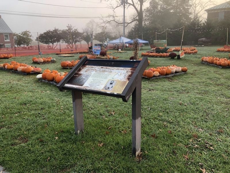
Location. 38° 59.164′ N, 78° 21.787′ W. Marker has been reported damaged. Marker is in Strasburg, Virginia, in Shenandoah County. Marker is at the intersection of South Holiday Street and Ram Drive (Virginia Route 9746), on the left when traveling south on South Holiday Street. Marker is located near the Presbyterian Church. Touch for map. Marker is at or near this postal address: 325 S Holliday St, Strasburg VA 22657, United States of America. Touch for directions.
Other nearby markers. At least 8 other markers are within walking distance of this location. Confederate Memorial (within shouting distance of this marker); "Lest We Forget!"

Photographed By Devry Becker Jones (CC0), October 31, 2020
2. Signal Knob Marker
The marker has significantly weathered.
More about this marker. The bottom left of the marker contains a drawing of “Jedediah Hotchkiss and Gen. John B. Gordon observ[ing] Federal positions from Signal Knob, Oct. 18, 1864, before the Battle of Cedar Creek.” The sidebar includes a photograph of Joshua Stover, 10th Va. Inf. The upper right of the marker contains a map of area, indicating the location of the marker near Strasburg.
Also see . . .
1. Signal Knob. NPS Cedar Creek & Belle Grove National Historical Park website entry (Submitted on June 8, 2022, by Larry Gertner of New York, New York.)
2. Battle of Cedar Creek (19 October 1864). The
3. Signal Knob Hiking Trail. Trail notes and topographical map of the Signal Knob area. (Submitted on January 11, 2009, by Craig Swain of Leesburg, Virginia.)
Credits. This page was last revised on June 8, 2022. It was originally submitted on January 10, 2009, by Bill Coughlin of Woodland Park, New Jersey. This page has been viewed 3,204 times since then and 31 times this year. Photos: 1. submitted on January 10, 2009, by Bill Coughlin of Woodland Park, New Jersey. 2, 3. submitted on November 1, 2020, by Devry Becker Jones of Washington, District of Columbia. 4. submitted on January 11, 2009, by Craig Swain of Leesburg, Virginia.


