Richmond in Prince County, Prince Edward Island — The Atlantic Provinces (North America)
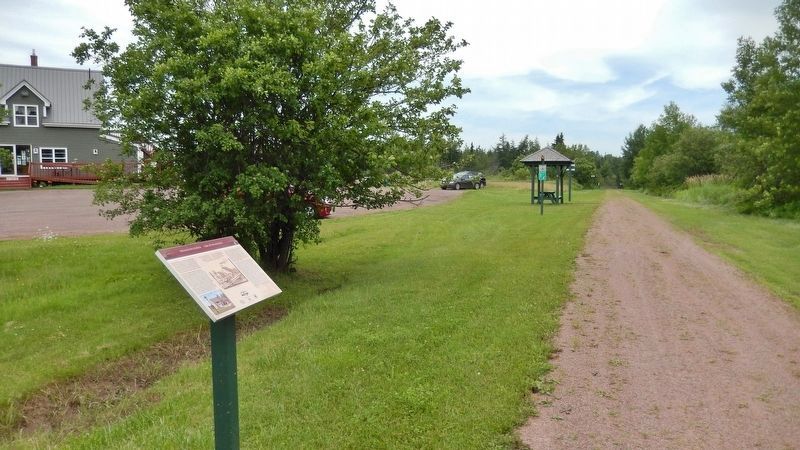
Wellington Station / Gare de Wellington
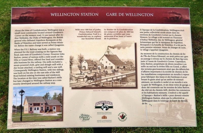
About the time of Confederation, Wellington was a small rural community located around Goodwin's Corner on the western road. It was named after Arthur Wellesley, the Duke of Wellington; the British general who defeated Napoleon Bonaparte at the Battle of Waterloo and later served as Prime Minister. Before the name change it was called Quagmire.
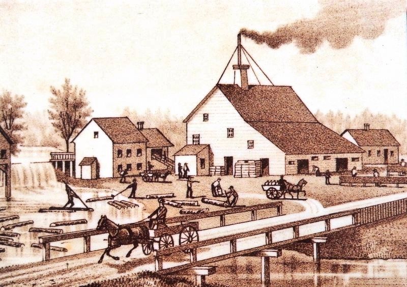
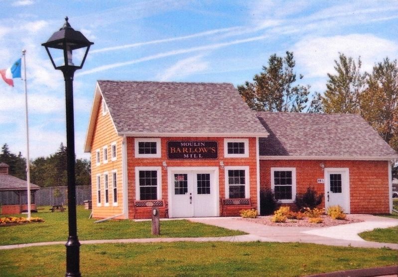
When the P.E.I. Railway was built, a station was planned for the road crossing on the Egmont Bay Road, just west of Goodwin's Corner. However John Barlow, owner of various mills a mile south on the Ellis or Grand River, offered free land and considerable business for the railway. His mills included a steam-powered cloth, grist and shingle mill with a dye house attached, a carding mill and a saw mill. Consequently Wellington Station, with two sidings, was built on his site on the east side of the Mill Road behind existing businesses and residences. The location at the time was called Barlow's Mills but later changed to Wellington Station as a community developed around the railway stop.
With over 400 km of paths, Prince Edward Island’s Confederation Trail is a wonderful way to explore our beautiful Island.
À l'époque de la Confédération, Wellington était une petite collectivité rurale située dans les environs de Goodwin's Corner sur le chemin Western. Le village a été nommé en l'honneur d'Arthur Wellesley, duc de Wellington, général britannique qui fut le vainqueur de Napoléon Bonaparte à la bataille de Waterloo; il a été par la suite premier ministre. Avant de changer de nom, le village s'appelait Quagmire.
Au moment de la construction du chemin de fer de l'Île-du-Prince-Édouard, on avait prévu une gare au passage à niveau sur le chemin de Baie-Egmont, juste à l'ouest de Goodwin's Corner. Cependant, John Barlow, propriétaire de divers moulins à un mille au sud sur la rivière Ellis ou Grand, a offert des terrains gracieusement ainsi que des débouchés d'affaires importants à la société de chemin de fer. Ses installations comprenaient un moulin à vapeur pour fabriquer des tissus et des bardeaux et pour broyer le grain ainsi qu'un atelier de teinture attenant, un moulin à carder et un moulin à scie. La gare de Wellington, et ses deux voies de garage, a donc été construite sur les terrains de John Barlow, du côté est du chemin Mill, derrière les commerces et les habitations existants. L'endroit a été appelé à l'époque « Barlow's Mills » pour devenir ensuite Wellington Station, alors que la collectivité se développait dans le voisinage de l'arrêt de chemin de fer.
Le Sentier de la Confédération est composé de plus de 400 km de pistes cyclables qui vous mèneront d'un bout à l'autre de la province.
Erected by Prince Edward Island Museum & Heritage, Trans Canada Trail and Confederation Trail.
Topics. This historical marker is listed in these topic lists: Industry & Commerce • Railroads & Streetcars • Settlements & Settlers.
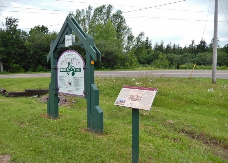
Location. 46° 30.525′ N, 63° 59.492′ W. Marker is in Richmond, Prince Edward Island, in Prince County. Marker is on Western Road, 0.1 kilometers north of Macisaac Road (Prince Edward Island Route 127), on the right when traveling north. Marker is located beside the Confederation Trail. Touch for map. Marker is at or near this postal address: 31472 Western Road, Richmond PE C0B 1Y0, Canada. Touch for directions.
Other nearby markers. At least 8 other markers are within 13 kilometers of this marker, measured as the crow flies. L'Église Saint-Jean-Baptiste (approx. 12.7 kilometers away); L'économie (approx. 12.7 kilometers away); La Convention nationale des Acadiens de 1884 (approx. 12.7 kilometers away); L'évolution du village de Miscouche (approx. 12.7 kilometers away); Le Couvent Saint-Joseph et les religieuses de la Congrégation de Notre-Dame (approx. 12.8 kilometers away); La Fanfare de Miscouche (approx. 12.8 kilometers away); Les Acadiens de la baie de Malpèque (approx. 12.8 kilometers away); La fondation de Miscouche (approx. 12.8 kilometers away).
Credits. This page was last revised on September 18, 2020. It was originally submitted on June 23, 2020, by Cosmos Mariner of Cape Canaveral, Florida. This page has been viewed 139 times since then and 10 times this year. Photos: 1, 2, 3, 4, 5. submitted on June 23, 2020, by Cosmos Mariner of Cape Canaveral, Florida.
