Coopertown in Robertson County, Tennessee — The American South (East South Central)
Davidson County / Robertson County
Inscription.
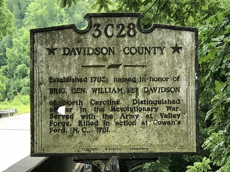
Established 1783; named in honor of
Brig. Gen. William Lee Davidson
of North Carolina. Distinguished
officer in the Revolutionary War.
Served with the Army at Valley
Forge. Killed in action at Cowan's
Ford, N. C. 1781.
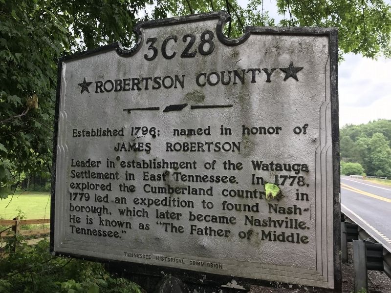
Established 1796; named in honor of
James Robertson
Leader in establishment of the Watauga
Settlement in East Tennessee. In 1778,
explored the Cumberland country; in
1779 led an expedition to found Nash-
borough, which later became Nashville.
He is known as “The Father of Middle
Erected by Tennessee Historical Commission. (Marker Number 3C 28.)
Topics and series. This historical marker is listed in these topic lists: Exploration • Settlements & Settlers • War, US Revolutionary. In addition, it is included in the Tennessee Historical Commission series list. A significant historical year for this entry is 1783.
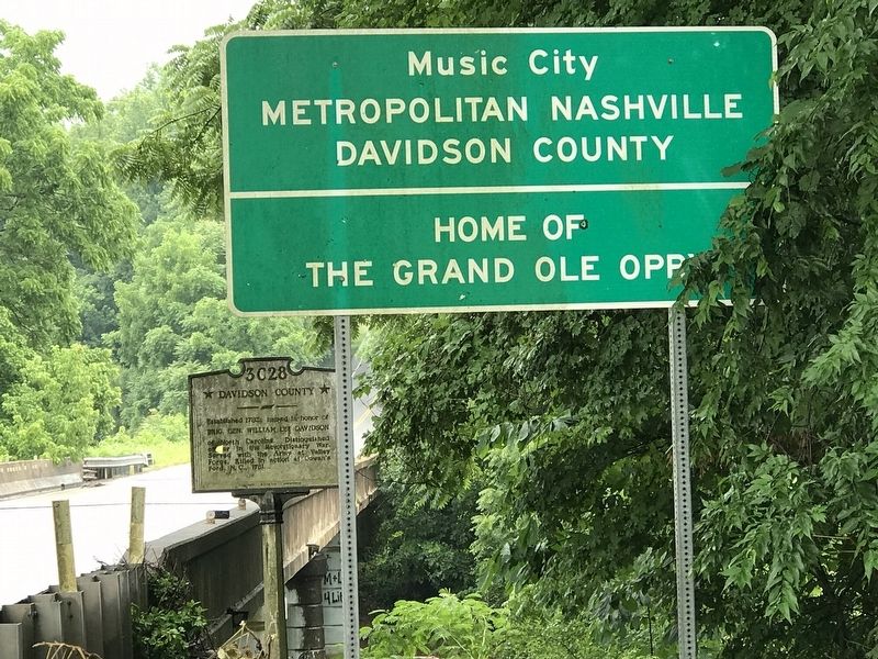
Location. 36° 23.415′ N, 86° 53.946′ W. Marker is in Coopertown, Tennessee, in Robertson County. Marker is on Tom Austin Highway (U.S. 431) south of Abednego Road , on the right when traveling south. The marker is located at the bridge over Redding Branch. Touch for map. Marker is in this post office area: Greenbrier TN 37073, United States of America. Touch for directions.
Other nearby markers. At least 8 other markers are within 8 miles of this marker, measured as the crow flies. Paradise Ridge (approx. 4.4 miles away); Nave's Crossroads (approx. 5 miles away); Battle Creek Massacre (approx. 5.1 miles away); Mount Zion (approx. 5.6 miles away); Saint Michael's Mission (approx. 5.7 miles away); Nelson's Greenbrier Distillery (approx. 5.9 miles away); Crockett's Station (approx. 6 miles away); Pleasant View (approx. 7.6 miles away). Touch for a list and map of all markers in Coopertown.
Credits. This page was last revised on June 27, 2020. It was originally submitted on June 23, 2020, by Duane and Tracy Marsteller of Murfreesboro, Tennessee. This page has been viewed 176 times since then and 21 times this year. Photos: 1, 2, 3. submitted on June 23, 2020, by Duane and Tracy Marsteller of Murfreesboro, Tennessee. • J. Makali Bruton was the editor who published this page.


