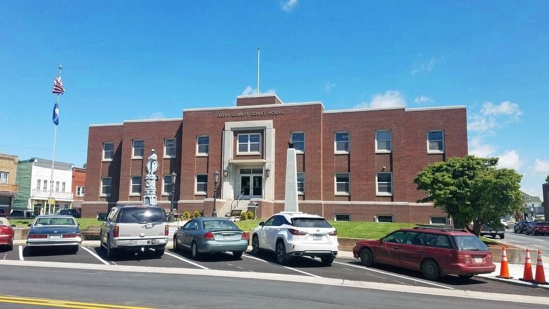
Floyd in Floyd County, Virginia — The American South (Mid-Atlantic)
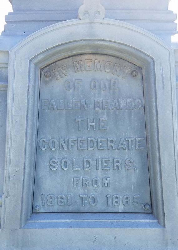
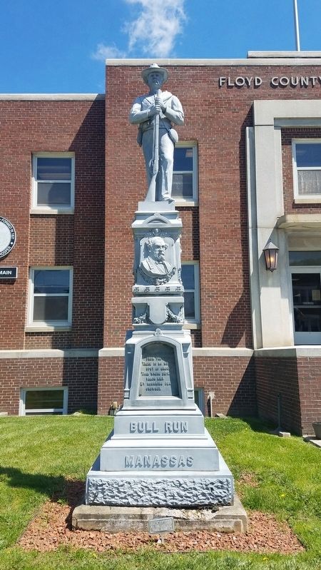
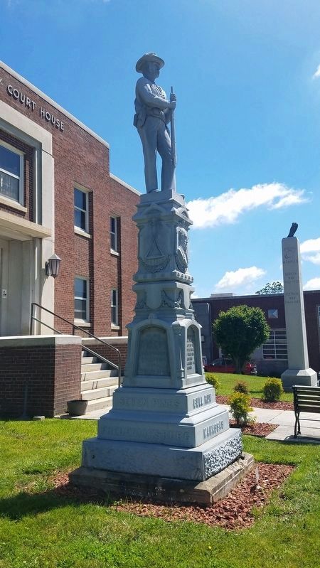
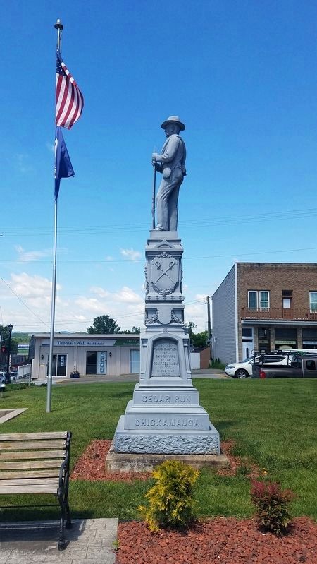
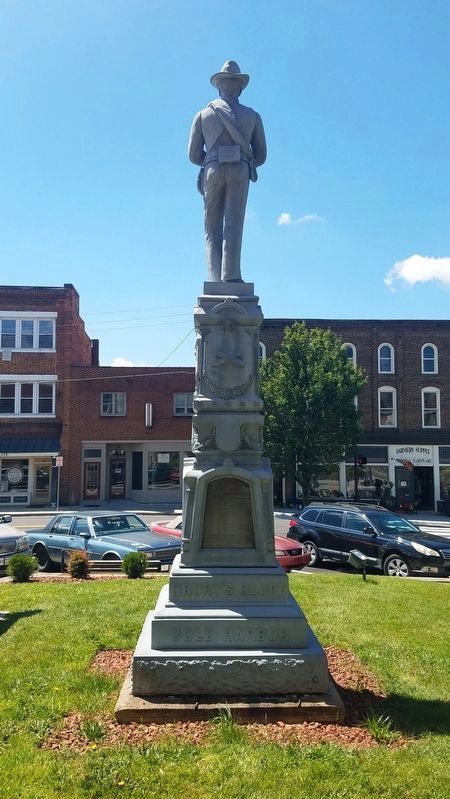
Floyd County Civil War Memorial
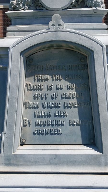
Stoop Angels, hither from the skies;
there is no holier spot of ground
Than where defeated valor lies,
By mourning beauty crowned.
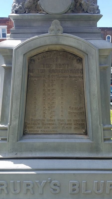
Floyd County to the Army of the Confederacy,
Company A, 24th Virginia Infantry,
Company B, 42d Virginia Infantry,
Company A, 54th Virginia Infantry,
Company B, 54th Virginia Infantry,
Company D, 54th Virginia Infantry,
Company H, 54th Virginia Infantry,
Company I, 54th Virginia Infantry,
Company G, 21st Virginia Cavalry,
Company H, 4th Virginia Reserves,
Company I, 4th Virginia Reserves,
Besides more than 80 men in Pelman’s Battery, Stuarts Horse Artillery and many Floyd men in other commands.
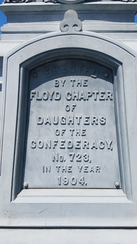
Erected 1904 by Floyd Chapter of Daughters of the Confederacy, No. 723.
Topics. This memorial is listed in this topic list: War, US Civil.
Location. 36° 54.686′ N, 80° 19.199′ W. Marker is in Floyd, Virginia, in Floyd County. Memorial is at the intersection of East Main Street (U.S. 221) and North Locust Street (Virginia Route 8), on the left when traveling east on East Main Street. Touch for map. Marker is at or near this postal address: 100 East Main Street, Floyd VA 24091, United States of America. Touch for directions.
Other nearby markers. At least 8 other markers are within 7 miles of this marker, measured as the crow flies. Floyd County War Memorial (a few steps from this marker); Floyd (a few steps from this marker); Jacksonville Presbyterian Church (about 600 feet away, measured in a direct line); Nannie Harmon Howard House (about 600 feet away); Former Site of an African-American School (approx. ¼ mile away); Albert Tappe Howard’s Milk House (approx. 0.4 miles away); Rakes Mill Pond (approx. 3.7 miles away); Buffalo Mountain (approx. 6.2 miles away). Touch for a list and map of all markers in Floyd.
Credits. This page was last revised on June 28, 2020. It was originally submitted on June 25, 2020, by Kevin W. of Stafford, Virginia. This page has been viewed 360 times since then and 52 times this year. Photos: 1, 2, 3, 4, 5, 6, 7, 8, 9. submitted on June 25, 2020, by Kevin W. of Stafford, Virginia.
