Downtown in Hartford in Capitol Region, Connecticut — The American Northeast (New England)
Bob Steele
1911 - 2002
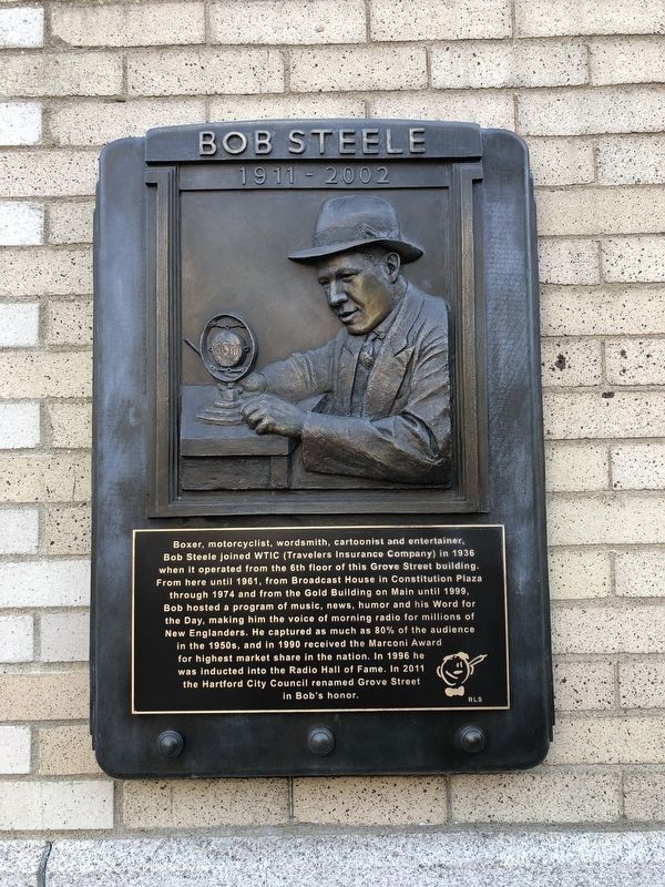
Topics. This historical marker is listed in these topic lists: Communications • Entertainment. A significant historical year for this entry is 1936.
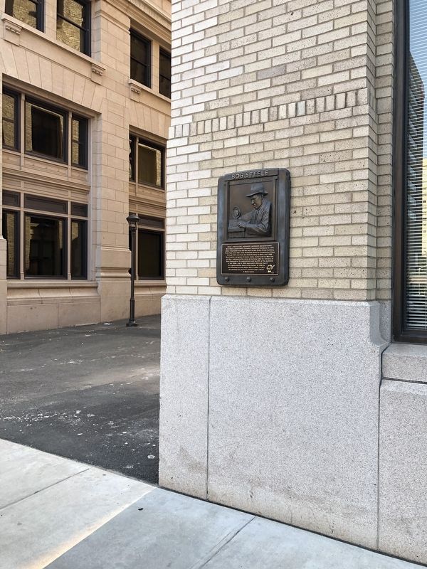
Location. 41° 45.886′ N, 72° 40.334′ W. Marker is in Hartford in Capitol Region, Connecticut. It is in Downtown. It is at the intersection of Prospect Street and Bob Steele Street, on the right when traveling south on Prospect Street. Touch for map. Marker is at or near this
this page online

Regionally, this marker is in the Connecticut River Valley and in the Knowledge Corridor. It is also in the American Northeast and in New England. Globally, it is in North America, the Western Hemisphere, the Western World, and the Anglosphere. Historically, it finds itself in what was once Hartford County and also one of the original Thirteen Colonies.
Other nearby markers. At least 8 other markers are within walking distance of this marker: The Safe Arrival (about 300 feet away, measured in a direct line); The Wadsworth Barn (about 300 feet away); William H. Putnam (about 400 feet away); Lafayette's Tour (about 400 feet away); World's First Pay Telephone (about 400 feet away); Governor's Foot Guard (about 400 feet away); The First Meeting of Washington and Rochambeau (about 400 feet away); a different marker also named Governor's Foot Guard (about 400 feet away). Touch for a list and map of all markers in Hartford.
Credits. This page was last revised on May 19, 2026. It was originally submitted on June 25, 2020, by Devry Becker Jones of Washington, District of Columbia. This page has been viewed 302 times since then and 28 times this year. Photos: 1, 2. submitted on June 25, 2020, by Devry Becker Jones of Washington, District of Columbia.
